
Oxford in Calhoun County, Alabama — The American South (East South Central)
The City of Oxford Cemetery
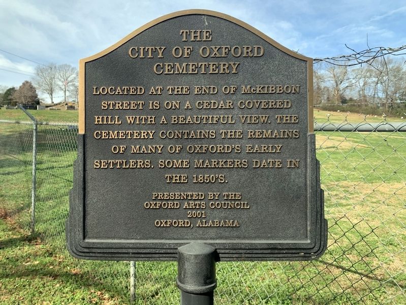
Photographed by Tim Fillmon, January 7, 2022
1. The City of Oxford Cemetery Marker
Erected 2001 by Oxford Arts Council.
Topics. This historical marker is listed in these topic lists: Cemeteries & Burial Sites • Settlements & Settlers.
Location. 33° 37.062′ N, 85° 50.356′ W. Marker is in Oxford, Alabama, in Calhoun County. It is on McKibbon Street 0.1 miles west of Ross Street, on the right when traveling west. Touch for map. Marker is in this post office area: Oxford AL 36203, United States of America. Touch for directions.

Regionally, this marker is in East Alabama. It is also in the American South and specifically in the Deep South. Globally, it is in North America, a Gulf of Mexico state, the Western Hemisphere, the Western World, and the Anglosphere. Historically, it finds itself in what was once the original Cherokee Nation, the territory of the Mississippian Culture, one of the Confederate States of America, and the Antebellum South.
this page online
Other nearby markers. At least 8 other markers are within 2 miles of this marker, measured as the crow flies: Town of Hobson City, Alabama (approx. ¼ mile away); Cooper-Pope House (approx. 0.3 miles away); Historic Oxford (approx. 0.3 miles away); Creek Indian Campaign Memorial (approx. 0.3 miles away); Simmons Park (approx. 0.3 miles away); Lick Skillet (approx. 0.6 miles away); George W. Ingram (approx. 1.4 miles away); John Tyler Morgan (approx. 1.4 miles away). Touch for a list and map of all markers in Oxford.
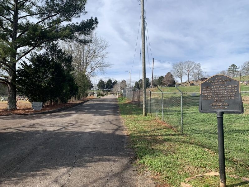
Photographed by Tim Fillmon, January 7, 2022
2. The City of Oxford Cemetery Marker looking west toward cemetery at end of road
Credits. This page was last revised on April 16, 2022. It was originally submitted on April 16, 2022, by Tim Fillmon of Webster, Florida. This page has been viewed 731 times since then and 52 times this year. Photos: 1, 2. submitted on April 16, 2022, by Tim Fillmon of Webster, Florida.
