Woollings Spur in Timiskaming District, Ontario — Central Canada (North America)
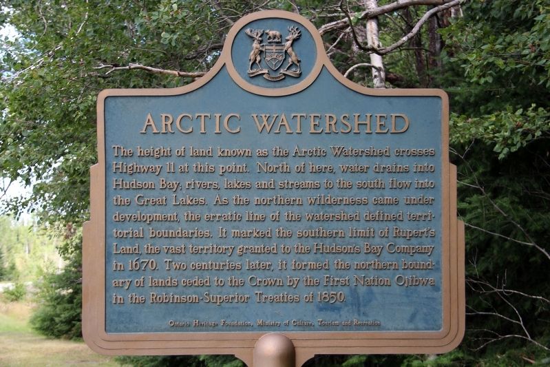
Arctic Watershed
Erected by Ontario Heritage Foundation, Ministry of Culture, Tourism and Recreation.
Topics and series. This historical marker is listed in these topic lists: Native Americans • Natural Features • Waterways & Vessels. In addition, it is included in the Canada, Ontario Heritage Foundation series list. A significant historical year for this entry is 1670.
Location. 48° 13.047′ N, 80° 15.413′ W. Marker is in Woollings Spur, Ontario, in Timiskaming District. Marker can be reached from Trans-Canada Highway (Provincial Highway 11) 0.8 kilometers north of Route 570, on the right when traveling north. Marker is on a side road accessible via a connection to the highway. Touch for map . Marker is in this post office area: Woollings Spur ON P0K 1S0, Canada. Touch for directions.
Other nearby markers. At least 1 other marker is within walking distance of this marker. Arctic Watershed / Le bassin versant de l'Arctique (here, next to this marker).

cmh2315fl via Flickr (CC BY-NC 2.0), August 9, 2017
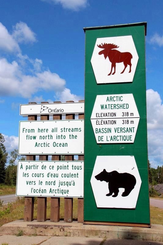
2. Arctic Watershed sign
It is on the Trans-Canada Highway (Ontario Highway 11) near the marker.
Credits. This page was last revised on April 22, 2022. It was originally submitted on April 19, 2022, by Duane and Tracy Marsteller of Murfreesboro, Tennessee. This page has been viewed 114 times since then and 16 times this year. Photos: 1, 2. submitted on April 19, 2022, by Duane and Tracy Marsteller of Murfreesboro, Tennessee.
Editor’s want-list for this marker. Wide shot of marker and surrounding area in context. • Can you help?
