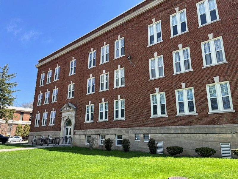
West Liberty in Ohio County, West Virginia — The American South (Appalachia)
Curtis Hall
Erected by West Liberty University.
Topics. This historical marker is listed in these topic lists: Education • Science & Medicine • War, US Civil. A significant historical year for this entry is 1929.
Location. 40° 9.865′ N, 80° 36.162′ W. Marker is in West Liberty, West Virginia, in Ohio County. Marker is on University Drive, 0.4 miles south of Van Meter Way (West Virginia Route 88), on the right when traveling south. Touch for map. Marker is at or near this postal address: 625 University Dr, Wheeling WV 26003, United States of America. Touch for directions.
Other nearby markers. At least 8 other markers are within 4 miles of this marker, measured as the crow flies. John F. Kennedy Address at West Liberty State College (about 300 feet away, measured in a direct line); McColloch Hall (about 300 feet away); Shotwell Hall (about 300 feet away); Raymond Van Montgomery Memorial (about 400 feet away); West Liberty (approx. 0.4 miles away); Revolutionary War Soldiers (approx. half a mile away); POW★MIA Memorial (approx. 0.6 miles away); Bethany / Bethany College (approx. 3.4 miles away). Touch for a list and map of all markers in West Liberty.
Credits. This page was last revised on April 24, 2022. It was originally submitted on April 24, 2022, by Devry Becker Jones of Washington, District of Columbia. This page has been viewed 121 times since then and 9 times this year. Photos: 1, 2. submitted on April 24, 2022, by Devry Becker Jones of Washington, District of Columbia.

