Carrizo Plain National Monument in San Luis Obispo County, California — The American West (Pacific Coastal)
Painted Rock
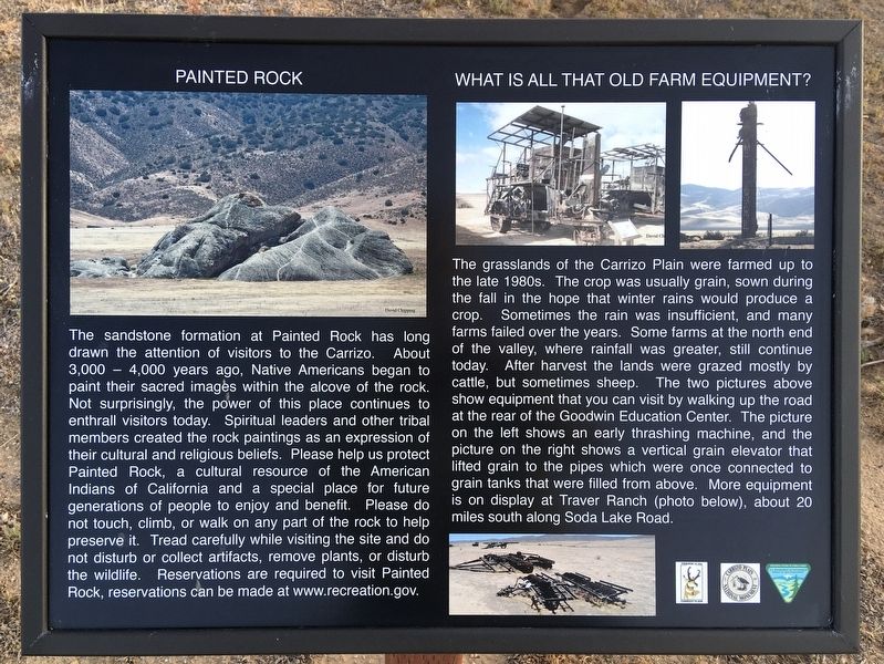
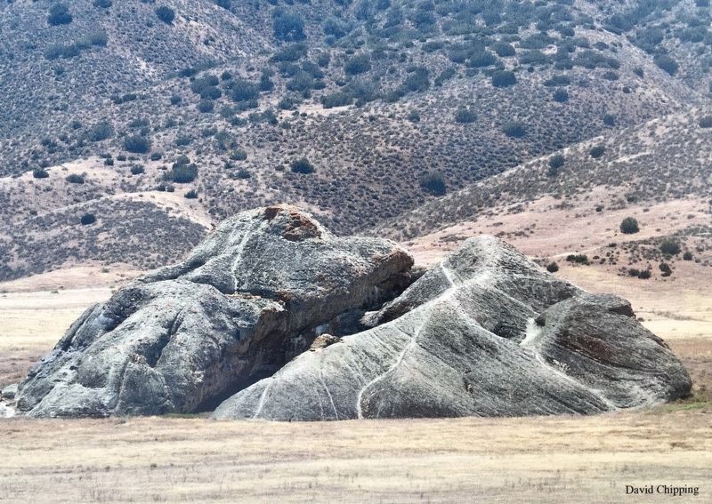
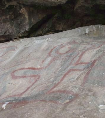
The sandstone formation at Painted Rock has long drawn the attention of visitors to the Carrizo. About 3,000 – 4,000 years ago, Native Americans began to paint their sacred images within the alcove of the rock. Not surprisingly, the power of this place continues to enthrall visitors today. Spiritual leaders and other tribal members created the rock paintings as an expression of their cultural and religious beliefs. Please help us protect Painted Rock, a cultural resource of the American Indians of California and a special place for future generations of people to enjoy and benefit. Please do not touch, climb, or walk on any part of the rock to help preserve it. Tread carefully while visiting the site and do not disturb or collect artifacts, remove plants, or disturb the wildlife. Reservations are required to visit Painted Rock, reservations can be made at www.recreation.gov.
Farm Equipment
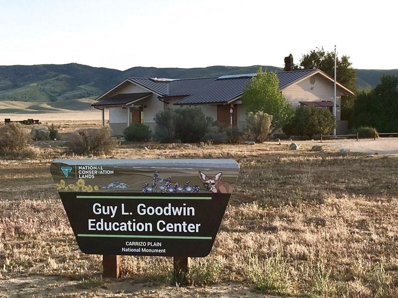
The grasslands of the Carrizo Plain were farmed up to the late 1980s. The crop was usually grain, sown during the fall in the hope that winter rains would produce a crop. Sometimes the rain was insufficient, and many farms failed over the years. Some farms at the north end of the valley, where rainfall was greater, still continue today. After harvest the lands were grazed mostly by cattle, but sometimes sheep. The two pictures above show equipment that you can visit by walking up the road at the rear of the Goodwin Education Center. The picture on the left shows an early thrashing machine, and the picture on the right shows a vertical grain elevator that lifted grain to the pipes which were once connected to grain tanks that were filled from above. More equipment is on display at Traver Ranch (photo below), about 20 miles south along Soda Lake Road.
A Continuing Legacy
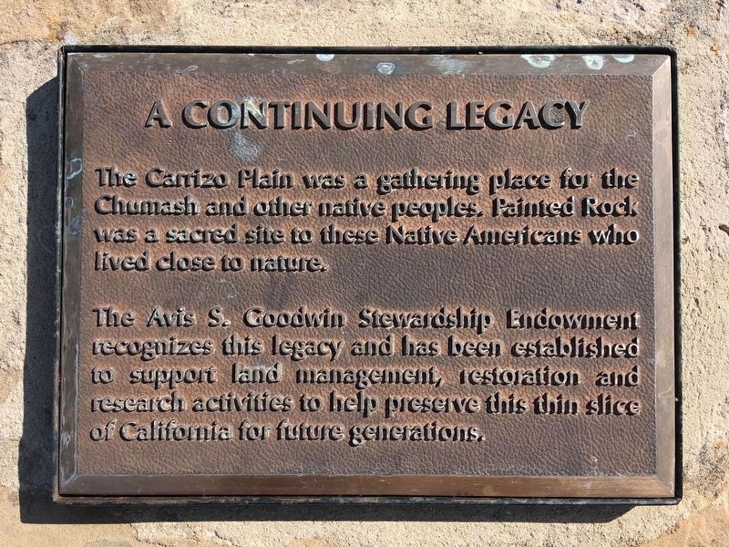
The Carrizo Plain was a gathering place for the Chumash and other native peoples. Painted Rock was a sacred site to these Native Americans who lived close to nature.
The Avis S. Goodwin Stewardship Endowment recognizes this legacy and has been established to support land management, restoration and research activities to help preserve this thin slice of California for future generations.
Erected by Friends of the Carrizo Plain, and Bureau of Land Management.
Topics. This historical marker is listed in these topic lists: Agriculture • Native Americans.
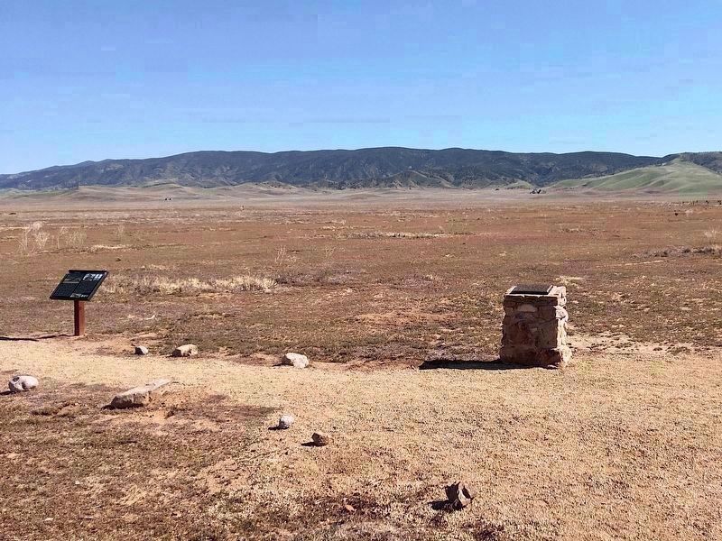
Location. 35° 11.382′ N, 119° 51.785′ W. Marker is in Carrizo Plain National Monument, California, in San Luis Obispo County. Marker can be reached from Soda Lake Road, one mile south of Simmler Road, on the right when traveling south. Located at the Goodwin Education Center visitor center. Touch for map. Marker is at or near this postal address: 17495 Soda Lake Rd, Santa Margarita CA 93453, United States of America. Touch for directions.
Other nearby markers. At least 7 other markers are within 6 miles of this marker, measured as the crow flies. Soda Lake (within shouting distance of this marker); Farming Carrizo (about 600 feet away, measured in a direct line); a different marker also named Painted Rock (approx. 2˝ miles away); a different marker also named Soda Lake (approx. 4.2 miles away); Goodwin Ranch (approx. 4.2 miles away); a different marker also named Soda Lake (approx. 4.3 miles away); Wallace Creek (approx. 6 miles away).
Also see . . . www.recreation.gov. Painted Rock Tours at Carrizo Plain National Monument must be arranged in advance. (Submitted on April 26, 2022.)
Credits. This page was last revised on October 25, 2023. It was originally submitted on April 26, 2022, by Craig Baker of Sylmar, California. This page has been viewed 201 times since then and 30 times this year. Photos: 1, 2, 3, 4. submitted on April 26, 2022, by Craig Baker of Sylmar, California. 5. submitted on October 18, 2023, by Denise Boose of Tehachapi, California. 6. submitted on April 26, 2022, by Craig Baker of Sylmar, California.
