Leesburg in Loudoun County, Virginia — The American South (Mid-Atlantic)
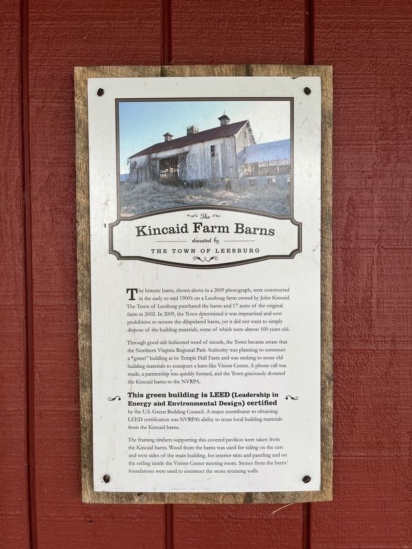
The Kincaid Farm Barns
donated by The Town of Leesburg
The historic barns, shown above in a 2009 photograph, were constructed in the early 1900's on a Leesburg farm owned by John Kincaid. The Town of Leesburg purchased the barns and 17 acres of the original farm in 2002. In 2009, the Town determined it was impractical and cost prohibitive to restore the dilapidated barns, yet it did not want to simply dispose of the building materials, some of which were almost 100 years old.
Through good old-fashioned word of mouth, the Town became aware that the Northern Virginia Regional Park Authority was planning to construct a "green" building at its Temple Hall Farm and was seeking to reuse old building materials to construct a barn-like Visitor Center. A phone call was made, a partnership was quickly formed, and the Town graciously donated the Kincaid barns to the NVRPA.
This green building is LEED (Leadership in Energy and Environmental Design) certified by the U.S. Green Building Council. A major contributor to obtaining LEED certification was NVRPA's ability to reuse local building materials from the Kincaid barns.
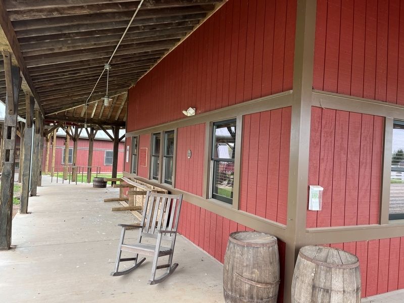
The framing timbers supporting this covered pavilion were taken from the Kincaid barns. Wood from the barns was used for siding on the east and west sides of the main building, for interior trim and paneling and on the ceiling inside the Visitor Center meeting room. Stones from the barns' foundations were used to construct the stone retaining walls.
Erected 2012 by NOVA Parks.
Topics and series. This historical marker is listed in these topic lists: African Americans • Environment • Notable Buildings • Parks & Recreational Areas. In addition, it is included in the NOVA Parks series list. A significant historical year for this entry is 2009.
Location. 39° 10.754′ N, 77° 31.688′ W. Marker is in Leesburg, Virginia, in Loudoun County. Marker is on Temple Hall Lane, 0.3 miles north of Limestone School Road (Virginia Route 661), on the left when traveling north. Touch for map. Marker is at or near this postal address: 15777 Temple Hall Ln, Leesburg VA 20176, United States of America. Touch for directions.
Other nearby markers. At least 8 other markers are within 2 miles of this marker, measured as the crow flies. Enslaved Workers at Temple Hall Farm (a few steps from this marker); Welcome to Temple Hall Farm Regional Park (a few steps from this marker); Conditions of the Enslaved at Temple Hall Farm (a few steps from this marker); This Is Temple Hall! (a few steps from this marker); 1862 Antietam Campaign (approx. 1.7 miles away in Maryland); White’s Ferry (approx. 1.7 miles away in Maryland); Gettysburg Campaign

Photographed By Devry Becker Jones (CC0), May 1, 2022
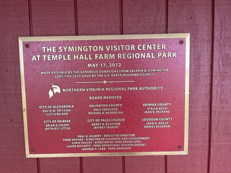
3. Dedication plaque for the Symington Visitor Center
Credits. This page was last revised on May 1, 2022. It was originally submitted on May 1, 2022, by Devry Becker Jones of Washington, District of Columbia. This page has been viewed 192 times since then and 21 times this year. Photos: 1, 2, 3. submitted on May 1, 2022, by Devry Becker Jones of Washington, District of Columbia.

