Sioux Falls in Minnehaha County, South Dakota — The American Midwest (Upper Plains)
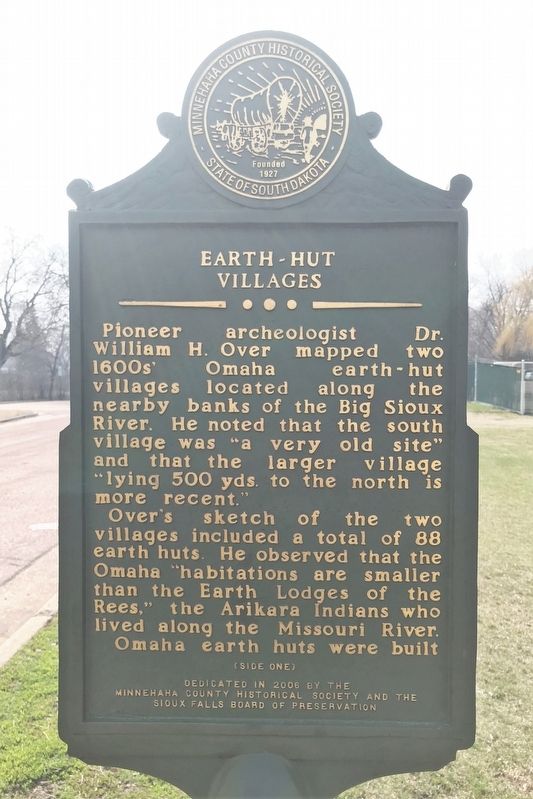
Earth-Hut Villages
Over's sketch of the two villages included a total of 88 earth huts. He observed that the Omaha "habitations are smaller than the Earth Lodges of the Rees," the Arikara Indians who lived along the Missouri River.
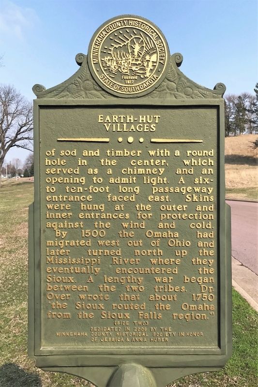
Omaha earth huts were built of sod and timber with a round hole in the center, which served as a chimney and an opening to admit light. A six- to ten-foot long passageway entrance faced east. Skins were hung at the outer and inner entrances for protection against the wind and cold.
By 1500 the Omaha had migrated west out of Ohio and later turned north up the Mississippi River where they eventually encountered the Sioux. A lengthy war began between the two tribes. Dr. Over wrote that about 1750 'the Sioux routed the Omaha from the Sioux Falls region."
Erected 2006 by the Minnehaha County Historical Society and the Sioux Falls Board of Preservation in honor of Jessica & Anna Huber.
Topics. This historical marker is listed in these topic lists: Anthropology & Archaeology • Architecture • Native Americans. A significant historical year for this entry is 1500.
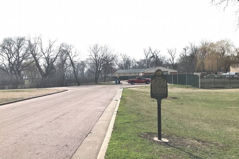
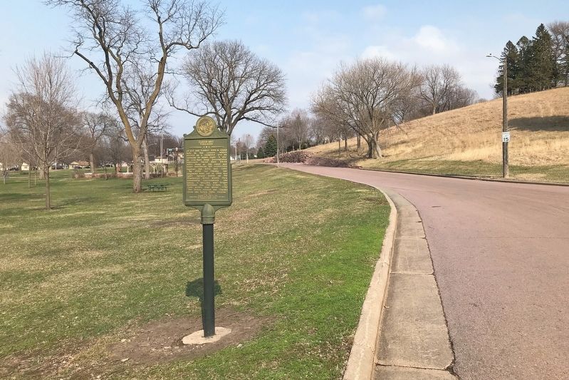
Location. 43° 32.157′ N, 96° 45.821′ W. Marker is in Sioux Falls, South Dakota, in Minnehaha County. Marker is on West Indian Mound Place, 0.1 miles west of South Kiwanis Avenue, on the right when traveling west. Located in Sherman Park, south of the Great Plains Zoo in Sioux Falls. Touch for map. Marker is at or near this postal address: 2900 W Indian Mound Pl, Sioux Falls SD 57105, United States of America. Touch for directions.
Other nearby markers. At least 8 other markers are within walking distance of this marker. 500 A.D. Copper Knife (within shouting distance of this marker); Sherman Park (about 400 feet away, measured in a direct line); The Fifth Mound (about 400 feet away); Sherman Centennial Plaza (about 400 feet away); E. A. Sherman (about 400 feet away); Ceremonial Dance Circle (about 600 feet away); Linear Mound (about 700 feet away); Sherman Park Indian Burial Mounds (about 700 feet away). Touch for a list and map of all markers in Sioux Falls.
Credits. This page was last revised on May 6, 2022. It was originally submitted on May 5, 2022. This page has been viewed 195 times since then and 10 times this year. Photos: 1, 2, 3, 4. submitted on May 5, 2022.


