Near Clifton in Fairfax County, Virginia — The American South (Mid-Atlantic)
This Is Fountainhead!
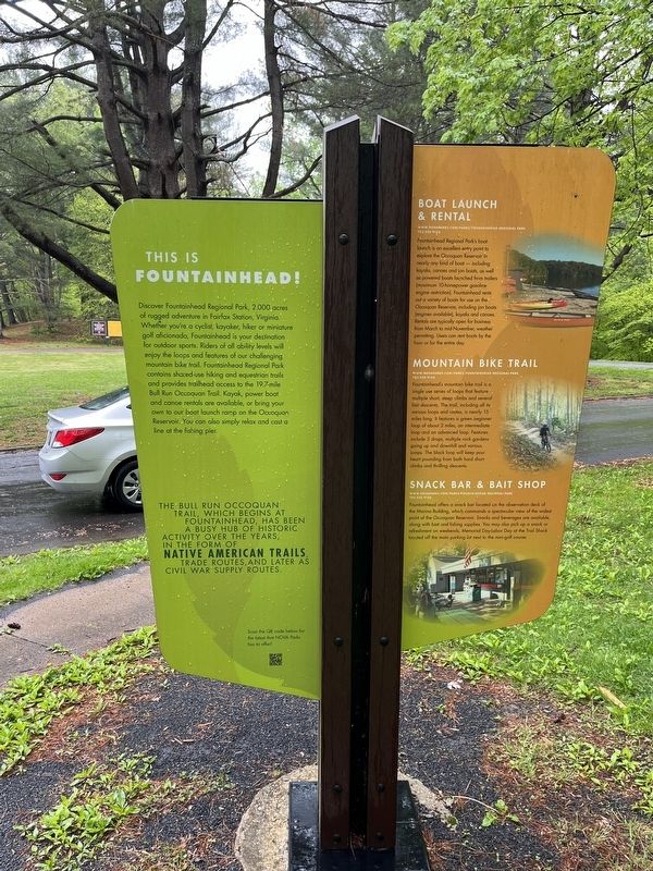
Discover Fountainhead Regional Park, 2,000 acres of rugged adventure in Fairfax Station, Virginia. Whether you're a cyclist, kayaker, hiker or miniature golf aficionado, Fountainhead is your destination for outdoor sports. Riders of all ability levels will enjoy the loops and features of our challenging mountain bike trail. Fountainhead Regional Park contains shared-use hiking and equestrian trails and provides trailhead access to the 19.7-mile Bull Run Occoquan Trail. Kayak, power boat and canoe rentals are available, or bring your own to our boat launch ramp on the Occoquan Reservoir. You can also simply relax and cast a line at the fishing pier.
The Bull Run Occoquon Trail, which begins at Fountainhead, has been a busy hub of historic activity over the years in the form of Native American trails, trade routes, and later as Civil War supply routes.
Erected by NOVA Parks.
Topics and series. This historical marker is listed in these topic lists: Industry & Commerce • Native Americans • Roads & Vehicles • War, US Civil. In addition, it is included in the NOVA Parks series list.
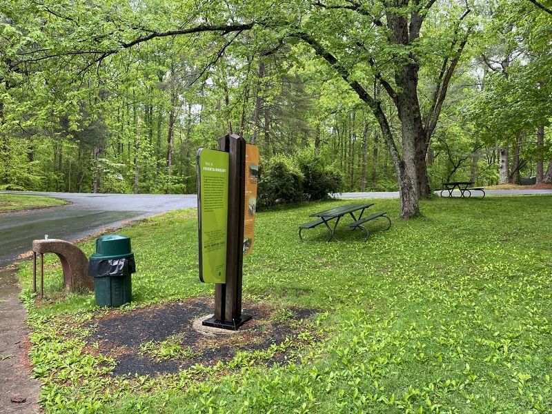
Location. 38° 43.433′ N, 77° 19.834′ W. Marker is near Clifton , Virginia, in Fairfax County. Marker is on Outlet, 0.7 miles west of Hampton Road, on the right. Touch for map. Marker is at or near this postal address: 10875 Hampton Rd, Fairfax Station VA 22039, United States of America. Touch for directions.
Other nearby markers. At least 8 other markers are within 3 miles of this marker, measured as the crow flies. Wolf Run Shoals (approx. 1.6 miles away); Washington-Rochambeau Wagon Route (approx. 1.7 miles away); Selecman’s (Snyder’s) Ford (approx. 2.8 miles away); Bacon Race Church and Cemetery (approx. 2.8 miles away); Military Operations (approx. 2.8 miles away); Bacon Race Church (approx. 2.8 miles away); Woodbridge Airport (approx. 2.9 miles away); Oak Grove - Bacon Race Church (approx. 2.9 miles away).
More about this marker. The additional panels, which feature no historical information have not been transcribed.
Credits. This page was last revised on May 7, 2022. It was originally submitted on May 7, 2022, by Devry Becker Jones of Washington, District of Columbia. This page has been viewed 248 times since then and 22 times this year. Photos: 1, 2, 3. submitted on May 7, 2022, by Devry Becker Jones of Washington, District of Columbia.

![This Is Fountainhead! Marker [Reverse]. Click for full size. This Is Fountainhead! Marker [Reverse] image. Click for full size.](Photos6/653/Photo653847.jpg?572022101200PM)
