Sioux Falls in Minnehaha County, South Dakota — The American Midwest (Upper Plains)
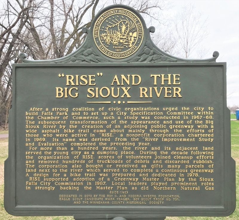
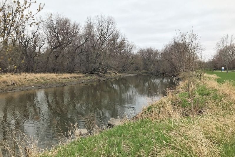
"RISE" and the Big Sioux River
For more than a hundred years, the river and its adjacent land served the young city as a dumping place. During the decade following the organization of RISE, scores of volunteers joined cleanup efforts and removed hundreds of truckloads of debris and discarded rubbish. The corporation also bought or received as gifts many parcels of land next to the river which served to complete a continuous greenway. A design for a bike trail was prepared and dedicated in 1978.
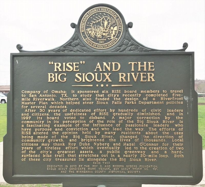
RISE supported adoption of a Greenway Master Plan by the Sioux Falls City Commission in 1987. Local leaders played prominent roles in strongly backing the Master Plan as did Northern Natural Gas Company of Omaha; it sponsored six RISE board members to travel to San Antonio, TX, to study that city's recently completed five-mile Riverwalk. Northern also funded the design of a Riverfront Master Plan which helped steer Sioux Falls Parks Department policies for several decades.
After 30 years of dedicated effort by hundreds of civic leaders and citizens, the usefulness of RISE gradually diminished, and in 1997 its board voted to disband. A major correction by the community in its perception of the role of the Big Sioux River is a fascinating example of the influence of passionate leaders who have purpose and conviction and who lead the way. The efforts of RISE altered the opinion held by many residents about the uses being made of the Big Sioux River, changed the direction of community growth, and brightened the lives of thousands. Local citizens may thank Roy Duke Nyberg and Hazel O'Connor for their years of tireless effort which eventually led to the creation of two of the city's greatest assets, a public greenway and a hard-surfaced bike trail that stretches out in a nearly 20-mile loop. Both of these city treasures lie alongside the Big Sioux River.
Erected 2010 by the Roy D. and Rodora Nyberg Foundation, Eagle Scout Candidate Mark Yeager, Boy Scout Troop No. 731, and the Minnehaha County Historical Society.
Topics. This historical marker is listed in these topic lists: Charity & Public Work • Parks & Recreational Areas • Waterways & Vessels. A significant historical year for this entry is 1967.
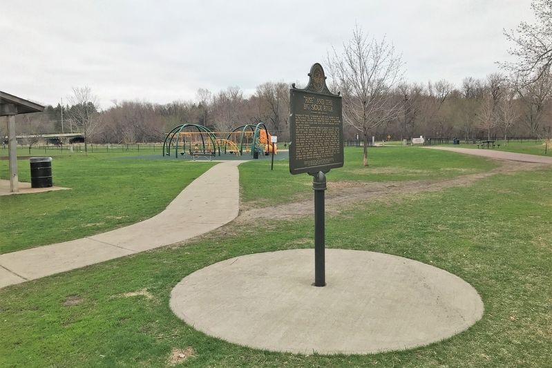
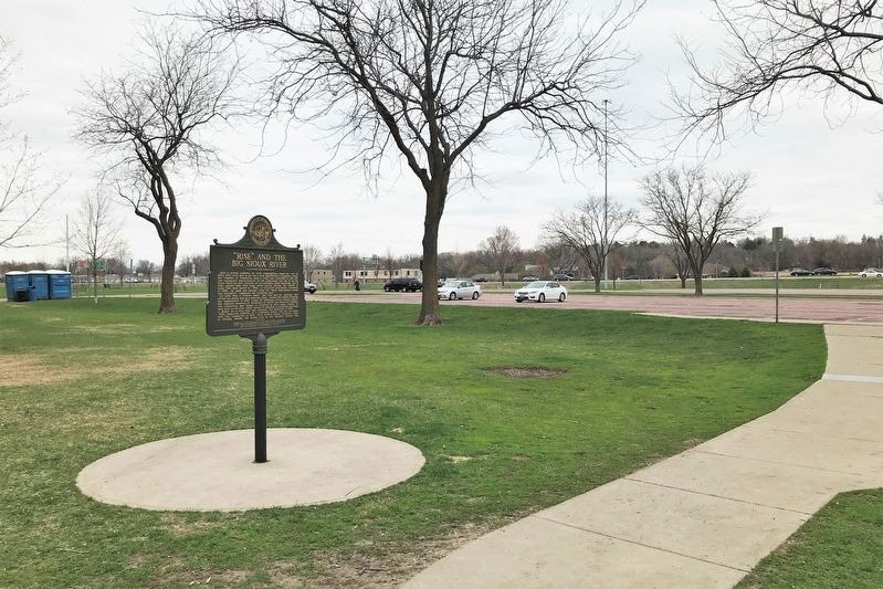
Location. 43° 30.759′ N, 96° 42.873′ W. Marker is in Sioux Falls, South Dakota, in Minnehaha County. Marker can be reached from South Cliff Avenue, 0.2 miles south of East 41st Street, on the right when traveling south. Located in Spencer Park, just south of the parking lot. Touch for map. Marker is at or near this postal address: 3501 S Cliff Ave, Sioux Falls SD 57105, United States of America. Touch for directions.
Other nearby markers. At least 8 other markers are within 2 miles of this marker, measured as the crow flies. Birthplace of the Modern Hot Air Balloon (approx. 0.3 miles away); Patrick Henry (approx. 0.9 miles away); Sioux Falls Municipal Band (approx. 1.3 miles away); Helen Gale McKennan (approx. 1.3 miles away); The Playgrounds & Baseball Field (approx. 1.3 miles away); The McKennan Park Pond & Wading Pool (approx. 1.4 miles away); The Formal Gardens, Caretaker's Lodge & Greenhouse (approx. 1.4 miles away); McKennan Park World War I Memorial (approx. 1.4 miles away). Touch for a list and map of all markers in Sioux Falls.
Credits. This page was last revised on May 8, 2022. It was originally submitted on May 8, 2022. This page has been viewed 172 times since then and 45 times this year. Photos: 1, 2, 3, 4, 5. submitted on May 8, 2022.
