Old Town in Alexandria, Virginia — The American South (Mid-Atlantic)
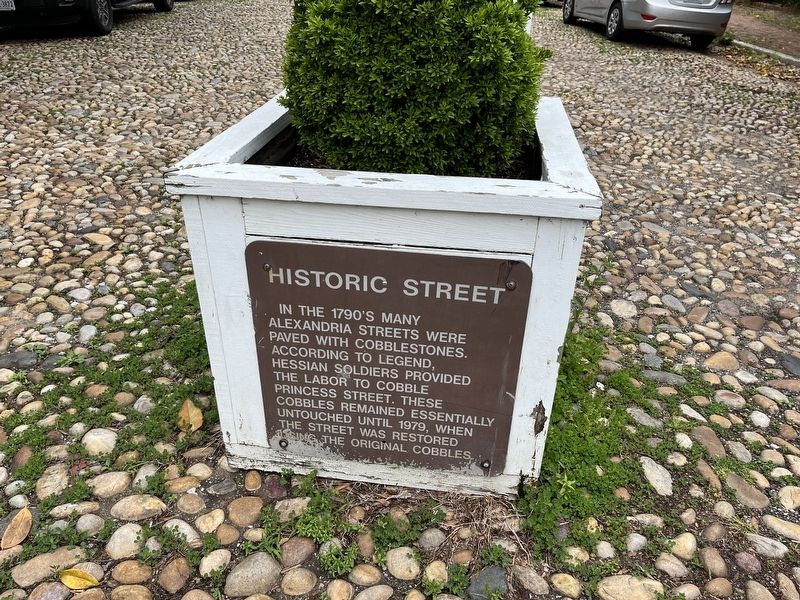
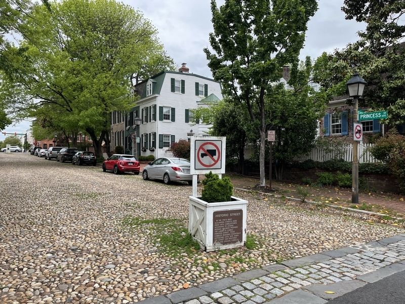
Historic Street
Topics. This historical marker is listed in these topic lists: Colonial Era • Roads & Vehicles. A significant historical year for this entry is 1979.
Location. 38° 48.501′ N, 77° 2.712′ W. Marker is in Alexandria, Virginia. It is in Old Town. Marker is at the intersection of Princess Street and North St. Asaph Street, in the median on Princess Street. Touch for map. Marker is at or near this postal address: 600 Princess St, Alexandria VA 22314, United States of America. Touch for directions.
Other nearby markers. At least 8 other markers are within walking distance of this marker. City Jail: A Site of Racial Terror in Alexandria (a few steps from this marker); a different marker also named Historic Street (within shouting distance of this marker); Grosvenor Hospital (about 400 feet away, measured in a direct line); Potts-Fitzhugh-Lee House (about 500 feet away); Lee-Fendall House (about 500 feet away); a different marker also named Lee-Fendall House (about 500 feet away); Alexandria Library Sit-In (about 500 feet away); Washington-Rochambeau Route (about 500 feet away). Touch for a list and map of all markers in Alexandria.
Related marker. Click here for another marker that is related to this marker. An identical marker can be seen on the other end of the block.
Credits. This page was last revised on January 28, 2023. It was originally submitted on May 8, 2022, by Devry Becker Jones of Washington, District of Columbia. This page has been viewed 111 times since then and 24 times this year. Photos: 1, 2. submitted on May 8, 2022, by Devry Becker Jones of Washington, District of Columbia.

