Near Angelus Oaks in San Bernardino County, California — The American West (Pacific Coastal)
Jenks Lake
Harnessing the Mountain Water
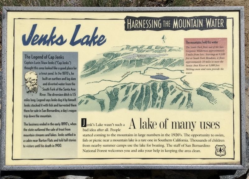
The Legend of Cap Jenks
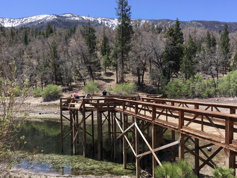
Captain Lorin Shaw Jenks ("Cap Jenks") thought this area looked like a good place for a trout pond. In the 1870's, he built an earthen and log dam and diverted water from the South Fork of the Santa Ana River. The diversion ditch is 1.5 miles long. Legend says Jenks dug it by himself. Jenks stocked it with fish and harvested them for sale in San Bernardino, a day's wagon trip down the mountain.
The business ended in the early 1890's, when the state outlawed the sale of trout from mountain streams and lakes. Jenks settled in a cabin near Barton Flats and told tall stories to visitors until his death in 1900.
The Mountains Hold the Water
The South Fork flows out of the San Gorgonio Wilderness approximately 3 miles from here. Starting at 9,100 feet at South Fork Meadows, it flows approximately 10 miles to meet the Santa Ana River at 5,000 feet. Melting snow and rain provide the water.
A Lake of Many Uses
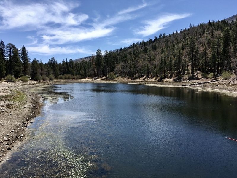
Jenk's Lake wasn't such a bad idea after all. People started coming to the mountains in large numbers in the 1920's. The opportunity to swim, fish or picnic near a mountain lake is a rare one in Southern California. Thousands of children from nearby summer camps use the lake for boating. The staff of San Bernardino National Forest welcomes you and asks your help in keeping the area clean.
Erected by U.S. Forest Service.
Topics. This historical marker is listed in these topic lists: Industry & Commerce • Parks & Recreational Areas • Waterways & Vessels. A significant historical year for this entry is 1900.
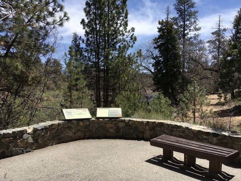
Location. 34° 9.896′ N, 116° 53.059′ W. Marker is near Angelus Oaks, California, in San Bernardino County. Marker can be reached from Road 1N79, half a mile north of Jenks Lake Road. Located near the Jenks Lake Day Use Area parking lot, along the paved path to the lake. Touch for map. Marker is at or near this postal address: 41050 CA-38, Angelus Oaks CA 92305, United States of America. Touch for directions.
Other nearby markers. At least 8 other markers are within 8 miles of this marker, measured as the crow flies. Whispering Pines Trail (approx. 1.6 miles away); Grizzly Come Home Campaign (approx. 5.1 miles away); Champion Lodgepole Pine (approx. 6.3 miles away); Big Bear Valley (approx. 6.8 miles away); Big Bear Solar Observatory (approx. 7 miles away); Woodland Club Caddy Shack (approx. 7.3 miles away); Holcomb Valley (approx. 7.3 miles away); Main Museum Building (approx. 7.3 miles away).
Credits. This page was last revised on September 29, 2022. It was originally submitted on May 9, 2022, by Craig Baker of Sylmar, California. This page has been viewed 722 times since then and 55 times this year. Photos: 1, 2, 3, 4, 5, 6, 7. submitted on May 9, 2022, by Craig Baker of Sylmar, California.
