Mableton in Cobb County, Georgia — The American South (South Atlantic)
Well
— Mable House —
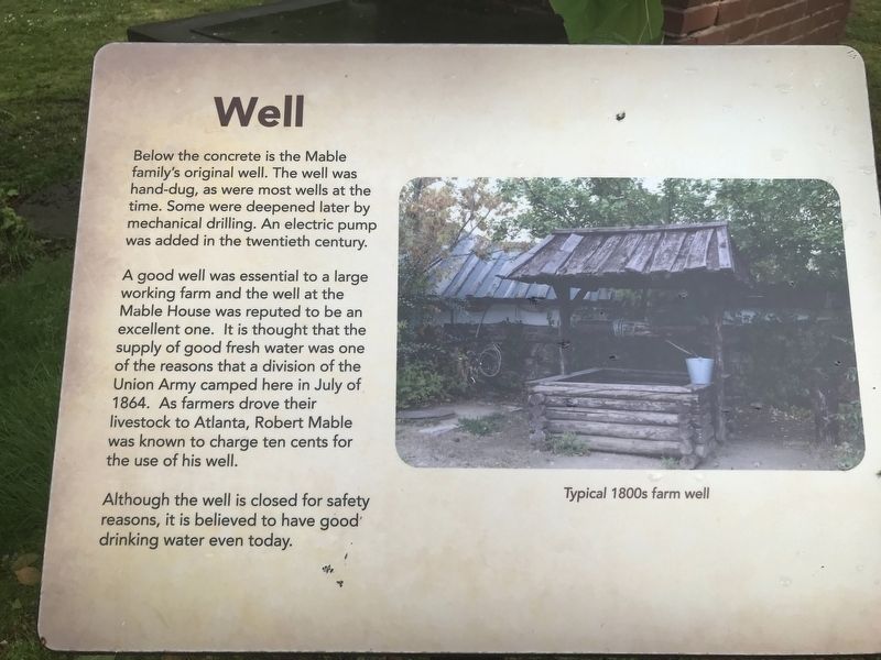
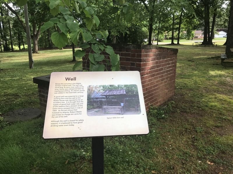
A good well was essential to a large working farm and the well at the Mable House was reputed to be an excellent one. It is thought that the supply of good fresh water was one of the reasons that a division of the Union Army camped here in July of 1864. As farmers drove their livestock to Atlanta, Robert Mable was known to charge ten cents for the use of his well.
Although the well is closed for safety reasons, it is believed to have good drinking water even today.
[Caption] Typical 1800s farm well
Topics. This historical marker is listed in these topic lists: Industry & Commerce • War, US Civil • Waterways & Vessels. A significant historical month for this entry is July 1864.
Location. 33° 49.632′ N, 84° 34.509′ W. Marker is in Mableton, Georgia, in Cobb County. Marker can be reached from Floyd Road Southwest, 0.1 miles north of Maran Lane Southwest, on the right when traveling north. Touch for map. Marker is at or near this postal address: 5239 Floyd Rd SW, Mableton GA 30126, United States of America. Touch for directions.
Other nearby markers. At least 8 other markers are within walking distance of this marker. Kitchen House (a few steps from this marker); Historic House (a few steps from this marker); Hearthstone (a few steps from this marker); Blacksmith Shop (within shouting distance of this marker); The Mable House (within shouting distance of this marker); Smokehouse (within shouting distance of this marker); Corn Crib (within shouting distance of this marker); Sweet Potato House (within shouting distance of this marker). Touch for a list and map of all markers in Mableton.
Credits. This page was last revised on May 10, 2022. It was originally submitted on May 10, 2022, by Duane and Tracy Marsteller of Murfreesboro, Tennessee. This page has been viewed 92 times since then and 10 times this year. Photos: 1, 2. submitted on May 10, 2022, by Duane and Tracy Marsteller of Murfreesboro, Tennessee.

