Near Westfield in Lewis County, West Virginia — The American South (Appalachia)
Blaker's Mill Pond
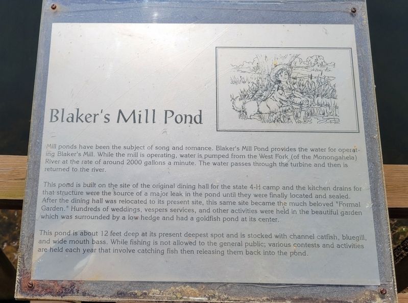
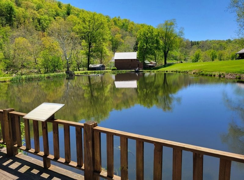
Mill ponds have been the subject of song and romance. Blaker's Mill Pond provides the water for operating Blaker's Mill. While the mill is operating, water is pumped from the West Fork (of the Monongahela) River at the rate of around 2000 gallons a minute. The water passes through the turbine and then is returned to the river.
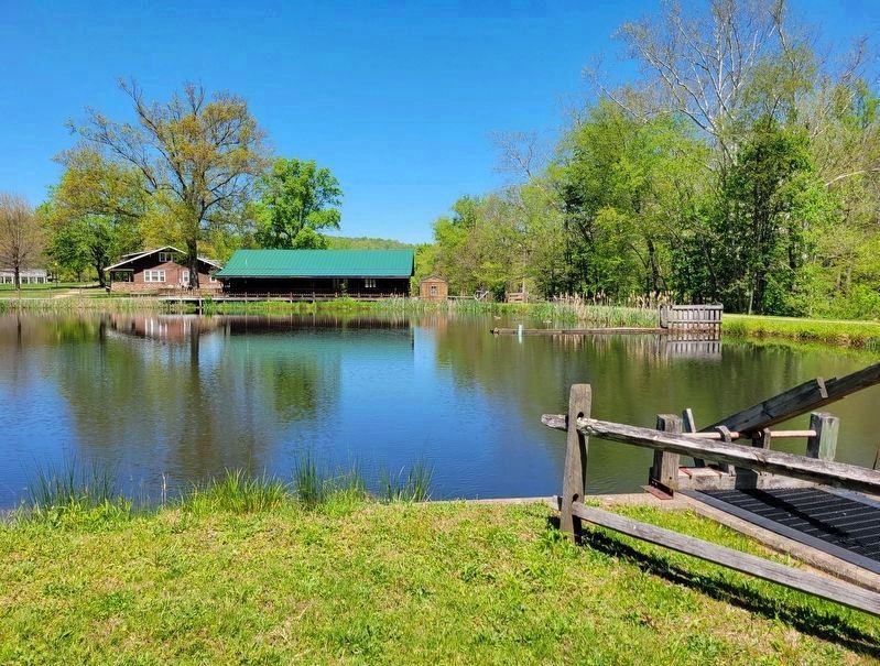
This pond is built on the site of the original dining hall for the state 4-H camp and the kitchen drains for that structure were the source of a major leak in the pond until they were finally located and sealed. After the dining hall was relocated to its present site, this same site became the much beloved "Formal Garden." Hundreds of weddings, vespers services, and other activities were held in the beautiful garden which was surrounded by a low hedge and had a goldfish pond at its center.
This pond is about 12 feet deep at its present deepest spot and is stocked with channel catfish, bluegill, and wide mouth bass. While fishing is not allowed to the general public; various contests and activities are held each year that involve catching fish then releasing them back into the pond.
Topics. This historical marker is listed in these topic lists: Industry & Commerce • Parks & Recreational Areas • Waterways & Vessels. A significant historical year for this entry is 2000.
Location. 39° 5.835′ N, 80° 28.043′ W. Marker is near Westfield, West Virginia, in Lewis County. Marker can be reached from Jackson Mill Road (County Road 10) 0.3 miles west of Sycamore Lick Road (County Road 10), on the right when traveling west. The marker is located on the southern deck of the Mountain State Building within Jackson's Mill Historic Area. Touch for map. Marker is at or near this postal address: 160 Jackson Mill Road, Jane Lew WV 26378, United States of America. Touch for directions.
Other nearby markers. At least 8 other markers are within walking distance of this marker. McWhorter Cabin (within shouting distance of this marker); Welcome (about 300 feet away, measured in a direct line); Jackson’s Mill (about 300 feet away); The Heritage Garden (about 300 feet away); Mary Conrad Cabin (about 300 feet away); Blaker's Mill (about 300 feet away); Blacksmith Shop (about 300 feet away); Cummins Jackson House (about 400 feet away).
Credits. This page was last revised on May 12, 2022. It was originally submitted on May 12, 2022, by Bradley Owen of Morgantown, West Virginia. This page has been viewed 85 times since then and 11 times this year. Photos: 1, 2, 3. submitted on May 12, 2022, by Bradley Owen of Morgantown, West Virginia. • Devry Becker Jones was the editor who published this page.


