
Whittier in Jackson County, North Carolina — The American South (South Atlantic)
William H. Thomas
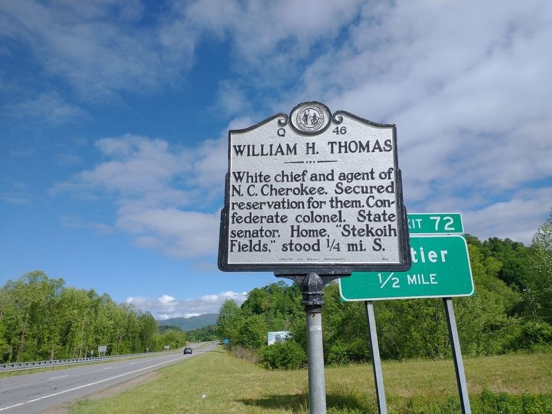
Photographed by Tom Bosse, May 13, 2022
1. William H. Thomas Marker
Erected 1959 by Archives and Highway Departments. (Marker Number Q-46.)
Topics and series. This historical marker is listed in these topic lists: Government & Politics • Indigenous Peoples and Communities • Settlements & Settlers • War, US Civil. In addition, it is included in the North Carolina Division of Archives and History series list.
Location. 35° 25.471′ N, 83° 20.938′ W. Marker is in Whittier, North Carolina, in Jackson County. It is on Henry Bird Road (U.S. 74) west of U.S. 441, on the right when traveling east. Marker located 1/2 mile east of Exit 72. Touch for map. Marker is at or near this postal address: 61 Henry Bird Rd, Whittier NC 28789, United States of America. Touch for directions.

Regionally, this marker is in North Carolina’s and he Mountains in the Golden Corner. It is also in the American South, specifically in the Upper South, in Appalachia, and specifically in Southern Appalachia.
this page online
Other nearby markers. At least 8 other markers are within 5 miles of this marker, measured as the crow flies: William Holland Thomas (approx. 2.4 miles away); Cherokee Indian Reservation / (Leaving) Cherokee Reservation (approx. 2.6 miles away); Kituwah (approx. 3.2 miles away); Yonaguska (approx. 3.4 miles away); Thomas's Legion (approx. 3.7 miles away); Nimrod Jarrett Smith (approx. 4.4 miles away); Cherokee Veterans Park (approx. 4.4 miles away); Long Hair Clan (approx. 4.4 miles away).
Also see . . . William Holland Thomas. (Submitted on May 16, 2022, by Tom Bosse of Jefferson City, Tennessee.)
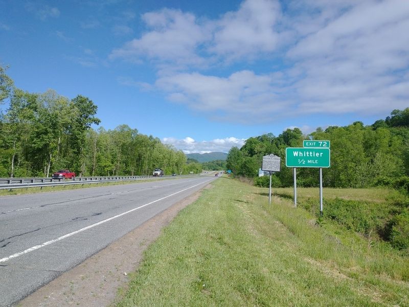
Photographed by Tom Bosse, May 13, 2022
2. William H. Thomas Marker
Credits. This page was last revised on May 16, 2022. It was originally submitted on May 16, 2022, by Tom Bosse of Jefferson City, Tennessee. This page has been viewed 881 times since then and 76 times this year. Photos: 1, 2. submitted on May 16, 2022, by Tom Bosse of Jefferson City, Tennessee. • Devry Becker Jones was the editor who published this page.
