Austinville in Wythe County, Virginia — The American South (Mid-Atlantic)
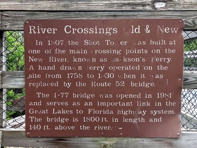
River Crossing Old & New
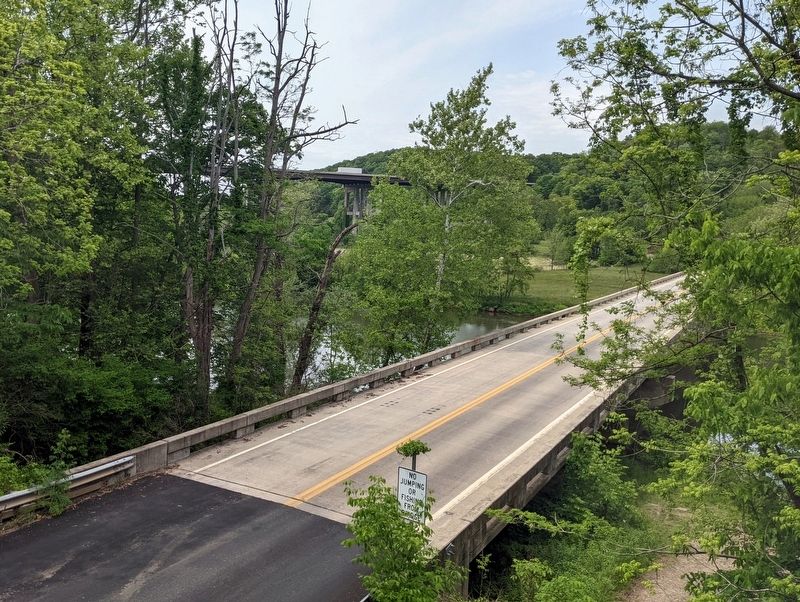
The I-77 bridge was opened in 1981 and serves as an important link in the Great Lakes to Florida highygay system. The bridge is 1800 ft. in length and 140 ft. above the river.
Topics. This historical marker is listed in these topic lists: Bridges & Viaducts • Industry & Commerce • Roads & Vehicles • Waterways & Vessels. A significant historical year for this entry is 1758.
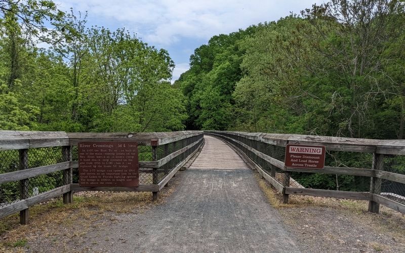
Location. 36° 52.234′ N, 80° 52.124′ W. Marker is in Austinville, Virginia, in Wythe County. Marker can be reached from Virginia Route 623 west of Foster Falls Road (Virginia Route 608), on the left when traveling west. Located along the New River Trail at the US-52 crossing between the Foster Falls Trailhead to the north and the Austinville Trailhead to the south. Touch for map. Marker is in this post office area: Austinville VA 24312, United States of America. Touch for directions.
Other nearby markers. At least 8 other markers are within 2 miles of this marker, measured as the crow flies. Jackson's Ferry (within shouting distance of this marker); Shot Tower Historical State Park (about 500 feet away, measured in a direct line); History of the Shot Tower (about 500 feet away); Shot Tower at Jackson's Ferry (about 500 feet away); Jackson’s Ferry and Shot Tower (approx. 0.2 miles away); The New River (approx. half a mile away); a different marker also named New River (approx. 0.7 miles away); Railroad Depot (approx. 1.2 miles away). Touch for a list and map of all markers in Austinville.
Also see . . . New River Trail State Park. Virginia Department of Conservation & Recreation (Submitted on May 18, 2022.)
Credits. This page was last revised on May 18, 2022. It was originally submitted on May 18, 2022, by Bernard Fisher of Richmond, Virginia. This page has been viewed 198 times since then and 43 times this year. Photos: 1, 2, 3. submitted on May 18, 2022, by Bernard Fisher of Richmond, Virginia.


