Binghamton in Broome County, New York — The American Northeast (Mid-Atlantic)
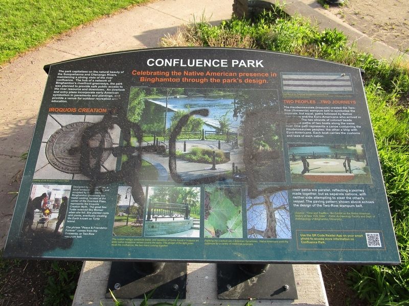
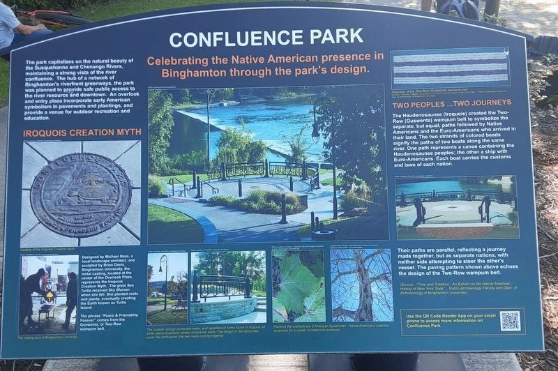
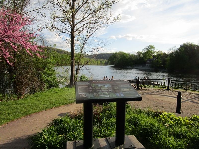
Confluence Park
Celebrating the Native American presence in Binghamton through the park's design
Iroquois Creation Myth. Designed by Michael Haas, a local landscape architect, and sculpted by Brian Davis, Binghamton University, the metal casting, located at the center of the Overlook Plaza, represents the Iroquois Creation Myth. The great sea Turtle received Sky Woman when she fell. She planted roots and plants, eventually creating the Earth known as Turtle Island.
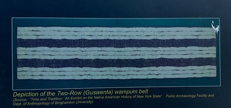
The phrase "Peace and Friendship Forever" comes from the Guswenta, or Two-Row wampum belt.
Two Peoples...Two Journeys. The Haudenosaunee (Iroquois) created the Two-Row (Guswenta) wampum belt to symbolize the separate, but equal, paths followed by Native Americans and the Euro-Americans who arrived in [illegible]. The two strands of colored beads signify the paths of two boats along the same river. One path represents a canoe containing the Haudenosaunee peoples; the other a ship with Euro-Americans. Each boat carries the customs and laws of each nation.
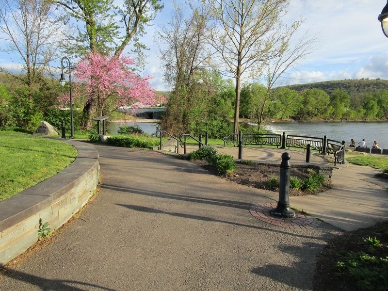
Their paths are parallel, reflecting a journey made together, but as separate nations, with neither side attempting to steer the other's vessel. The paving pattern shown above echoes the design of the Two-Row wampum belt.
Topics. This historical marker is listed in these topic lists: Native Americans • Parks & Recreational Areas.
Location. 42° 5.576′ N, 75° 54.966′ W. Marker is in Binghamton, New York, in Broome County. Marker can be reached from the intersection of North Shore Drive and Water Street. Touch for map. Marker is in this post office area: Binghamton NY 13901, United States of America. Touch for directions.
Other nearby markers. At least 8 other markers are within walking distance of this marker. 1st N.Y. and 108th Ambulance Co's Memorial (within shouting distance of this marker); a different marker also named Confluence Park (within shouting distance of this marker); Chenango Canal (within shouting distance of this marker); Near This Point 18 August 1779 (within shouting distance of this marker); Men of Broome (within shouting distance of this marker); The Skirmisher (about 300 feet away, measured in a direct line); Dedicated to the Memory (about 700 feet away); Routes of the Armies of General John Sullivan and General James Clinton (about 700 feet away). Touch for a list and map of all markers in Binghamton.
Credits. This page was last revised on October 7, 2023. It was originally submitted on May 19, 2022, by Anton Schwarzmueller of Wilson, New York. This page has been viewed 403 times since then and 31 times this year. Photos: 1. submitted on May 19, 2022, by Anton Schwarzmueller of Wilson, New York. 2, 3, 4. submitted on October 1, 2023, by Scott J. Payne of Deposit, New York. 5, 6. submitted on May 19, 2022, by Anton Schwarzmueller of Wilson, New York.
