Near Tamassee in Oconee County, South Carolina — The American South (South Atlantic)
Cheowee Town
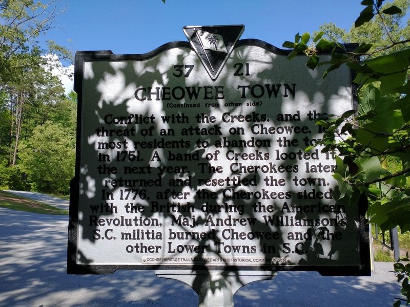
(front)
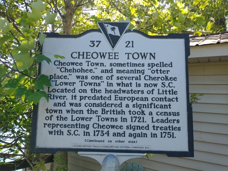
Cheowee Town, sometimes spelled “Chehohee,” and meaning “otter place,” was one of several Cherokee “Lower Towns” in what is now S.C. Located on the headwaters of Little River, it predated European contact and was considered a significant town when the British took a census of the Lower Towns in 1721. Leaders representing Cheowee signed treaties with S.C. in 1734 and again in 1751.
Erected 2014 by Oconee County Arts and Historical Commission. (Marker Number 37-21.)
Topics. This historical marker is listed in these topic lists: Colonial Era • Native Americans • War, US Revolutionary. A significant historical year for this entry is 1721.
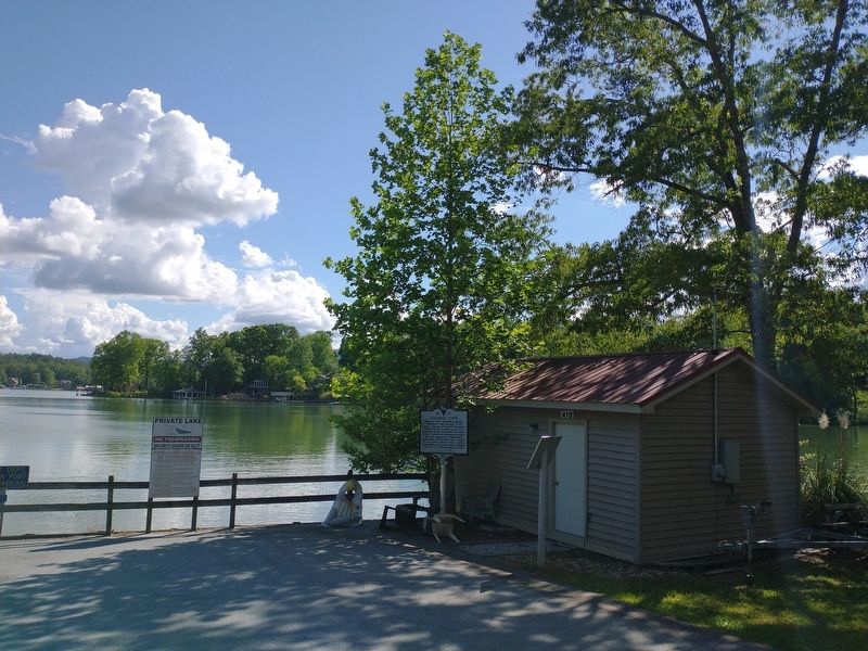
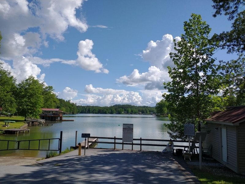
Location. 34° 54.85′ N, 83° 3.631′ W. Marker is near Tamassee, South Carolina, in Oconee County. Marker is on Robin Way, 0.1 miles west of Cherokee Lake Road, on the left when traveling west. Touch for map. Marker is at or near this postal address: 419 Robin Way, Tamassee SC 29686, United States of America. Touch for directions.
Other nearby markers. At least 8 other markers are within 4 miles of this marker, measured as the crow flies. Tamassee Town (approx. 2.3 miles away); Tamassee DAR School (approx. 3.1 miles away); Josephine C. Peters — West Virginia Cottage (approx. 3.2 miles away); Texas Friendship Cottage (approx. 3.2 miles away); Indian Trail and Thong Tree (approx. 3.2 miles away); a different marker also named Tamassee DAR School (approx. 3.2 miles away); May Erwin Talmadge Auditorium/Gymnasium (approx. 3.2 miles away); In Memory of George R. Ryder (approx. 3.3 miles away). Touch for a list and map of all markers in Tamassee.
Credits. This page was last revised on May 20, 2022. It was originally submitted on May 20, 2022, by Tom Bosse of Jefferson City, Tennessee. This page has been viewed 254 times since then and 41 times this year. Photos: 1, 2, 3, 4. submitted on May 20, 2022, by Tom Bosse of Jefferson City, Tennessee. • Bernard Fisher was the editor who published this page.


