Gilroy in Santa Clara County, California — The American West (Pacific Coastal)
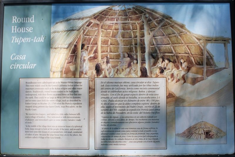
Round House
Tupen-tak
| — | Casa circular | — |
Photographed by Joseph Alvarado, April 17, 2022
1. Round House Marker

Roundhouses were called tupen-tak in the Mutsun Ohlone language. They were widely used by the Central California Indian tribes for important ceremonies such as the Kuksu religion and other major dances. Traditionally, round houses tended to be built partly underground, with their floors excavated three or four feet into the earth. They could be as large as 80 to 100 feet in diameter, and in some cases held the entire village, such as described by Father Crespi on October 23, 1769 when the Portola expedition stopped along present day Gazos Creek, near Pescadero, on the Pacific Coast:
”We traveled two leagues…and halted in a little valley between hills near a village of heathen,…They welcomed us with demonstrations of pleasure, and immediately gave us some pinoles (tamales) made of seeds…”
In the middle of the village there was an immense house of a spherical form, large enough to hold all the people of the town, and around it there were some little houses of a pyramidal form, very small, constructed of stakes of pine. Because the large house rose above the others, the soldiers called it Village of the Casa Grande…”
”Viajamos dos leguas…y nos detuvimos en un vallecito rodeado por colinas, cercano a una aldea de herejes. Nos recibieron con muestras de alegría e inmediatemente nos ofrecieron algunos pinoles (tamales) hechos de semillas…”
“Al centro de la aldea se veía una inmensa casa de forma esférica, lo suficientemente grande como para contener a todo el pueblo y a su alrededor estaban unas casitas en forma de pirámide, muy pequeñas, construídas de ramas de pino. Como la casa principal sobrepasaba a todas las demás, los soldados llamaron al sitio Aldea de la Casa Grande…”
La estructura fue descrita como “…una casa grande con el techo de pasto, redonda como media naranja.”
Topics.
this page online
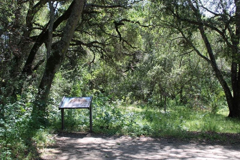
Location. 37° 1.745′ N, 121° 39.408′ W. Marker is in Gilroy, California, in Santa Clara County. It can be reached from Watsonville Road (County Road G8) south of Burchell Road, on the right when traveling south. The marker is mounted to a metal stand on the trail below the parking lot, at the southern end of Chitactac-Adams Heritage County Park. Touch for map. Marker is at or near this postal address: 10001 Watsonville Road, Gilroy CA 95020, United States of America. Touch for directions.

Regionally, this marker is in California’s San Francisco Bay Area and on the Coast Ranges. It is also on the American Pacific Coast. Globally, it is in North America, on the Ring of Fire, on the Pacific Rim, in the Western Hemisphere, in the Western World, and in the Anglosphere. Historically, it finds itself in what was once New Spain and also Mexico’s Alta California.
Other nearby markers. At least 8 other markers are
Photographed by Joseph Alvarado, April 17, 2022
2. Round House Marker
Also see . . . Chitactac-Adams Heritage County Park.
"This beautiful and culturally significant 4.5 acre park site is located just minutes from the cities of Gilroy and Morgan Hill."(Submitted on May 23, 2022, by Joseph Alvarado of Livermore, California.)
Credits. This page was last revised on May 24, 2022. It was originally submitted on May 23, 2022, by Joseph Alvarado of Livermore, California. This page has been viewed 1,527 times since then and 52 times this year. Photos: 1, 2. submitted on May 23, 2022, by Joseph Alvarado of Livermore, California. • Devry Becker Jones was the editor who published this page.
