Sault Ste. Marie in Algoma District, Ontario — Central Canada (North America)
Why Preserve This Big Hunk of Steel?
⎯⎯⎯
Pourquoi préserver cette énorme structure d'acier?
cmh2315fl via Flickr (CC BY-NC 2.0), August 4, 2011
1. Why Preserve This Big Hunk of Steel? / Pourquoi préserver cette énorme structure d'acier?> Marker
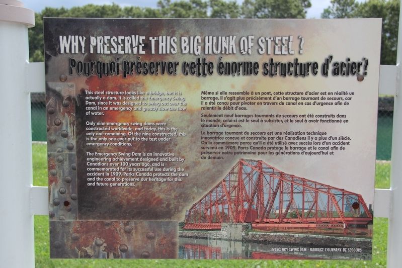
The Emergency Swing Dam is an innovative engineering achievement designed and built by Canadians over 100 years ago, and is commemorated for its successful use during the accident in 1909. Parks Canada protects the dam and the canal to preserve our heritage for this and future generations.
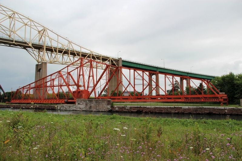
[Francais] Même si elle ressemble à un pont, cette structure d'acier est en réalité un barrage. Il s'agit plus précisément d'un barrage tournant de secours, car il a été conçu pour pivoter en travers du canal en cas d'urgence afin de ralentir le débit d'eau.
Seulement neuf barrages tournants de secours ont été construits dans le monde; celui-ci est le seul à subsister, et le seul à avoir fonctionné en situation d'urgence.
Le
this page online
Topics. This historical marker is listed in these topic lists: Man-Made Features • Waterways & Vessels. A significant historical year for this entry is 1909.
Location. 46° 30.797′ N, 84° 21.396′ W. Marker is in Sault Ste. Marie, Ontario, in Algoma District. It is on Canal Drive 1.1 kilometers west of Huron Street, on the left when traveling west. Touch for map. Marker is in this post office area: Sault Ste Marie ON P6A 6W4, Canada. Touch for directions.

Regionally, this marker is in the Sault Ste. Marie and Algoma Area and in Northern Ontario. It is also in Central Canada. Globally, it is in North America, in the Great North Woods, on the Great Lakes, on Lake Superior’s North Shore, in the Western Hemisphere, in the Western World, and in the Anglosphere. Historically,
Fungus Guy via Wikimedia Commons (CC BY-SA 3.0), March 12, 2010
2. Why Preserve This Big Hunk of Steel? / Pourquoi préserver cette énorme structure d'acier? Marker
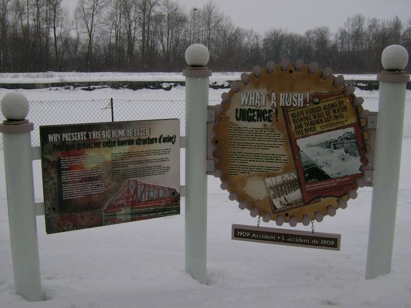
Featured marker is on the left.
Other nearby markers. At least 8 other markers are within walking distance of this marker: The Dam in Action! / Le barrage à l'œuvre! (here, next to this marker); What a Rush! / Urgence! (here, next to this marker); The Last Emergency Swing Dam in the World! / Le dernier barrage tournant de secours au monde! (within shouting distance of this marker); Emergency Swing Bridge Dam / Barrage tournant de secours (about 90 meters away, measured in a direct line); The "Chicora" Incident (about 150 meters away); Canadian Veterans Memorial (about 150 meters away); CPR Passenger Ships in the Lock / Paquebots de la CFCP dans l'écluse (approx. 0.3 kilometers away); 1622 (approx. 0.4 kilometers away). Touch for a list and map of all markers in Sault Ste. Marie.
Don Harrison (reproduced from original) (CC BY-NC-ND 2.0)
3. 1909 Sault Ste. Marie Dam Accident
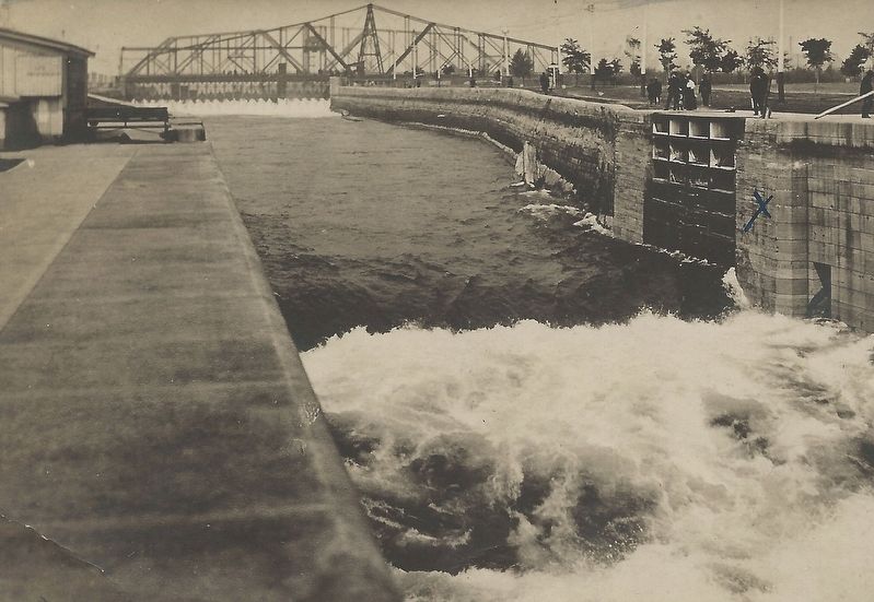
The Emergency Swing Dam (background) allowed workers to close off the surging water and make repairs.
Credits. This page was last revised on May 23, 2022. It was originally submitted on May 23, 2022, by Duane and Tracy Marsteller of Murfreesboro, Tennessee. This page has been viewed 228 times since then and 25 times this year. Photos: 1, 2, 3, 4. submitted on May 23, 2022, by Duane and Tracy Marsteller of Murfreesboro, Tennessee.
