De Witt in Carroll County, Missouri — The American Midwest (Upper Plains)
Trail of Death
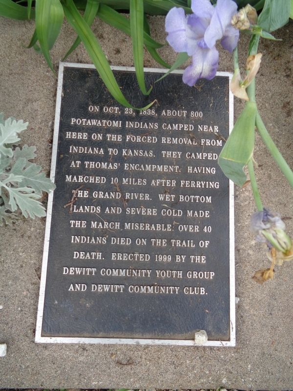
Photographed by Jason Voigt, May 23, 2022
1. Trail of Death Marker
Erected 1999 by Dewitt Community Youth Group and Dewitt Community Club.
Topics and series. This historical marker is listed in these topic lists: Indigenous Peoples and Communities • Waterways & Vessels. In addition, it is included in the Potawatomi Trail of Death series list. A significant historical date for this entry is October 23, 1838.
Location. 39° 23.073′ N, 93° 13.285′ W. Marker is in De Witt, Missouri, in Carroll County. It is on Jefferson Street east of 7th Street. Marker is at the De Witt Community Club Park. Touch for map. Marker is at or near this postal address: 700 Madison St, De Witt MO 64639, United States of America. Touch for directions.

Regionally, this marker is in North Missouri and specifically in the Missouri River Corridor. It is also in the American Midwest, in the Lewis & Clark Corridor, and
this page online
Other nearby markers. At least 5 other markers are within 14 miles of this marker, measured as the crow flies: Fort Orleans (here, next to this marker); a different marker also named Fort Orleans (a few steps from this marker); a different marker also named Trail of Death (approx. 5.4 miles away); "World's Largest Pecan" (approx. 5½ miles away); Replica of The Statue of Liberty (approx. 14 miles away).
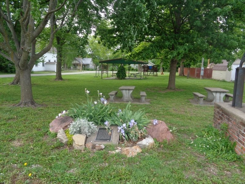
Photographed by Jason Voigt, May 23, 2022
2. Trail of Death Marker
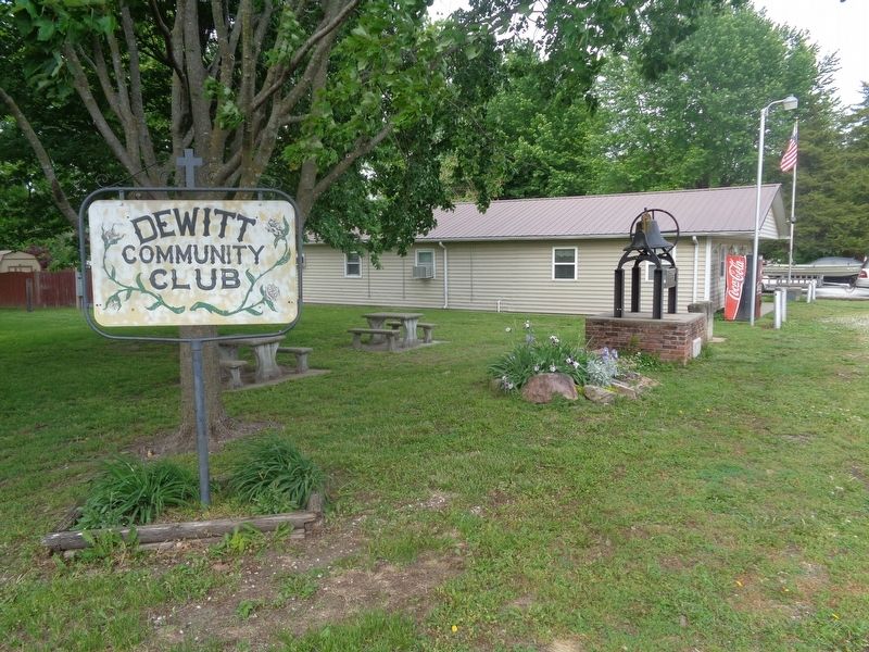
Photographed by Jason Voigt, May 23, 2022
3. Trail of Death Marker
Marker is located at De Witt Community Club park
Credits. This page was last revised on November 21, 2024. It was originally submitted on May 23, 2022, by Jason Voigt of Glen Carbon, Illinois. This page has been viewed 378 times since then and 25 times this year. Photos: 1, 2, 3. submitted on May 23, 2022, by Jason Voigt of Glen Carbon, Illinois.
