Lewes & Rehoboth Hundred in Rehoboth Beach in Sussex County, Delaware — The American Northeast (Mid-Atlantic)
Traveling to the Beach
Rehoboth Beach
| — | Beach Blast Facts | — |
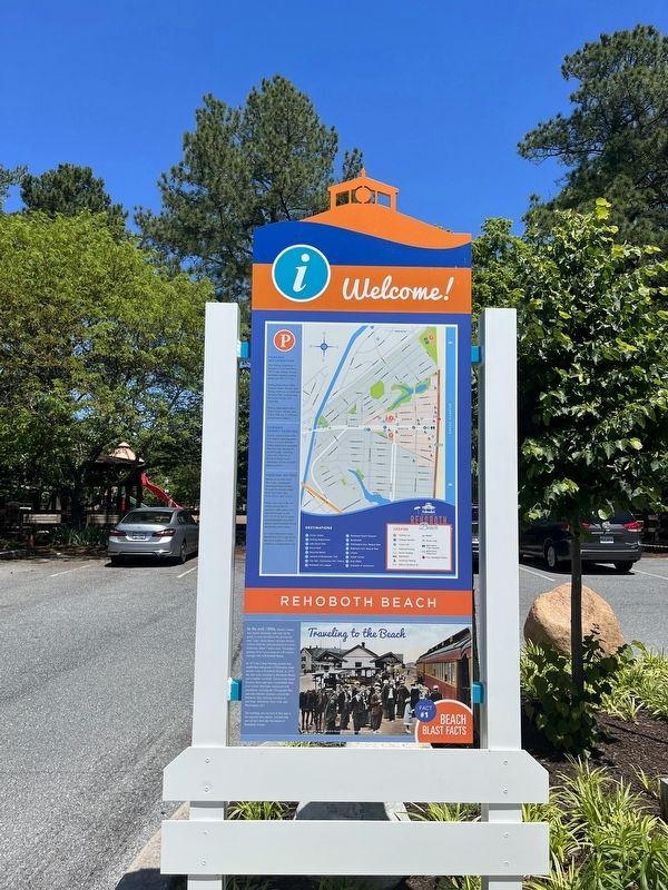
In the mid-1800s, Sussex County was mostly farmland, and carts led by goats or oxen traveled to the downtown area. Later, horse-drawn carriages ferried visitors from the railroad station in Lewes, Delaware, about 7 miles away. Passengers getting off in Lewes enjoyed a 45-minute carriage ride to Rehoboth Beach.
In 1873 the Camp Meeting ground was established, and groups of Methodists made annual visits to Rehoboth Beach. In 1878, the rails were extended to Rehoboth Beach, and a station was built. Travel to the beach became faster and more comfortable than ever before. Rail lines connected with steamboats crossing the Chesapeake Bay, and side-wheeler steamers crossed the Delaware Bay carrying travelers to and from Baltimore, New York, and Washington, D.C.
The building you see next to this sign is the original train station, restored and moved here from the first block of Rehoboth Avenue.
Erected 2022 by The City of Rehoboth Beach, Delaware. (Marker Number 1.)
Topics. This historical marker is listed in these topic lists: Railroads & Streetcars • Religion & Religious Structures • Roads & Vehicles
this page online
Location. 38° 42.898′ N, 75° 5.515′ W. Marker is in Rehoboth Beach, Delaware, in Sussex County. It is in Lewes & Rehoboth Hundred. It can be reached from Rehoboth Avenue (Delaware Route 1A) just west of Columbia Avenue, on the right when traveling west. Touch for map. Marker is at or near this postal address: 501 Rehoboth Ave, Rehoboth Beach DE 19971, United States of America. Touch for directions.

Regionally, this marker is on Delaware’s Beaches. It is also in the American Mid-Atlantic, on the Delmarva Peninsula, and on the Eastern Seaboard. Globally, it is in the North Atlantic Region, North America, the Western Hemisphere, the Western World, and the Anglosphere. Historically, it finds itself in what was once New Netherland, one of the original Thirteen Colonies, and the Antebellum South.
Other nearby markers. At least 8 other markers are within walking distance of this marker: History of the Canal (within shouting distance of this marker); Recreation and Tourism (within shouting distance of this marker); Commerce and the Canal (within shouting
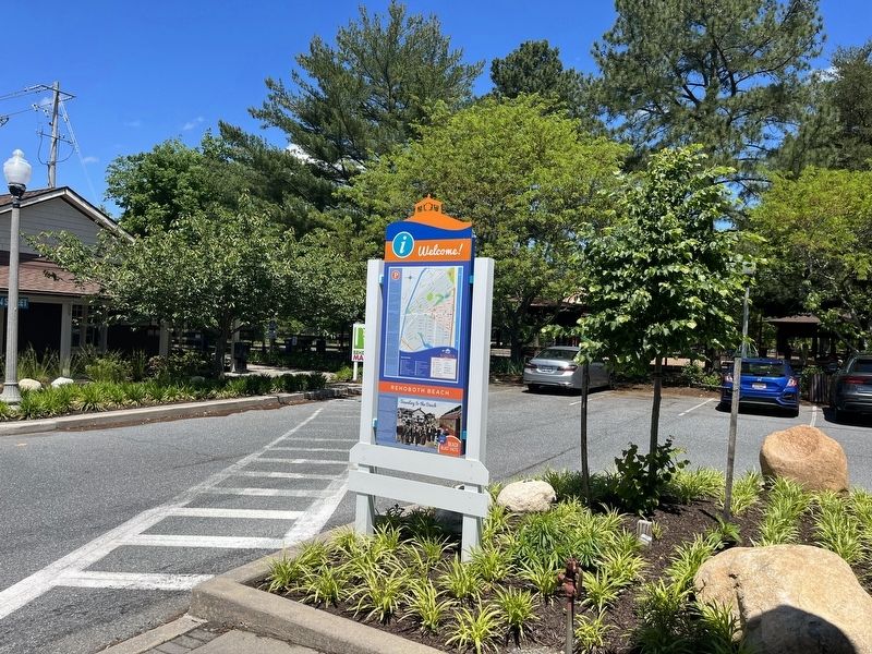
Credits. This page was last revised on June 5, 2026. It was originally submitted on May 29, 2022, by Devry Becker Jones of Washington, District of Columbia. This page has been viewed 215 times since then and 16 times this year. Photos: 1, 2. submitted on May 29, 2022, by Devry Becker Jones of Washington, District of Columbia.
Editor’s want-list for this marker. A photo of the train station • Can you help?
