Lewes & Rehoboth Hundred in Rehoboth Beach in Sussex County, Delaware — The American Northeast (Mid-Atlantic)
History of the Canal
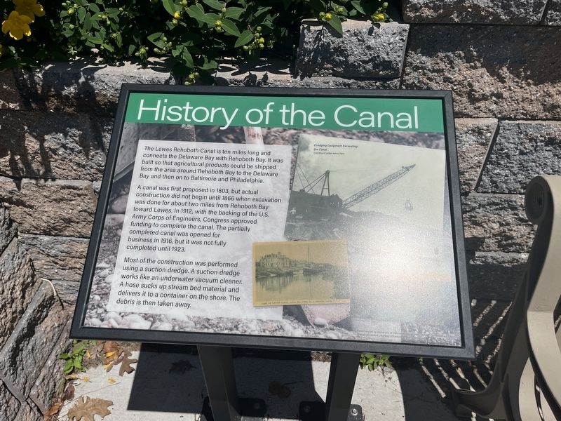
The Lewes Rehoboth Canal is ten miles long and connects the Delaware Bay with Rehoboth Bay. It was built so that agricultural products could be shipped from the area around Rehoboth Bay to the Delaware Bay and then on to Baltimore and Philadelphia.
A canal was first proposed in 1803, but actual construction did not begin until 1866 when excavation was done for about two miles from Rehoboth Bay toward Lewes. In 1912, with the backing of the U.S. Army Corps of Engineers, Congress approved funding to complete the canal. The partially complete canal was opened for business in 1916, but it was not fully completed until 1923.
Most of the construction was performed using a suction dredge. A suction dredge works like an underwater vacuum cleaner. A hose sucks up stream bed material and delivers it to a container on the shore. The debris is then taken away.
Erected 2020 by University of Delaware, Sustainable Coastal Communities Initiative; historical content courtesy of Rehoboth Beach Museum.
Topics and series. This historical marker is listed in these topic lists: Agriculture • Industry & Commerce •
this page online
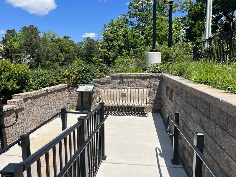
Location. 38° 42.894′ N, 75° 5.551′ W. Marker is in Rehoboth Beach, Delaware, in Sussex County. It is in Lewes & Rehoboth Hundred. It can be reached from the intersection of Rehoboth Avenue (Delaware Route 1A) and Canal Street, on the right when traveling west. Touch for map. Marker is at or near this postal address: 511 Rehoboth Ave, Rehoboth Beach DE 19971, United States of America. Touch for directions.

Regionally, this marker is on Delaware’s Beaches. It is also in the American Mid-Atlantic, on the Delmarva Peninsula, and on the Eastern Seaboard. Globally, it is in the North Atlantic Region, North America, the Western Hemisphere, the Western World, and the Anglosphere. Historically, it finds itself in what was once New Netherland, one of the original Thirteen Colonies, and the Antebellum South.
Other nearby markers. At least 8 other markers are within walking distance of this marker: Commerce and the Canal (a few steps from this marker); Recreation and Tourism (within shouting distance
Credits. This page was last revised on June 5, 2026. It was originally submitted on May 29, 2022, by Devry Becker Jones of Washington, District of Columbia. This page has been viewed 343 times since then and 62 times this year. Photos: 1, 2. submitted on May 29, 2022, by Devry Becker Jones of Washington, District of Columbia.
