Gallatin in Sumner County, Tennessee — The American South (East South Central)
Asher's Trace
| — | Fairvue Plantation | — |
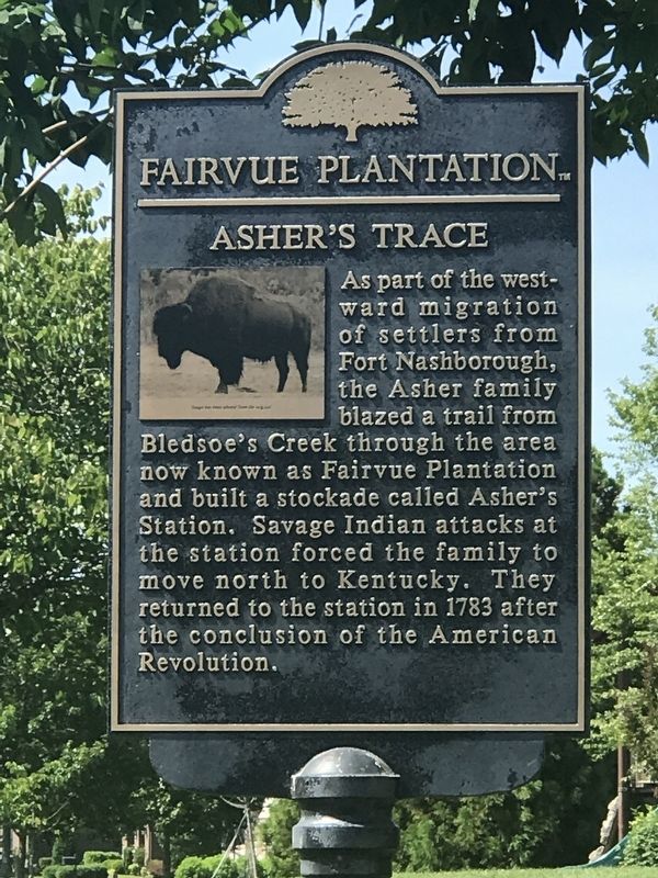
Photographed by Duane and Tracy Marsteller, May 29, 2022
1. Asher's Trace Marker
Erected 2014 by Fairvue Plantation Ladies Historical Society.
Topics. This historical marker is listed in these topic lists: Colonial Era • Settlements & Settlers. A significant historical year for this entry is 1783.
Location. 36° 21.009′ N, 86° 30.131′ W. Marker is in Gallatin, Tennessee, in Sumner County. It is at the intersection of Kelvington Boulevard and Baxter Lane, on the left when traveling east on Kelvington Boulevard. Touch for map. Marker is in this post office area: Gallatin TN 37066, United States of America. Touch for directions.

Regionally, this marker is in Middle Tennessee and in Greater Nashville. It is also in the American South and specifically in the Upper South. Globally, it is in North America, the Western
this page online
Other nearby markers. At least 8 other markers are within one mile of this marker, measured as the crow flies: Mare Barns (approx. ¼ mile away); Grasslands (approx. 0.3 miles away); Fairvue Plantation (approx. 0.4 miles away); Fairvue Mansion (approx. 0.6 miles away); Ellen Stokes More Wemyss (approx. 0.6 miles away); Blacksmith Shop (approx. 0.7 miles away); Volunteer State Community College (approx. 0.9 miles away); Isaac Franklin (approx. one mile away). Touch for a list and map of all markers in Gallatin.
Related markers. Click here for a list of markers that are related to this marker.
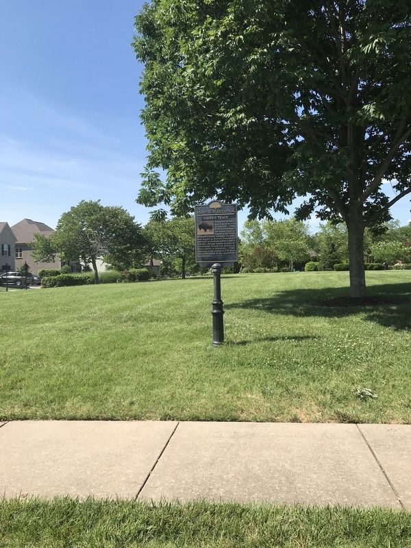
Photographed by Duane and Tracy Marsteller, May 29, 2022
2. Asher's Trace Marker
Credits. This page was last revised on May 30, 2022. It was originally submitted on May 30, 2022, by Duane and Tracy Marsteller of Murfreesboro, Tennessee. This page has been viewed 1,158 times since then and 130 times this year. Photos: 1, 2. submitted on May 30, 2022, by Duane and Tracy Marsteller of Murfreesboro, Tennessee.
