The Enclave in Atlanta in Fulton County, Georgia — The American South (South Atlantic)
Mt. Gilead M. E. Church
Organized 1824
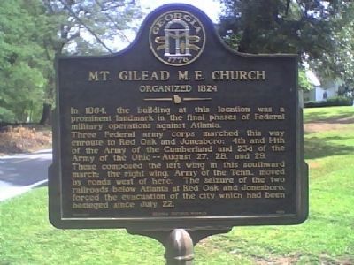
Photographed by Stanley and Terrie Howard, June 12, 2009
1. Mt. Gilead M. E. Church Marker
Three Federal army corps marched this way enroute to Red Oak and Jonesboro; 4th and 14th of the Army of Cumberland and 23d of the Army of Ohio--August 27, 28, and 29.
These composed the left wing in this southward march; the right wing. Army of the Tenn.. moved by roads west of here. The seizure of the two railroads below Atlanta at Red Oak and Jonesboro, forced the evacuation of the city which had been besieged since July 22
Erected 2006 by Georgia Historical Society. (Marker Number 060-167.)
Topics and series. This historical marker is listed in this topic list: War, US Civil. In addition, it is included in the Georgia Historical Society series list. A significant historical year for this entry is 1864.
Location. 33° 40.111′ N, 84° 30.945′ W. Marker is in Atlanta, Georgia, in Fulton County. It is in The Enclave. It is on Fairburn Road SW north of Redwine Road. Touch for map. Marker is in this post office area: Atlanta GA 30331, United States of America. Touch for directions.

Regionally,
this page online
Other nearby markers. At least 8 other markers are within 4 miles of this marker, measured as the crow flies: Historic Mt. Gilead (about 300 feet away, measured in a direct line); Site: Utoy Post Office (approx. 3.9 miles away); The Freedom Tree (approx. 3.9 miles away); Cox College (approx. 3.9 miles away); In Memory of Maj. Joseph A. Bishop (approx. 3.9 miles away); "Flame of Freedom" (approx. 3.9 miles away); College Park World War II Monument (approx. 3.9 miles away); College Park Furniture Co. (approx. 3.9 miles away). Touch for a list and map of all markers in Atlanta.
Another marker is no longer nearby. Dry Pond (was approx. 3.7 miles away but has been confirmed missing).
Additional commentary.
1.
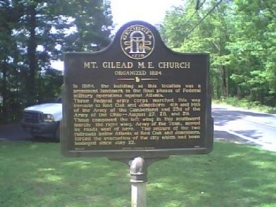
Photographed by Stanley and Terrie Howard, June 12, 2009
2. Mt. Gilead M. E. Church Marker
Mt. Gilead Methodist Episcopal Church was reported to have been used as a US Military Hospital to treat the wounded involved in heavy skirmishing with Confederate MAJ GEN Jackson's Cavalry at the Readwine Plantation 1 mile East of the Church during the movements against the Railroads on 25-27 August 1864. Major General Schofield and the XXIII Army Corps as well as the Major General Stanley Commanding IV Corps and Major General Johnson commanding the XIV Corps were also located here on the movements against Shadner Church (Union City) and Jonesboro.
— Submitted May 24, 2011, by Lieutenant Colonel Perry Bennett, Army Historian of Atlanta, Georgia.
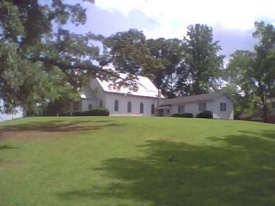
Photographed by Stanley and Terrie Howard, June 12, 2009
3. Mt. Gilead M. E. Church
Credits. This page was last revised on February 8, 2023. It was originally submitted on June 13, 2009, by Stanley and Terrie Howard of Greer, South Carolina. This page has been viewed 1,650 times since then and 37 times this year. Photos: 1, 2, 3. submitted on June 13, 2009, by Stanley and Terrie Howard of Greer, South Carolina. • Bill Pfingsten was the editor who published this page.
