
Teotihuacán de Arista in Teotihuacán, Mexico State, Mexico — The Central Highlands (North America)
Miguel Hidalgo Bicentennial Plaza
Photographed by J. Makali Bruton, May 15, 2022
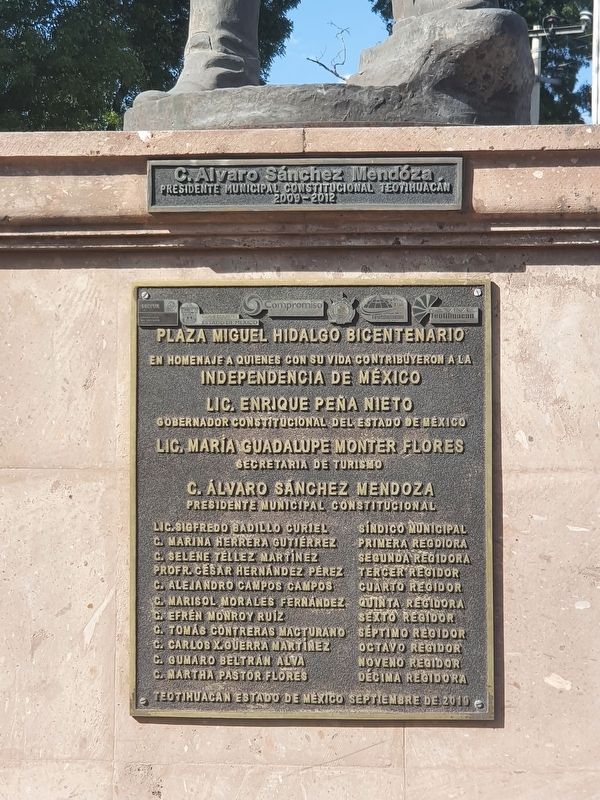
1. Miguel Hidalgo Bicentennial Plaza Marker

En homenaje a quienes con su vida contribuyeron a la Independencia de México
Lic. Enrique Peña Nieto · Gobernador Constitucional del Estado de México
Lic María Guadalupe Monter Flores · Secretaria de Turismo
C. Álvaro Sánchez Mendoza · Presidente Municipal Constitucional
Nombres de síndicos y regidores
Teotihuacan Estado de Mexico septiembre de 2010
Miguel Hidalgo Bicentennial Plaza
In tribute to those who with their lives contributed to the Independence of Mexico
Enrique Peña Nieto · Constitutional Governor of the State of Mexico
Lic María Guadalupe Monter Flores · Secretary of Tourism
C. Álvaro Sánchez Mendoza · Constitutional Municipal President
Names of trustees and aldermen
Teotihuacan, State of Mexico, September 2010
Erected 2010.
Topics. This historical marker is listed in these topic lists: Colonial Era • Patriots & Patriotism • Wars, Non-US. A significant historical month for this entry is September 2010.
Location. 19° 40.95′ N, 98° 52.168′ W. Marker is in Teotihuacán de Arista, Estado de Mexico (Mexico State), in Teotihuacán. It is at the intersection of Plazoleta
this page online

Regionally, this marker is in Central Mexico and specifically in Mexico City Metropolitan Area. Globally, it is in North America, specifically in Mesoamerica, on the Ring of Fire, and in the Western Hemisphere. Historically, it finds itself in what was once New Spain, a Spanish colony, and the Aztec Empire.
Other nearby markers. At least 8 other markers are within 3 kilometers of this marker, measured as the crow flies: Former Convent of San Juan Bautista (about 90 meters away, measured in a direct line); Mariano Arista (approx. 0.4 kilometers away); Monolithic Sculpture of a Water-related Deity (approx. 2 kilometers away); Avenue of the Dead (approx. 2.2 kilometers away); La Ciudadela (approx. 2.2 kilometers away); Northwest San Juan River Complex (approx. 2.3 kilometers away); Southern Building (approx. 2.3 kilometers away); The Southern Building of Teotihuacan (approx. 2.3 kilometers away). Touch for a list and map of all
Photographed by J. Makali Bruton, May 15, 2022
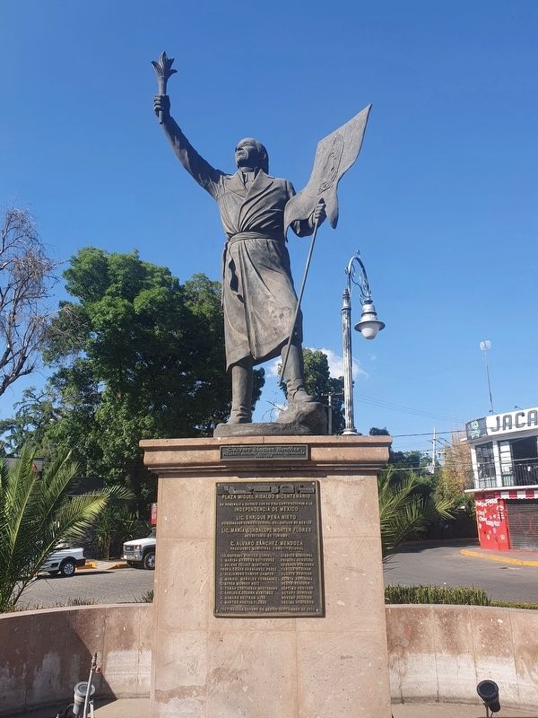
2. Miguel Hidalgo Bicentennial Plaza Marker
Photographed by J. Makali Bruton, May 15, 2022
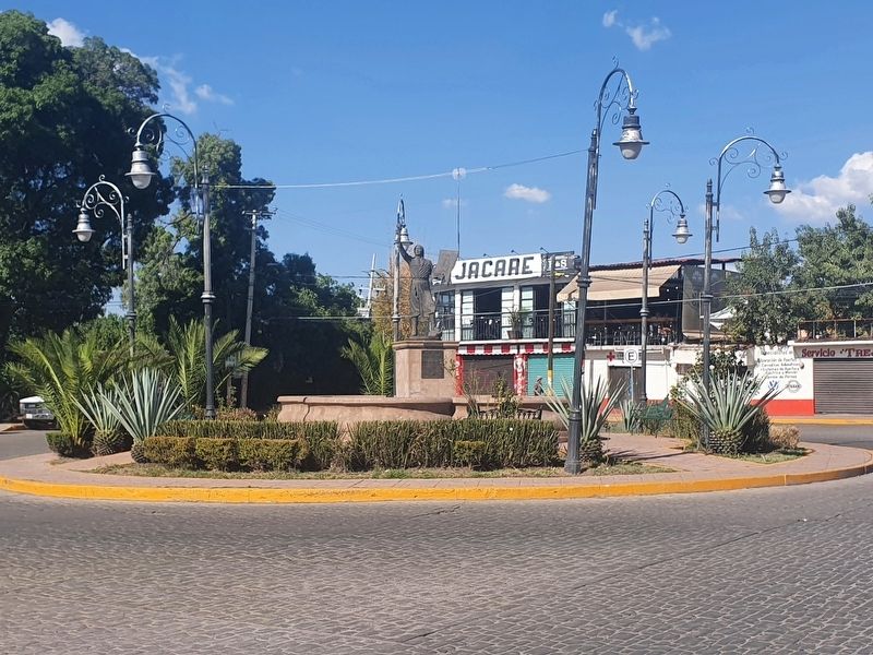
3. Miguel Hidalgo Bicentennial Plaza Marker
Credits. This page was last revised on May 31, 2022. It was originally submitted on May 31, 2022, by J. Makali Bruton of Washington, District of Columbia. This page has been viewed 96 times since then and 8 times this year. Photos: 1, 2, 3. submitted on May 31, 2022, by J. Makali Bruton of Washington, District of Columbia.
