San Juan Capistrano in Orange County, California — The American West (Pacific Coastal)
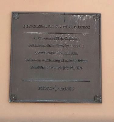
Don Gaspar de Portola Building
Photographed by Adam Margolis, June 2, 2022
1. Don Gaspar de Portola Building Marker
Erected by Ortega Ranch.
Topics and series. This historical marker is listed in these topic lists: Colonial Era • Exploration • Hispanic Americans • Settlements & Settlers. In addition, it is included in the Portolá Expedition series list. A significant historical date for this entry is July 23, 1769.
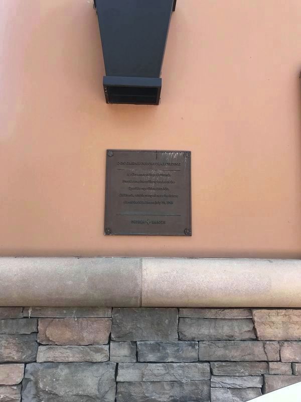
Location. 33° 30.272′ N, 117° 39.4′ W. Marker is in San Juan Capistrano, California, in Orange County. It can be reached from Rancho Viejo Road 0.1 miles north of Ortega Hwy (California Route 74). Marker is on the north wall (north-east corner of building), next to entrance to unit #101 entrance, labelled "Leasing Office Entrance". Touch for map. Marker is at or near this postal address: 31521 Rancho Viejo Rd, San Juan Capistrano CA 92675, United States of America. Touch for directions.

Regionally, this marker is in Greater Los Angeles and in the Peninsular Ranges. It is also on the American Pacific Coast. Globally, it is in North America,
this page online
Other nearby markers. At least 8 other markers are within walking distance of this marker: Chief Clarence Lobo Building (a few steps from this marker); Don Jose Antonio Yorba Building (a few steps from this marker); Don Juan Avila Building (within shouting distance of this marker); Feliciano Rios Building (about 300 feet away, measured in a direct line); Jose Francisco Ortega Building (about 400 feet away); Old Mission Cemetery (about 400 feet away); Don Juan Forester Building (about 400 feet away); Capistrano Home Like Mission at Old Town (about 700 feet away). Touch for a list and map of all markers in San Juan Capistrano.
Photographed by Adam Margolis, June 2, 2022
2. Don Gaspar de Portola Building Marker

Photographed by Adam Margolis, June 2, 2022
3. Don Gaspar de Portola Building - Marker in context
Photo faces west and south-west, from the north-west corner of #31531. Marker can be seen on the right (between the two trees).
Credits. This page was last revised on August 6, 2026. It was originally submitted on June 3, 2022, by Adam Margolis of Mission Viejo, California. This page has been viewed 312 times since then and 33 times this year. Photos: 1. submitted on June 7, 2022, by Adam Margolis of Mission Viejo, California. 2, 3. submitted on June 3, 2022, by Adam Margolis of Mission Viejo, California. • Andrew Ruppenstein was the editor who published this page.
Editor’s want-list for this marker. Better wide view photo of the marker showing its location. • Can you help?
