Fort Loramie in Shelby County, Ohio — The American Midwest (Great Lakes)
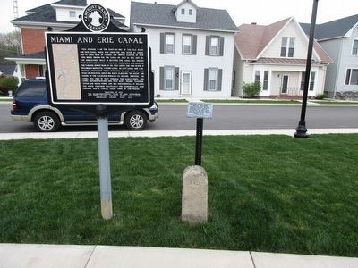
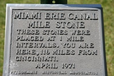
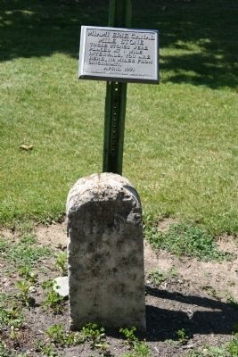
Miami Erie Canal Mile Stone
Erected 1971 by Fort loramie Historical Society.
Topics and series. This historical marker is listed in these topic lists: Industry & Commerce • Man-Made Features • Waterways & Vessels. In addition, it is included in the The Miami & Erie Canal series list.
Location. 40° 21.053′ N, 84° 22.5′ W. Marker is in Fort Loramie, Ohio, in Shelby County. Marker is at the intersection of West Main Street and Water Street, on the left when traveling south on West Main Street. Touch for map. Marker is in this post office area: Fort Loramie OH 45845, United States of America. Touch for directions.
Other nearby markers. At least 8 other markers are within 3 miles of this marker, measured as the crow flies. Miami and Erie Canal (here, next to this marker); Greene Ville Treaty Line (here, next to this marker); Fort Loramie Veterans Monument (a few steps from this marker); Pioneer Portage (about 300 feet away, measured in a direct line); Veterans Memorial (about 800 feet away); Greenville Treaty Line (approx. half a mile away); Fort Loramie (approx. 0.7 miles away); Minster (approx. 2.2 miles away). Touch for a list and map of all markers in Fort Loramie.
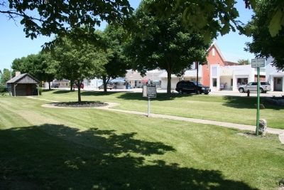
More about this marker . This historical marker is located in a park that runs through the center of the town, on the old right-of-way of the Miami & Erie Canal.

Photographed By Rev. Ronald Irick, May 3, 2016
4. Miami Erie Canal Mile Stone Marker
Marker has been re-located during renovation of the park. It is now closer to the west side of the park. The "Miami and Erie Canal/ Greenville Treaty Line" marker has been moved also, and is again adjacent to this marker.
Credits. This page was last revised on June 16, 2016. It was originally submitted on June 14, 2009, by Dale K. Benington of Toledo, Ohio. This page has been viewed 1,355 times since then and 23 times this year. Photos: 1, 2, 3. submitted on June 14, 2009, by Dale K. Benington of Toledo, Ohio. 4. submitted on May 3, 2016, by Rev. Ronald Irick of West Liberty, Ohio. • Kevin W. was the editor who published this page.


