Hancock in Washington County, Maryland — The American Northeast (Mid-Atlantic)
Victorian Garden / The "Broderick" home
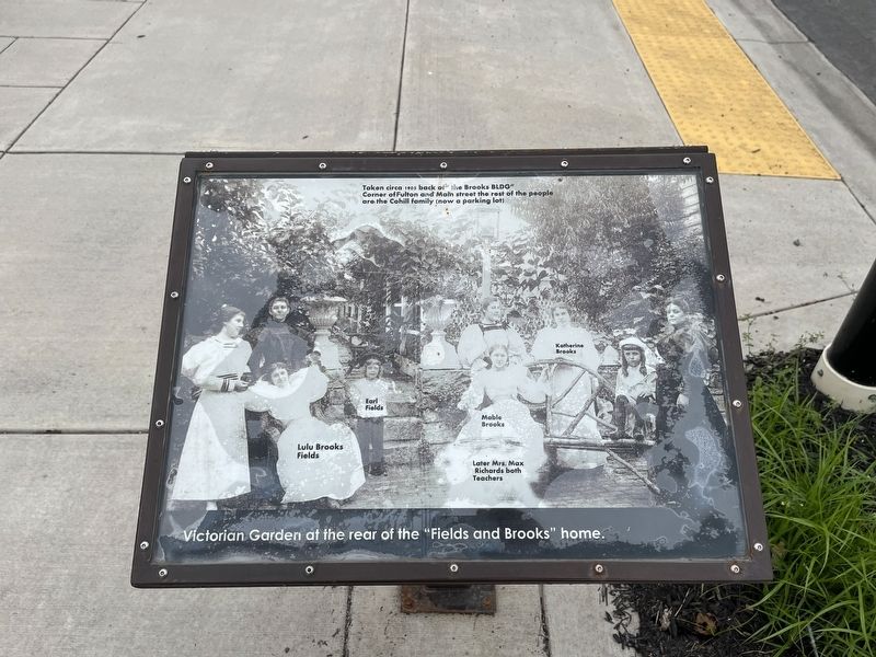
Victorian Garden at the rear of the "Fields and Brooks" home.
Taken circa 1905 back of" the Brooks BLDG"
Corner of Fulton and Main street the rest of the people are the Cohill family (now a parking lot)
Lulu Brooks Fields • Earl Fields • Mable Brooks, Later Mrs. Max Richards both Teachers • Katherine Brooks
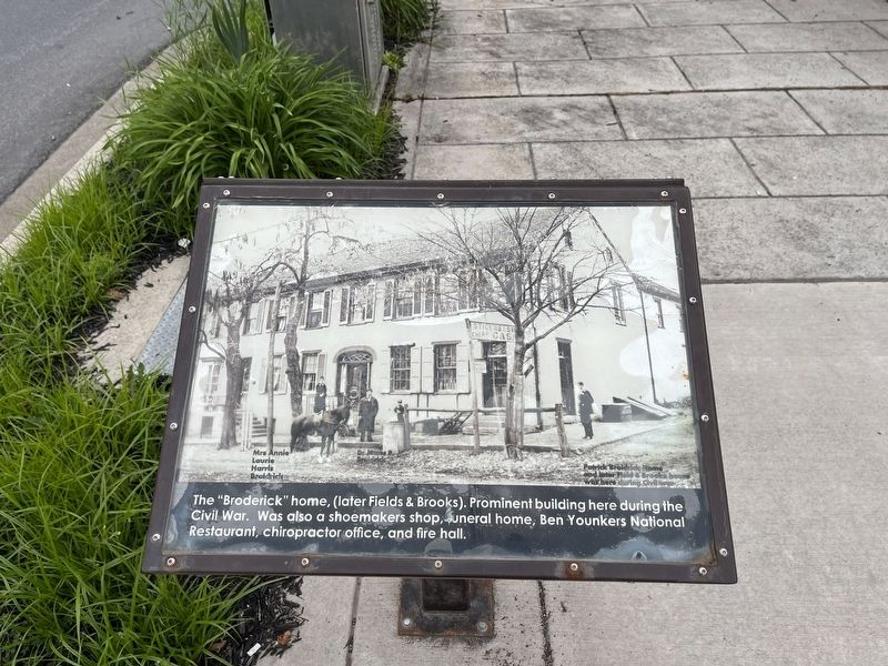
The "Broderick" home, (later Fields & Brooks). Prominent building here during the Civil War. Was also a shoemakers shop, funeral home, Ben Younkers National Restaurant, chiropractor office, and fire hall.
Mrs. Annie Laurie Harris Broidrick • Dr. James P. Broidrick
Patrick Broidrick Home and later Field & Brooke house was here during Civil war
Topics. This historical marker is listed in these topic lists: Horticulture & Forestry • Industry & Commerce • Notable Buildings • Science & Medicine • War, US Civil. A significant historical year for this entry is 1905.
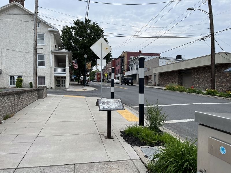
Location. 39° 41.953′ N, 78° 10.837′ W. Marker is in Hancock, Maryland, in Washington County. Marker is on West Main Street (Maryland Route 144) just west of Fulton Street, on the right when traveling west. Touch for map. Marker is at or near this postal address: 110 W Main St, Hancock MD 21750, United States of America. Touch for directions.
Other nearby markers. At least 8 other markers are within walking distance of this marker. The great snow of 1936 / Douglas Chevrolet (within shouting distance of this marker); "Hershey Ice Cream" Shop / "Barton House" (about 300 feet away, measured in a direct line); Hancock (about 400 feet away); Major James Breathed (about 400 feet away); a different marker also named Hancock (about 400 feet away); "Perkins House" / "Davis" Hotel (about 400 feet away); Discover the Trail (about 400 feet away); a different marker also named Discover the Trail (about 400 feet away). Touch for a list and map of all markers in Hancock.
Credits. This page was last revised on June 13, 2022. It was originally submitted on June 13, 2022, by Devry Becker Jones of Washington, District of Columbia. This page has been viewed 108 times since then and 9 times this year. Photos: 1, 2, 3. submitted on June 13, 2022, by Devry Becker Jones of Washington, District of Columbia.


