Franklin Canyon in Los Angeles in Los Angeles County, California — The American West (Pacific Coastal)
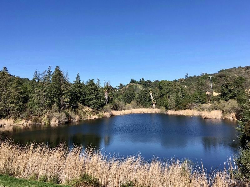
Upper Franklin Canyon Reservoir
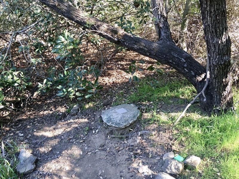
Exact Center of Los Angeles
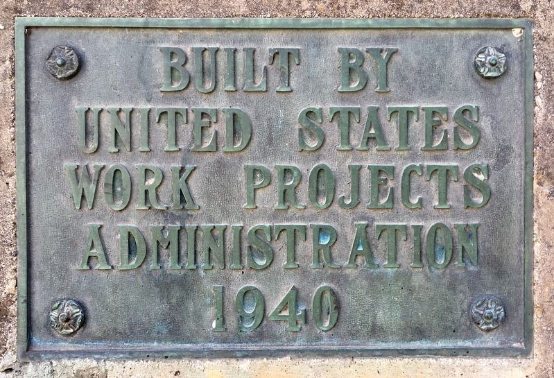
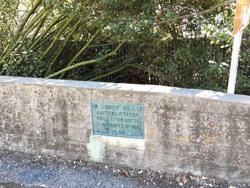
Built by United States Work Projects Administration, 1940.
second marker:
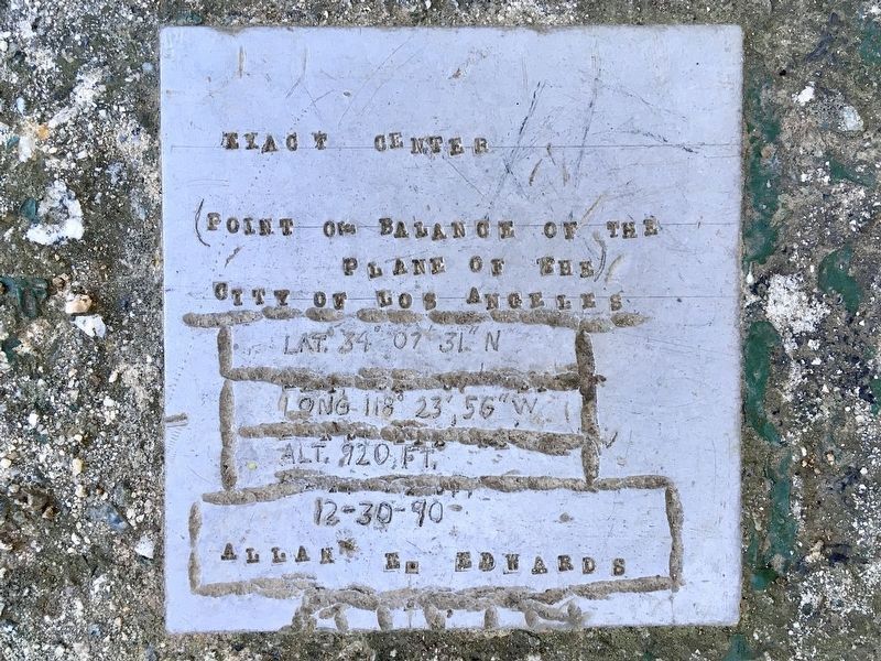
Exact Center - City of Los Angeles
Point of balance of the plane of the City of Los Angeles, Lat. 34°07'31"N, Long. 118°23'57"W, Alt. 920 ft, 12-30-90, Allan E. Edwards.
Erected 1940 by Work Projects Administration.
Topics and series. This historical marker is listed in these topic lists: Natural Resources • Parks & Recreational Areas • Waterways & Vessels. In addition, it is included in the Works Progress Administration (WPA) projects series list. A significant historical year for this entry is 1940.
Location. 34° 7.36′ N, 118° 24.568′ W. Marker is in Los Angeles, California, in Los Angeles County. It is in Franklin Canyon. Marker is on Franklin Canyon Drive, 0.7 miles south of Mulholland Drive. Located in Franklin Canyon Park, south of the main parking lot, near a stop sign. Touch for map. Marker is at or near this postal address: 2600 Franklin Canyon Dr, Beverly Hills CA 90210, United States of America. Touch for directions.
Other nearby markers. At least 8 other markers are within 2 miles of this marker, measured as the crow flies. Bailey House (approx. 1.1 miles away); St. Saviour's Chapel (approx. 1.3 miles away); Nancy Pohl Overlook at Fryman Canyon (approx. 1.4 miles away); El Paradiso (approx. 1˝ miles away); Melhorn Overlook (approx. 1˝ miles away); Sportsmen’s Lodge (approx. 1.6 miles away); Harry J. Wolff House (approx. 1.7 miles away); Mary Tyler Moore Show (approx. 1.9 miles away). Touch for a list and map of all markers in Los Angeles.
More about this marker. The WPA marker is located south of the main (dirt) parking lot, on a small concrete wall next to the road. It is near the north end of the lake, with an identical marker near the south end of the lake.
Regarding Upper Franklin Canyon Reservoir. Allan Edwards worked for the United States Geological Survey and was a guide at Franklin Canyon Park for the Mountains Recreation & Conservation Authority. To find the exact center of Los Angeles, Edwards took a map of Los Angeles and glued it to a sheet of foam core, trimmed it to match the city’s borders, and placed it on top of a pin in different spots until it balanced. In 1990 he placed his marker northeast of the main parking lot, at coordinates 34°07'28.1"N 118°24'28.0"W. The coordinates shown on the marker are outside the park, a half-mile east, in the yard of a private residence.
Credits. This page was last revised on July 3, 2023. It was originally submitted on June 13, 2022, by Craig Baker of Sylmar, California. This page has been viewed 254 times since then and 28 times this year. Photos: 1, 2, 3, 4, 5. submitted on June 13, 2022, by Craig Baker of Sylmar, California.
