Near Flintstone in Allegany County, Maryland — The American Northeast (Mid-Atlantic)
Perry Barnes Game Refuge
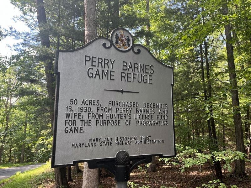
Erected by Maryland Historical Trust, Maryland State Highway Administration.
Topics and series. This historical marker is listed in these topic lists: Animals • Environment • Parks & Recreational Areas. In addition, it is included in the Maryland Historical Trust series list. A significant historical date for this entry is December 13, 1930.
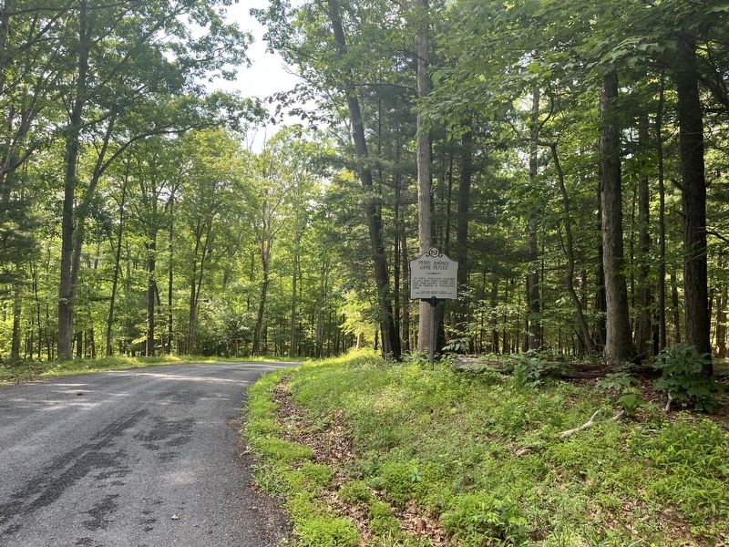
Location. 39° 41.359′ N, 78° 25.551′ W. Marker is near Flintstone, Maryland, in Allegany County. It is on Mountain Road 0.2 miles south of National Pike Northeast (Scenic U.S. 40), on the right when traveling north. Touch for map. Marker is in this post office area: Little Orleans MD 21766, United States of America. Touch for directions.

Regionally, this marker is in Western Maryland. It is also in the American Mid-Atlantic, in Appalachia, and specifically in Northern Appalachia. Globally, it is in North America, the Western Hemisphere, the Western World, and the Anglosphere. Historically, it finds itself in what was once one of the original Thirteen
this page online
Other nearby markers. At least 8 other markers are within 8 miles of this marker, measured as the crow flies: Billmeyer Game Refuge (approx. 0.2 miles away); a different marker also named Town Hill Overlook (approx. 1.4 miles away); John Mash Jr. (approx. 1.9 miles away); Pine Lick Trail (approx. 1.9 miles away); Log Roll Trail (approx. 1.9 miles away); Twin Oaks Trail (approx. 1.9 miles away); Long Pond Trail (approx. 1.9 miles away); “The Warrior’s Path” (approx. 7.4 miles away). Touch for a list and map of all markers in Flintstone.
Other markers no longer nearby. Town Hill Overlook (was approx. 1.4 miles away but has been replaced with another marker now near it); McCausland's Raid (was approx. 1.6 miles away but has been confirmed missing).
Credits. This page was last revised on June 13, 2022. It was originally submitted on June 13, 2022, by Devry Becker Jones of Washington, District of Columbia. This page has been viewed 387 times since then and 35 times this year. Photos: 1, 2. submitted on June 13, 2022, by Devry Becker Jones of Washington, District of Columbia.
