Elkhart in Elkhart County, Indiana — The American Midwest (Great Lakes)
Elkhart River Old Indian Trail
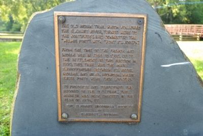
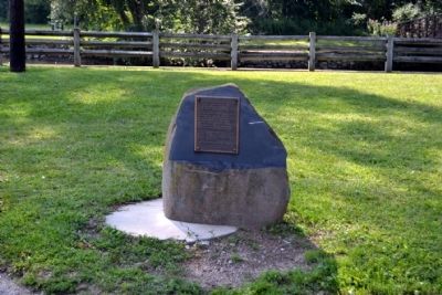
The old Indian trail which followed the Elkhart River, turned here to the northwest, and connected the “Miamis Fort” with “Fort St. Joseph”.
From the time of the French and Indian War in 1755 to 1763, up to the settlement of this section in 1830, this trail was the main thoroughfare between Ft. Wayne, Indiana, and Niles, Michigan, where these forts were then located.
To preserve and perpetuate the record of the old trail, this marker has been erected in the Year of 1935, by the Elkhart Historical Society of Elkhart, Indiana
Erected 1935 by Elkhart Historical Society.
Topics. This historical marker is listed in these topic lists: Native Americans • Roads & Vehicles. A significant historical year for this entry is 1755.
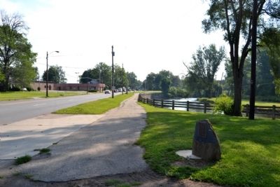
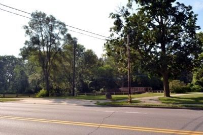
Location. 41° 41.445′ N, 85° 57.652′ W. Marker is in Elkhart, Indiana, in Elkhart County. Marker can be reached from East Jackson Boulevard east of Marine Avenue, on the right when traveling east. Touch for map. Marker is at or near this postal address: 899 E Jackson Blvd, Elkhart IN 46516, United States of America. Touch for directions.
Other nearby markers. At least 8 other markers are within walking distance of this marker. C.G. Conn Company (approx. 0.4 miles away); The Rivers for Industry (approx. half a mile away); Village of Pulaski (approx. half a mile away); The Rivers and the Native Americans (approx. half a mile away); Silas Baldwin Civil War Memorial (approx. half a mile away); The Rivers for Recreation (approx. half a mile away); Elkhart River Dam Removal (approx. half a mile away); Elkhart's Early Industrial Power (approx. 0.6 miles away). Touch for a list and map of all markers in Elkhart.
Credits. This page was last revised on June 29, 2022. It was originally submitted on August 15, 2014, by Duane Hall of Abilene, Texas. This page has been viewed 652 times since then and 24 times this year. Last updated on June 19, 2022, by Trevor L Whited of Kokomo, Indiana. Photos: 1, 2, 3, 4, 5. submitted on August 15, 2014, by Duane Hall of Abilene, Texas. • Devry Becker Jones was the editor who published this page.


