Agoura Hills in Los Angeles County, California — The American West (Pacific Coastal)
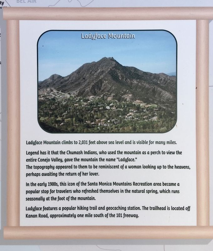
Ladyface Mountain
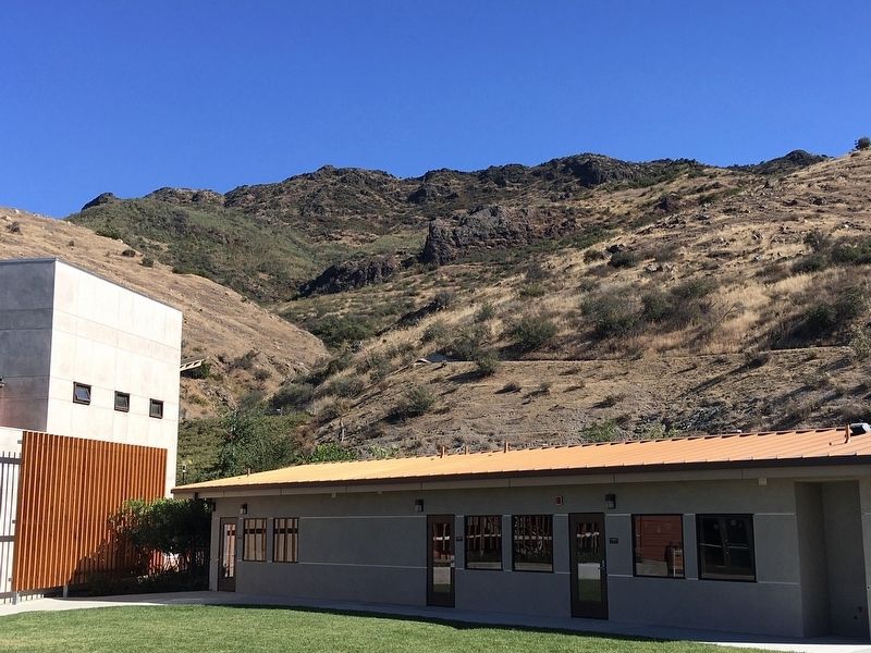
Ladyface Mountain climbs to 2,031 feet above sea level and is visible for many miles.
Legend has it that the Chumash Indians, who used the mountain as a perch to view the entire Conejo Valley, gave the mountain the name "Ladyface." The topography appeared to them to be reminiscent of a woman looking up to the heavens, perhaps awaiting the return of her lover.
In the early 1900s, this icon of the Santa Monica Mountains Recreation Area became a popular stop for travelers who refreshed themselves in the natural spring, which runs seasonally at the foot of the mountain.
Ladyface features a popular hiking trail and geocaching station. The trailhead is located off Kanan Road, approximately one mile south of the 101 freeway.
Erected by City of Agoura Hills.
Topics. This historical marker is listed in these topic lists: Native Americans • Natural Features.
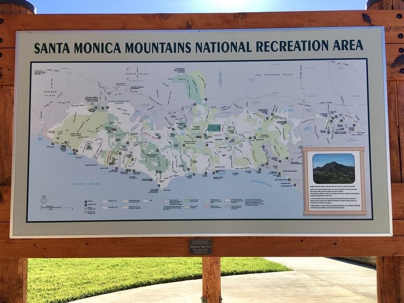
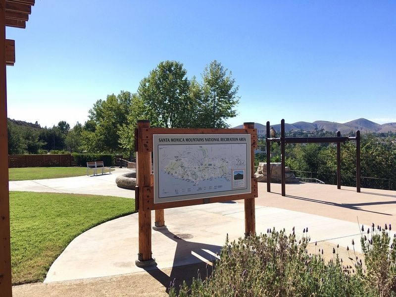
Location. 34° 8.609′ N, 118° 46.533′ W. Marker is in Agoura Hills, California, in Los Angeles County. Marker can be reached from Ladyface Court, 0.1 miles south of Agoura Road. Located at Agoura Hills Recreation and Events Center. Touch for map. Marker is at or near this postal address: 29900 Ladyface Ct, Agoura Hills CA 91301, United States of America. Touch for directions.
Other nearby markers. At least 8 other markers are within 4 miles of this marker, measured as the crow flies. Reyes Adobe Historical Site (approx. 0.7 miles away); Lake Enchanto (approx. 2 miles away); Peter Strauss Ranch (approx. 2.1 miles away); Paramount Ranch (approx. 2.2 miles away); Reagan Ranch (approx. 2.8 miles away); Ballard Mountain (approx. 2.8 miles away); Morrison Ranch House (approx. 2.9 miles away); Triunfo Canyon (approx. 3.7 miles away). Touch for a list and map of all markers in Agoura Hills.
Credits. This page was last revised on January 30, 2023. It was originally submitted on June 26, 2022, by Craig Baker of Sylmar, California. This page has been viewed 610 times since then and 98 times this year. Photos: 1, 2, 3, 4. submitted on June 26, 2022, by Craig Baker of Sylmar, California.


