Hot Springs in Garland County, Arkansas — The American South (West South Central)
Indian Trail
Photographed by Mark Hilton, June 25, 2022
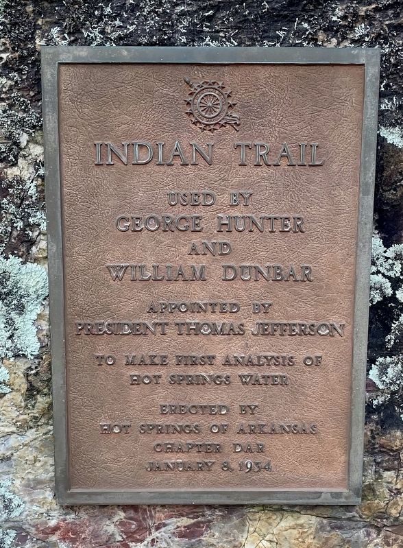
1. Indian Trail Marker
George Hunter
and
William Dunbar
Appointed by
President Thomas Jefferson
to make first analysis of
Hot Springs water
Erected 1934 by Hot Springs of Arkansas Chapter DAR.
Topics and series. This historical marker is listed in these topic lists: Indigenous Peoples and Communities • Waterways & Vessels. In addition, it is included in the Daughters of the American Revolution (DAR) series list.
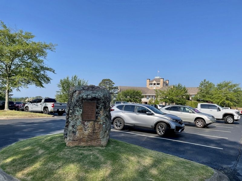
Location. 34° 28.831′ N, 93° 1.801′ W. Marker is in Hot Springs, Arkansas, in Garland County. It can be reached from Country Club Road west of Malvern Avenue (Business U.S. 270), on the left when traveling west. Located within the parking lot of the Country Club. Touch for map. Marker is at or near this postal address: 101 Country Club Dr, Hot Springs National Park AR 71901, United States of America. Touch for directions.

Regionally, this marker is in Arkansas’ Ouachita Mountains. It is also in the American South and specifically in the Upper South. Globally, it is in North America, the Western Hemisphere, the Western World, and the Anglosphere.
this page online
Other nearby markers. At least 8 other markers are within 2 miles of this marker, measured as the crow flies: Hot Springs Country Club (within shouting distance of this marker); Hollywood Cemetery (approx. 0.8 miles away); Eureka Missionary Baptist Church (approx. 1½ miles away); Rogers Hornsby (approx. 1½ miles away); Hank Aaron (approx. 1½ miles away); Majestic Field (approx. 1.6 miles away); Jackie Robinson (approx. 1.6 miles away); Sam Guinn Field (approx. 1.7 miles away). Touch for a list and map of all markers in Hot Springs.
Also see . . . Encyclopedia of Arkansas article on the Hunter-Dunbar Expedition. (Submitted on June 26, 2022, by Mark Hilton of Montgomery, Alabama.)
Photographed by Mark Hilton, June 25, 2022
2. Indian Trail Marker near the Hot Springs Country Club.
Photographed by Mark Hilton, June 25, 2022
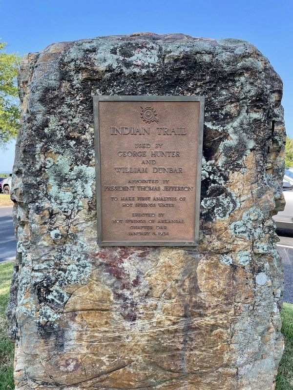
3. Indian Trail Marker
Credits. This page was last revised on June 26, 2022. It was originally submitted on June 26, 2022, by Mark Hilton of Montgomery, Alabama. This page has been viewed 521 times since then and 25 times this year. Photos: 1, 2, 3. submitted on June 26, 2022, by Mark Hilton of Montgomery, Alabama.
