Danville in Contra Costa County, California — The American West (Pacific Coastal)
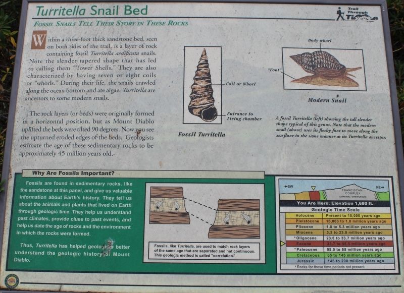
Turritella Snail Bed
Fossil Snails Tell Their Story in These Rocks
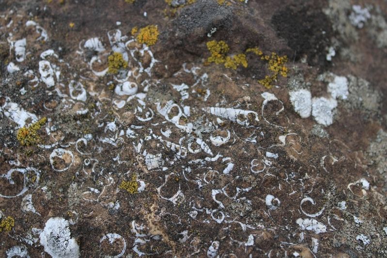
The rock layers (or beds) were originally formed in a horizontal position, but as Mount Diablo uplifted the beds were tilted 90 degrees. Now you see the upturned eroded edges of the beds. Geologists estimate the age of these sedimentary rocks to be approximately 45 million years old.
Why are fossils important?
Fossils are found in sedimentary rocks, like the sandstone at this panel, and give us valuable information about Earth’s history. They tell us about the animals and plants that lived on Earth through geologic time. They help us understand past climates, provide clues to past events, and help us date the age of rocks and the environment in which the rocks were formed.
Thus, Turritella has helped geologists better understand the geologic history of Mount Diablo.
Erected by California Department of Parks & Recreation.
Topics. This historical marker is listed in these topic lists: Animals • Anthropology & Archaeology • Paleontology • Parks & Recreational Areas.
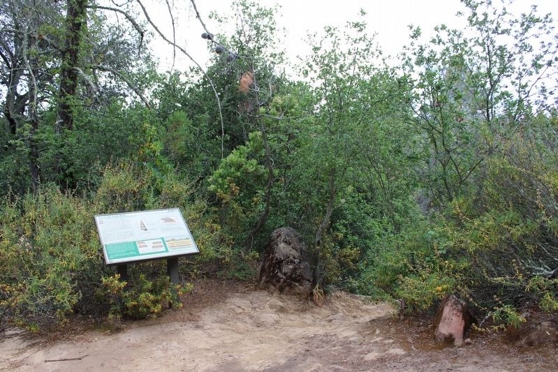
Location. 37° 51.153′ N, 121° 55.978′ W. Marker is in Danville, California, in Contra Costa County. Marker can be reached from Wall Point Road, on the left when traveling south. The marker is mounted to a metal stand on the Trail Through Time (Staircase Trail) about 100 feet northeast of Wall Point Road, inside Mount Diablo State Park. Touch for map. Marker is in this post office area: Danville CA 94506, United States of America. Touch for directions.
Other nearby markers. At least 8 other markers are within 3 miles of this marker, measured as the crow flies. Sentinel Rock Overlook (about 500 feet away, measured in a direct line); Indian Grinding Holes (about 700 feet away); Blackhawk Ranch Quarry (approx. 0.2 miles away); Mount Diablo State Park (approx. 2.1 miles away); What Are Those Towers For? (approx. 2.1 miles away); Mt Diablo State Park (approx. 2.2 miles away); Mount Diablo (approx. 2.3 miles away); Mount Diablo Beacon: (approx. 2.3 miles away). Touch for a list and map of all markers in Danville.
Credits. This page was last revised on June 30, 2022. It was originally submitted on June 27, 2022, by Joseph Alvarado of Livermore, California. This page has been viewed 339 times since then and 52 times this year. Photos: 1, 2, 3, 4. submitted on June 28, 2022, by Joseph Alvarado of Livermore, California. • Syd Whittle was the editor who published this page.


