Monroe in Monroe County, Michigan — The American Midwest (Great Lakes)
River Raisin Legacy Project
Fish Passage 4
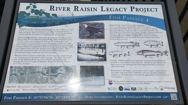
Where the River Raisin winds through the city of Monroe, it once flowed over six low head dams (2.5'-3' high) constructed by the Works Progress Administration in the 1930s. A habitat restoration project some 80 years later re-established fish passage here.
Phase I was completed in 2012 with the removal of the dams by St. Mary's Park and the Macomb Street Bridge. Dams that house active sanitary sewers near Cappucilli Park and Hellenburg Park were updated with rock arch ramps to provide passage for fish and small boats. Dams 2 and 3 did not contain active sewers and were removed entirely. Phase II completed in 2014 included dmas by the post office and Virginia Drive that also housed active sanitary sewers. These were also customized with rock arch ramps built downstream to provide fish, kayak, small boat and canoe passage.
Waterloo Dam at Veterans Park had a bypass channel routed through the westerly part of the park to allow passage. The Grape Dam, just west of Ida-Maybee Road, was also modified, allowing passage through the lower 23 miles of the River Raisin for the first time in more than 70 years!
Many fish that migrate up rivers for spawning, such as northern pike, muskellunge, whitefish, sturgeon and walleye will benefit. Restoring rivers to provide the habitat they once offered is a necessary part of restoring Lake Erie. The River Raisin is a bedrock-lined channel, which is a favored spawning habitat for many species including sturgeon. This will have a cascading effect on wildlife, bringing fish to spawn, freshwater mussels, aquatic insects, waterfowl and other wetland-dependent fauna back to the area.
Fishing, wildlife viewing, bird watching, canoeing and kayaking are available as never before in our lifetime. Residents and visitors now have access to the Sterling State Park lagoons by bike, on foot, by canoe and kayak.
Birdwatchers will enjoy a much closer view of eagles, osprey, hawks, and other migrating birds. Fishermen will see expanded fishing in addition to the many other recreational opportunities that are now at our doorstep.
Erected by City of Monroe.
Topics and series. This historical marker is listed in these topic lists: Environment • Waterways & Vessels. In addition, it is included in the Works Progress Administration (WPA) projects series list. A significant historical year for this entry is 2012.
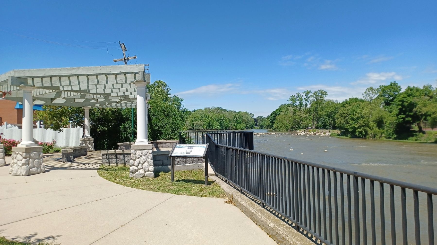
Location. 41° 55.06′ N, 83° 23.956′ W. Marker is in Monroe, Michigan, in Monroe County. Marker can be reached from West Front Street west of South Monroe Street (State Highway 125), on the right when traveling west. Marker is next to a scenic
overlook at the west end of a footpath along the south shore of the River Raisin. Touch for map. Marker is at or near this postal address: 114 West Front Street, Monroe MI 48161, United States of America. Touch for directions.
Other nearby markers. At least 8 other markers are within walking distance of this marker. A different marker also named River Raisin Legacy Project (about 300 feet away, measured in a direct line); Dr. Martin Luther King, Jr. (about 400 feet away); Old Michigan Southern (about 400 feet away); Editor Ellis, 1825 (about 600 feet away); Historic Crossroad (about 600 feet away); Monroe Street Bridge (about 700 feet away); Major-General George Armstrong Custer (about 700 feet away); General George A. Custer (about 700 feet away). Touch for a list and map of all markers in Monroe.
Also see . . . River Raisin Legacy Project. Information about the River Raisin Legacy Project on the City of Monroe's website. (Submitted on June 29, 2022, by Joel Seewald of Madison Heights, Michigan.)
Credits. This page was last revised on June 29, 2022. It was originally submitted on June 29, 2022, by Joel Seewald of Madison Heights, Michigan. This page has been viewed 227 times since then and 49 times this year. Photos: 1, 2. submitted on June 29, 2022, by Joel Seewald of Madison Heights, Michigan.

