Avondale in Cincinnati in Hamilton County, Ohio — The American Midwest (Great Lakes)
Garden of Peace
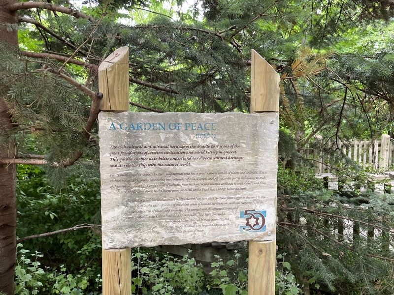
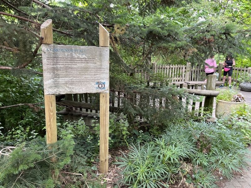
The rich cultural and spiritual heritage of the Middle East is one of the great foundations of western civilization and world history in general. This garden enables us to better understand our diverse cultural heritage and its relationship with the natural world.
For its small size this Middle Eastern geographical area has a great natural wealth of plants and animals. It is a virtual biological highway connecting the continents of Asia, Europe, and Africa, with species indigenous to each of these regions. There is a wide range of habitats, from freshwater and marine wetlands to arid deserts, and from 2,900 ft. high down to the lowest point on earth at the Dead Sea, 1,600 ft. below sea level.
The land of Israelites within the "Fertile Crescent," an area that stretches from Egypt in the west to the Persian Gulf in the east. It is one of the oldest areas of human civilization, with an economy based on the domestication of plants and animals. The earliest uses of cultivated crops and domesticated livestock date back 3,000-5,000 years. The Bible contains a fascinating historic record of these domesticated species, many
this page online
Erected by Cincinnati Zoo and Botanical Garden.
Topics. This historical marker is listed in these topic lists: Agriculture • Animals • Anthropology & Archaeology • Settlements & Settlers. A significant historical year for this entry is 1000 BCE.
Location. 39° 8.735′ N, 84° 30.402′ W. Marker is in Cincinnati, Ohio, in Hamilton County. It is in Avondale. It can be reached from Vine Street north of Erkenbrecher Avenue, on the right when traveling north. Touch for map. Marker is at or near this postal address: 3400 Vine St, Cincinnati OH 45229, United States of America. Touch for directions.

Regionally, this marker is in the American Midwest and in the Ohio River Valley. Globally, it is in North America, the Western Hemisphere, the Western World, and the Anglosphere. Historically, it finds itself in what was once the Haudenosaunee (Iroquois) Confederacy, the territory of the Mississippian Culture, and the Northwest Territory.
Other nearby markers. At least 8 other markers are within walking distance of this marker: The Waterwheel (here, next to this
Credits. This page was last revised on March 3, 2024. It was originally submitted on July 2, 2022, by Devry Becker Jones of Washington, District of Columbia. This page has been viewed 487 times since then and 74 times this year. Photos: 1, 2. submitted on July 2, 2022, by Devry Becker Jones of Washington, District of Columbia.
Editor’s want-list for this marker. Transcription of the Hebrew text in the subtitle • Can you help?
