Avondale in Cincinnati in Hamilton County, Ohio — The American Midwest (Great Lakes)
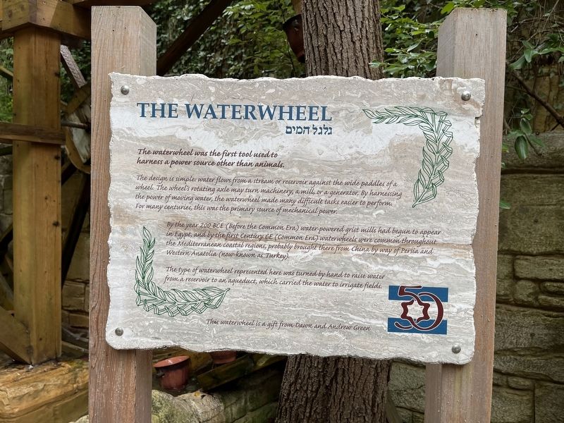
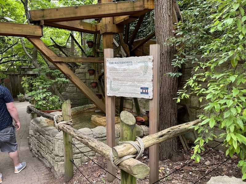
The Waterwheel
The waterwheel was the first tool used to harness a power source other than animals.
The design is simple: water flows from a stream or reservoir against the wide paddles of a wheel. The wheel's rotating axle may turn machinery, a mill or a generator. By harnessing the power of moving water, the waterwheel made many difficult tasks easier to perform. This many centuries, this was the primary source of mechanical power.
By the year 200 BCE (Before the Common Era) water-powered grist mills had began to appear in Egypt, and by the first century CE (Common Era) waterwheels were common throughout the Mediterranean coastal regions, probably brought there from China by way of Persia and Western Anatolia (now know as Turkey).
The type of waterwheel represented here was turned by hand to raise water from a reservoir to an aqueduct, which carried the water to irrigate fields.
This waterwheel is a gift from Dawn and Andrew Green.
Erected by Cincinnati Zoo and Botanical Garden.
Topics. This historical marker is listed in these topic lists: Anthropology & Archaeology • Industry & Commerce • Natural Resources • Waterways & Vessels.
Location. 39° 8.738′ N, 84° 30.399′ W. Marker is in Cincinnati, Ohio, in Hamilton County. It is in Avondale. Marker can be reached from Vine Street north of Erkenbrecher Avenue, on the right when traveling north. Touch for map. Marker is at or near this postal address: 3489 Dury Ave, Cincinnati OH 45229, United States of America. Touch for directions.
Other nearby markers. At least 8 other markers are within walking distance of this marker. The Aqueduct (here, next to this marker); Omayyad or Early Arab Period (here, next to this marker); Bronze Age (here, next to this marker); Byzantine Period (here, next to this marker); Roman Period (here, next to this marker); Hellenistic Peirod (here, next to this marker); Persian Period (here, next to this marker); Iron Age (here, next to this marker). Touch for a list and map of all markers in Cincinnati.
Credits. This page was last revised on February 4, 2023. It was originally submitted on July 2, 2022, by Devry Becker Jones of Washington, District of Columbia. This page has been viewed 72 times since then and 26 times this year. Photos: 1, 2. submitted on July 2, 2022, by Devry Becker Jones of Washington, District of Columbia.
Editor’s want-list for this marker. Transcription of the Hebrew text in the subtitle • Can you help?

