Dryden in Tompkins County, New York — The American Northeast (Mid-Atlantic)
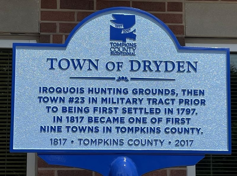
Town of Dryden
Tompkins County
| — | 1817 - 2017 | — |
Photographed by Susan A. Dalaba
1. Town of Dryden Marker
Erected 2017 by Tompkins County.
Topics. This historical marker is listed in these topic lists: Anthropology & Archaeology • Indigenous Peoples and Communities • Political Subdivisions • Settlements & Settlers. A significant historical year for this entry is 2017.
Location. 42° 29.459′ N, 76° 17.18′ W. Marker is in Dryden, New York, in Tompkins County. It is on East Main Street (New York State Route 392) just east of Maple Ridge Drive, on the right when traveling west. Touch for map. Marker is at or near this postal address: 93 E Main St, Dryden NY 13053, United States of America. Touch for directions.

Regionally, this marker is in Upstate New York and in the Southern Tier. It is also in the American Northeast and in the Mid-Atlantic. Globally, it is in North America, the Western Hemisphere, the Western World, and the Anglosphere. Historically, it finds itself in what was once the Haudenosaunee (Iroquois) Confederacy, New Netherland,
this page online
Other nearby markers. At least 8 other markers are within 4 miles of this marker, measured as the crow flies: Dryden War Memorial (approx. 0.6 miles away); Edward Griswold (1758-1843) (approx. 0.6 miles away); Historic District (approx. 0.6 miles away); Gee Hill (approx. 2.4 miles away); “Daddy” (approx. 2.7 miles away); Nathan Bouton (approx. 2.8 miles away); Site of First Schoolhouse (approx. 3.1 miles away); Malloryville (approx. 3.2 miles away). Touch for a list and map of all markers in Dryden.
Photographed by Susan A. Dalaba
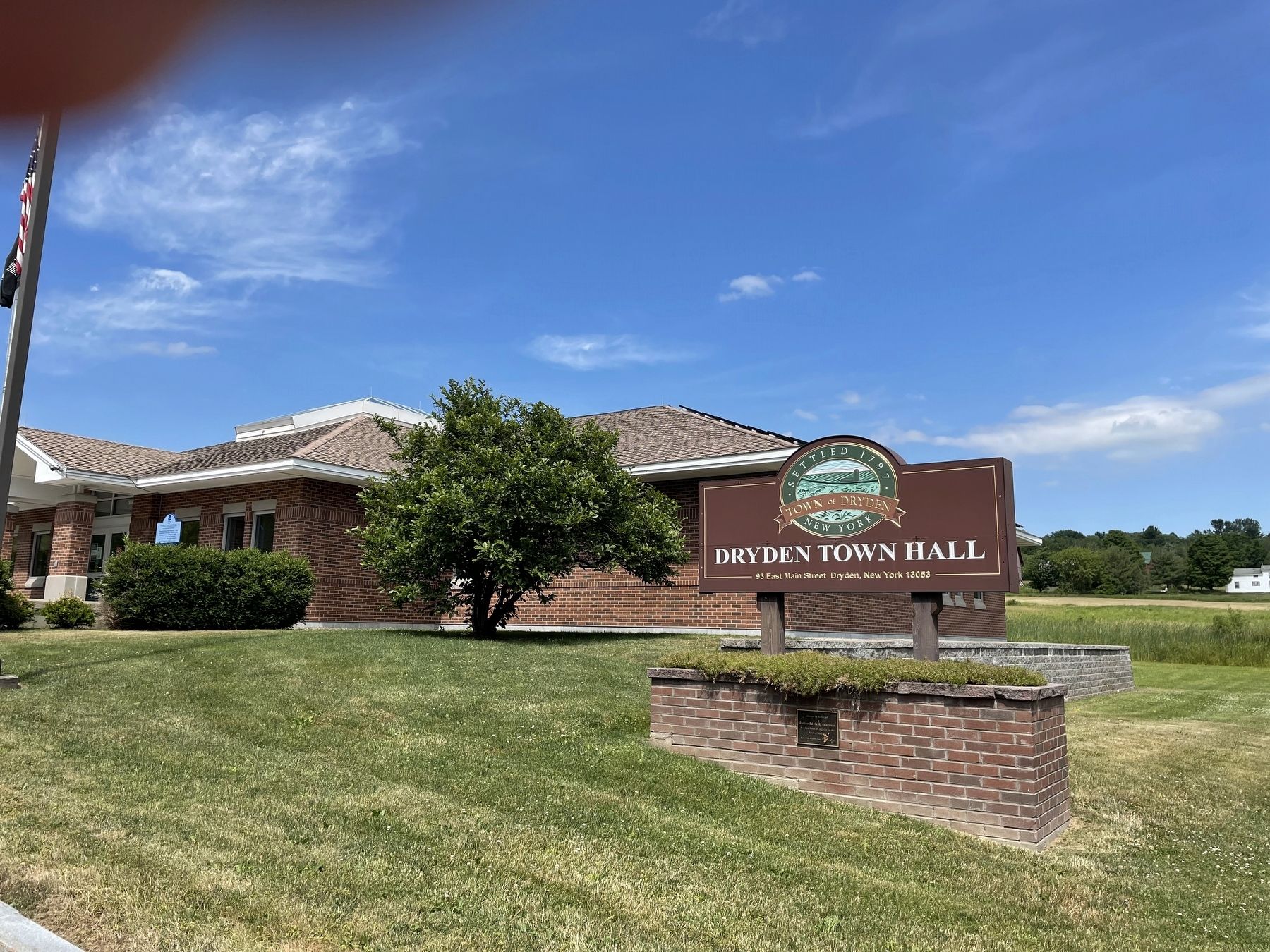
2. Town of Dryden Marker

Photographed by Mira Earls, March 8, 2024
3. Town of Dryden Marker
Plaque on the Town Hall Sign Wall
Credits. This page was last revised on March 19, 2024. It was originally submitted on July 2, 2022, by Susan A. Dalaba of Cortland, New York. This page has been viewed 426 times since then and 39 times this year. Photos: 1, 2. submitted on July 2, 2022, by Susan A. Dalaba of Cortland, New York. 3. submitted on March 9, 2024, by Mira Earls of Cortland, New York. • Devry Becker Jones was the editor who published this page.
