Fairfield in Butler County, Ohio — The American Midwest (Great Lakes)
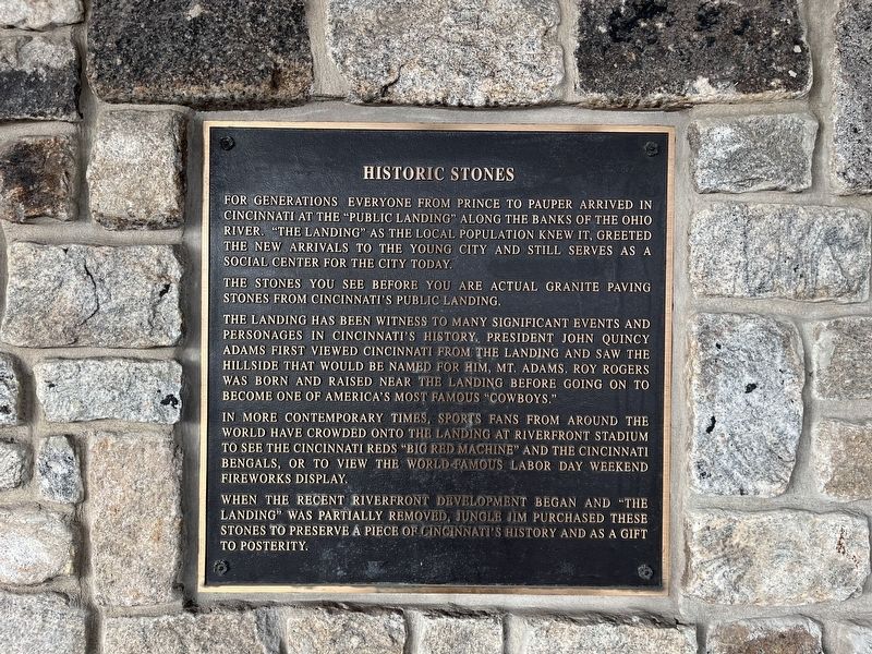
Historic Stones
For generations everyone from prince to pauper arrived in Cincinnati at the "public landing" along the banks of the Ohio River. "The Landing" as the local population knew it, greeted the new arrivals to the young city and still serves as a social center for the city today.
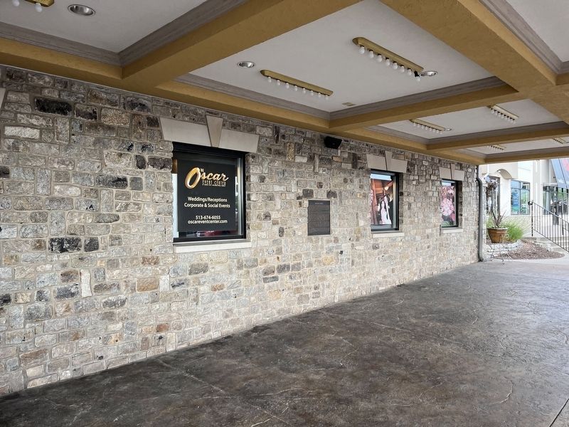
The stones you see before you are actual granite paving stones from Cincinnati's public landing.
The landing has been witness to many significant events and personages in Cincinnati's history. President John Quincy Adams first viewed Cincinnati from the Landing and saw the hillside that would be named for him, Mt. Adams. Roy Rogers was born and raised near the Landing before going on to become one of America's most famous "cowboys."
In more contemporary times, sports fans from around the world have crowded onto the landing at Riverfront Stadium to see the Cincinnati Reds "Big Red Machine" and the Cincinnati Bengals, or to view the world-famous Labor Day Weekend Fireworks Display.
When the recent riverfront development began and "The Landing" was partially removed, Jungle Jim purchased these stones to preserve a piece of Cincinnati's history and as a gift to posterity.
Erected by Jungle Jim.
Topics and series. This historical marker is listed in these topic lists: Natural Features • Notable Events • Settlements & Settlers • Sports • Waterways & Vessels. In addition, it is included in the Former U.S. Presidents: #06 John Quincy Adams series list.
Location. 39° 20.094′ N, 84° 31.456′ W. Marker is in Fairfield, Ohio, in Butler County. Marker is on Dixie Highway (Ohio Route 4) west of Holden Boulevard, on the right when traveling west. Touch for map. Marker is at or near this postal address: 5440 Dixie Hwy, Fairfield OH 45014, United States of America. Touch for directions.
Other nearby markers. At least 8 other markers are within 4 miles of this marker, measured as the crow flies. Hamilton Airport - Hogan Field (approx. 1.9 miles away); Hay Garden (approx. 2 miles away); Ezekiel Walker - Revolutionary War Soldier (approx. 2 miles away); Elisha Morgan Farm Mansion (approx. 2 miles away); The Newell School (approx. 3.2 miles away); Crawford Woods (approx. 3.4 miles away); Miami Chapel Cemetery / Fair Play (approx. 3.8 miles away); Morgan’s Raid Through Springdale (approx. 3.9 miles away). Touch for a list and map of all markers in Fairfield.
Credits. This page was last revised on July 2, 2022. It was originally submitted on July 2, 2022, by Devry Becker Jones of Washington, District of Columbia. This page has been viewed 174 times since then and 22 times this year. Photos: 1, 2. submitted on July 2, 2022, by Devry Becker Jones of Washington, District of Columbia.

