Near McCamey in Upton County, Texas — The American South (West South Central)
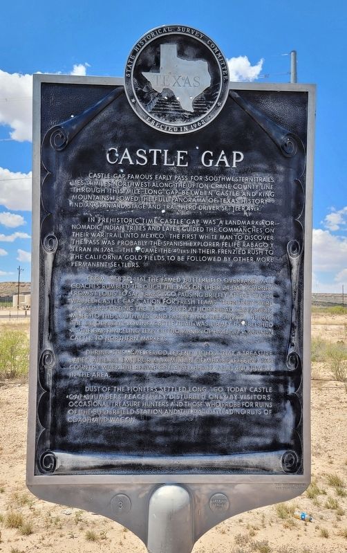
Castle Gap
In prehistoric time Castle Gap was a landmark for nomadic Indian tribes and later guided the Commanches on their war trail into Mexico. The first white man to discover the pass was probably the Spanish explorer Felipe Rabago y Teran in 1761. Then came the 49ers in their frenzied rush to the California gold fields, to be followed by other, more permanent settlers.
From 1858 to 1861 the famed Butterfield Overland Mail coaches rumbled through the pass on their 24-day journey from St. Louis to San Francisco, pausing briefly at the adobe walled Castle Gap Station for fresh teams. Then they were off again, fording the Pecos River at Horsehead Crossing 12 miles to the southwest and fading into the sunset. By 1866 the Goodnight-Loving cattle trail was firmly established at the gap funneling tens of thousands of bawling longhorn cattle to northern markets.
During this same period, legend holds that a treasure laden aide of Emperor Maximilian of Mexico, fleeing the country when the regime collapsed, buried gold and jewels in the area.
Dust of the pioneers settled long go. Today Castle Gap slumbers peacefully, disturbed only by visitors, occasional treasure hunters and those who probe for ruins of the Butterfield Station and the rapidly fading ruts of coach and wagon.
Erected 1962 by State Historical Survey Committee. (Marker Number 754.)
Topics. This historical marker is listed in these topic lists: Colonial Era • Exploration • Native Americans • Roads & Vehicles. A significant historical year for this entry is 1761.
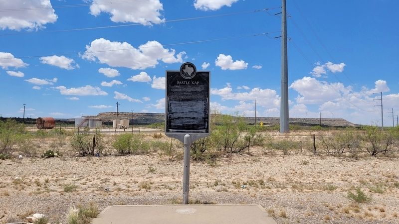
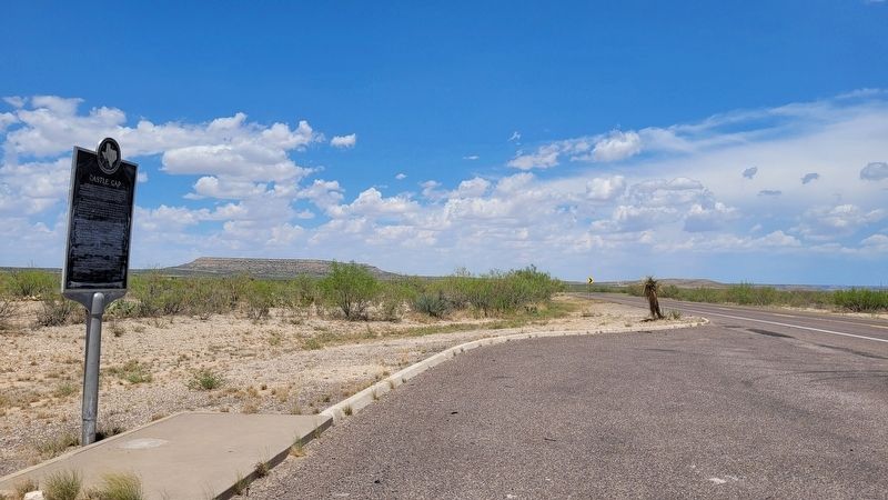
Location. 31° 9.506′ N, 102° 8.723′ W. Marker is near McCamey, Texas, in Upton County. Marker is at the intersection of U.S. 67 and King Mountain Road, on the right when traveling west on U.S. 67. The marker is located along a roadside pullout next to the highway. Touch for map. Marker is in this post office area: Mc Camey TX 79752, United States of America. Touch for directions.
Other nearby markers. At least 8 other markers are within 5 miles of this marker, measured as the crow flies. T.P. Tavern (approx. 3.2 miles away); Early Humble Camp in Permian Basin (approx. 4½ miles away); Mendoza Trail (approx. 4½ miles away); King Mountain (approx. 4½ miles away); Rattlesnake Butte (approx. 4.8 miles away); Rodman-Noel Oil Field (approx. 4.8 miles away); McCamey Junior High School (approx. 4.9 miles away); Nancy Ethie Eagleton (approx. 4.9 miles away). Touch for a list and map of all markers in McCamey.
Also see . . .
1. Castle Gap.
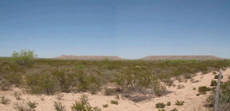
Castle Gap is a pass through the Castle Mountains, whose rimrock suggests the parapets of a castle, between Crane and McCamey at the edge of the Edwards Plateau in extreme western Upton County (at 31°18' N, 102°17' W). The gap is a mile long and only yards wide at its narrowest point. It lies 421 feet below the summits of Castle Mountain to the north and King Mountain to the south, each of which rises to an elevation of 3,141 feet. The pass opens westward to the arid lowlands of the Pecos valley and toward Horsehead Crossing, twelve miles west-southwest. Source: Texas State Historical Association - The Handbook of Texas(Submitted on July 4, 2022, by James Hulse of Medina, Texas.)
2. Rabago y Teran, Felipe de (unknown–ca. 1769). Texas State Historical Association (Submitted on July 4, 2022, by James Hulse of Medina, Texas.)
Credits. This page was last revised on August 3, 2022. It was originally submitted on July 3, 2022, by James Hulse of Medina, Texas. This page has been viewed 434 times since then and 107 times this year. Photos: 1, 2, 3. submitted on July 4, 2022, by James Hulse of Medina, Texas. 4. submitted on August 3, 2022, by Richard Denney of Austin, Texas.


