Near Poynette in Columbia County, Wisconsin — The American Midwest (Great Lakes)
John Muir View
Photographed by Gordon Govier, June 20, 2009
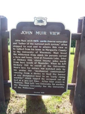
1. John Muir View Marker
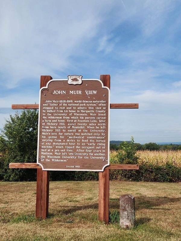
John Muir (1838-1914), world famous naturalist and "father of the national park system," often stopped to rest and admire this view as he walked from his home in Marquette County to the University of Wisconsin. Muir loved the wilderness from which his parents carved a farm and home, first at Fountain Lake, later at Hickory Hill, about 20 miles north from here (south of Montello). When he left Hickory Hill to enroll at the University, Muir's love for nature was matched only by his genius for "mechanical contrivances" varying from a device to feed the horses at any designated hour to an "early rising machine" which tipped the occupant out of bed at a pre-set time. After four years in Madison, Muir left "one university for another, Wisconsin University for the University of the Wilderness."
Erected 1955 by Wisconsin Historical Society. (Marker Number 29.)
Topics and series. This historical marker is listed in these topic lists: Education • Environment • Parks & Recreational Areas. In addition, it is included in the Wisconsin Historical Society series list.
Location. 43° 22.778′ N,
this page online

Regionally, this marker is in Greater Madison. It is also in the American Midwest and in the Corn Belt. Globally, it is in North America, the Western Hemisphere, the Western World, and the Anglosphere. Historically, it finds itself in what was once the territory of the Mississippian Culture and also the Northwest Territory.
Other nearby markers. At least 8 other markers are within 7 miles of this marker, measured as the crow flies: Wallis Rowan and His Cabin (approx. 0.6 miles away); The Circus (approx. 5.1 miles away); Veterans of the American Revolution Memorial Bridge (approx. 5.1 miles away); Wisconsin Veterans Memorial Highway (approx. 5.1 miles away); a different marker also named Wisconsin Veterans Memorial Highway (approx. 5.6 miles away); a different marker also named Veterans of the American Revolution Memorial Bridge (approx.
Photographed by Gordon Govier, June 20, 2009
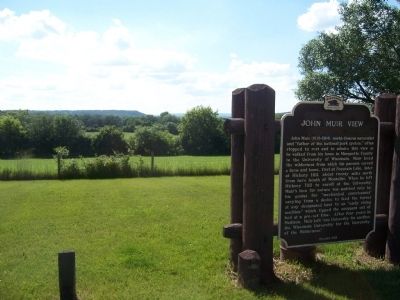
2. John Muir View
Also see . . . John Muir: A Brief Biography. Sierra Club website entry (Submitted on June 22, 2009, by Syd Whittle of Mesa, Arizona.)
Additional keywords. Sierra Club
Photographed by Gordon Govier, June 20, 2009
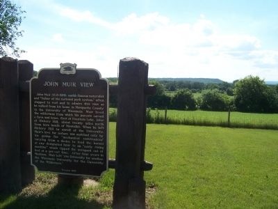
3. John Muir View
Photographed by Greta Schassler, September 14, 2024
4. John Muir View Marker
Credits. This page was last revised on September 21, 2024. It was originally submitted on June 21, 2009, by Gordon Govier of Fitchburg, Wisconsin. This page has been viewed 4,661 times since then and 196 times this year. Photos: 1, 2, 3. submitted on June 21, 2009, by Gordon Govier of Fitchburg, Wisconsin. 4. submitted on September 16, 2024, by Greta Mulder of Milwaukee, Wisconsin. • Syd Whittle was the editor who published this page.
