Ocala in Marion County, Florida — The American South (South Atlantic)
Fort King Road
Fort King National Historic Landmark
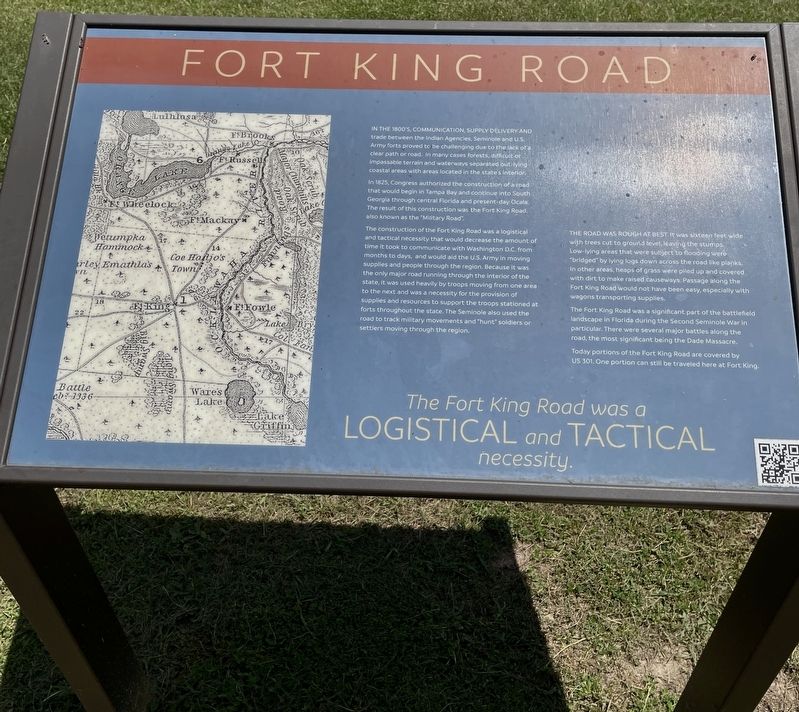
In 1825, Congress authorized the construction of a road that would begin in Tampa Bay and continue into South Georgia through central Florida and present-day Ocala. The result of this construction was the Fort King Road, also known as the "Military Road".
The construction of the Fort King Road was a logistical and tactical necessity that would decrease the amount of time it took to communicate with Washington D.C. from months to days, and would aid the U.S. Army in moving supplies and people through the region. Because it was the only major road running through the interior of the state, it was used heavily by troops moving from one area to the next and was a necessity for the provision of supplies and resources to support the troops stationed at forts throughout the state. The Seminole also used the road to track military movements and "hunt" soldiers or settlers moving through the region.
The road was rough at best. It was sixteen feet wide with trees cut to ground level, leaving the stumps. Low-lying areas that were subject to flooding were "bridged" by lying logs down across the road like planks. In other areas, heaps of grass were piled up and covered with dirt to make raised causeways. Passage along the Fort King Road would not have been easy, especially with wagons transporting supplies.
The Fort King Road was a significant part of the battlefield landscape in Florida during the Second Seminole War in particular. There were several major battles along the road, the most significant being the Dade Massacre.
Today portions of the Fort King Road are covered by US 301. One portion can still be traveled here at Fort King.
Logistical and Tactical
necessity
Erected by Florida Department of State/Division of Historical Resources.
Topics. This historical marker is listed in these topic lists: Forts and Castles • Native Americans • Roads & Vehicles • Settlements & Settlers • Wars, US Indian. A significant historical year for this entry is 1825.
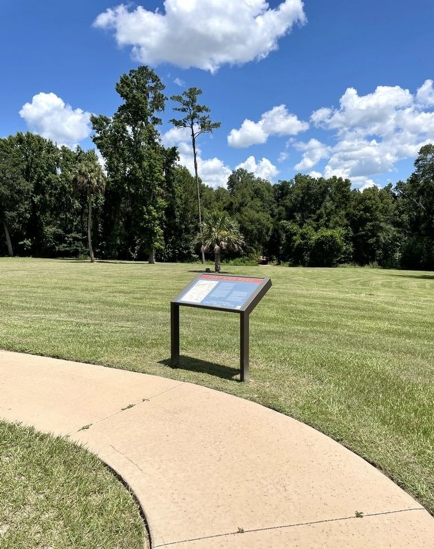
Location. 29° 11.247′ N, 82° 4.954′ W. Marker is in Ocala, Florida, in Marion County. Marker can be reached from the intersection of East Fort King Street and SE 39th Avenue. Marker is located on the grounds of the Fort King National Historic Landmark. Touch for map. Marker is at or near this postal address: 3925 E Fort King St, Ocala FL 34470, United States of America. Touch for directions.
Other nearby markers. At least 8 other markers are within walking distance of this marker. The Second Fort (a few steps from this marker); A Tale of Two Forts (a few steps from this marker); The Seminole War (a few steps from this marker); The U.S. Army on the frontier (within shouting distance of this marker); The First Seminole War (within shouting distance of this marker); The Second Seminole War / The Third Seminole War (within shouting distance of this marker); Fort King (within shouting distance of this marker); It was a Hard Life at Fort King (within shouting distance of this marker). Touch for a list and map of all markers in Ocala.
Also see . . .
1. Road to Ruin: Retracing the old Fort King Military Road by Strategy. (Submitted on July 6, 2022, by Brandon D Cross of Flagler Beach, Florida.)
2. Fort King National Historic Landmark. (Submitted on July 6, 2022, by Brandon D Cross of Flagler Beach, Florida.)
Credits. This page was last revised on July 13, 2022. It was originally submitted on July 6, 2022, by Brandon D Cross of Flagler Beach, Florida. This page has been viewed 106 times since then and 18 times this year. Photos: 1, 2. submitted on July 6, 2022, by Brandon D Cross of Flagler Beach, Florida. • J. J. Prats was the editor who published this page.

