Near Lawrenceville in Brunswick County, Virginia — The American South (Mid-Atlantic)
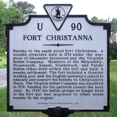
Fort Christanna
Erected 2001 by Department of Historic Resources. (Marker Number U-90.)
Topics and series. This historical marker is listed in these topic lists: Colonial Era • Forts and Castles • Native Americans • Settlements & Settlers. In addition, it is included in the Virginia Department of Historic Resources (DHR) series list. A significant historical year for this entry is 1714.
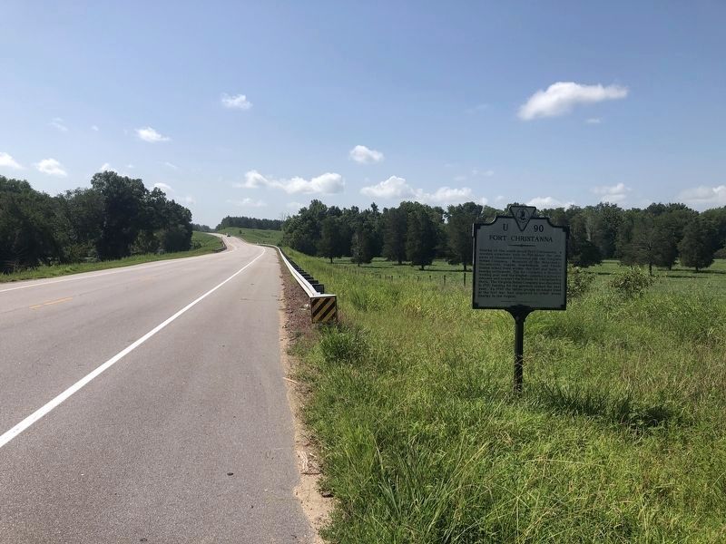
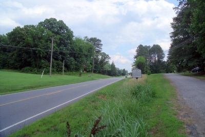
Location. 36° 43.552′ N, 77° 51.144′ W. Marker is near Lawrenceville, Virginia, in Brunswick County. Marker is on Christanna Highway (Virginia Route 46) 0.7 miles south of Iron Bridge Road (County Road 715), on the right when traveling south. Touch for map. Marker is at or near this postal address: 14526 Christanna Hwy, Lawrenceville VA 23868, United States of America. Touch for directions.
Other nearby markers. At least 8 other markers are within 3 miles of this marker, measured as the crow flies. Site of Fort Christanna (approx. 1.3 miles away); The Colonial Dames of America Monument (approx. 1.3 miles away); Governor Alexander Spotswood (approx. 1.3 miles away); Fort Christanna: Established 1714 (approx. 1.3 miles away); Native Americans and Fort Christanna (approx. 1.3 miles away); Fort Christanna Historical Site (approx. 1.3 miles away); Hospital and School of the Good Shepherd (approx. 2.1 miles away); Brunswick County Courthouse (approx. 2.3 miles away). Touch for a list and map of all markers in Lawrenceville.
Credits. This page was last revised on August 28, 2021. It was originally submitted on June 22, 2009, by Bernard Fisher of Richmond, Virginia. This page has been viewed 1,395 times since then and 48 times this year. Photos: 1. submitted on June 22, 2009, by Bernard Fisher of Richmond, Virginia. 2. submitted on August 28, 2021, by Devry Becker Jones of Washington, District of Columbia. 3. submitted on June 22, 2009, by Bernard Fisher of Richmond, Virginia.


