Monroe in Monroe County, Michigan — The American Midwest (Great Lakes)
Monroe Pike
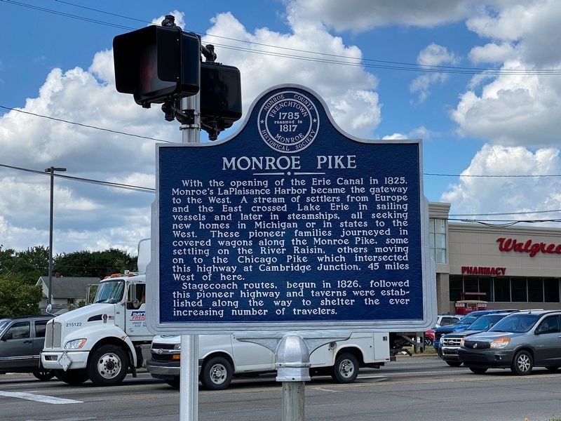
With the opening of the Erie Canal in 1825, Monroe's LaPlaisance Harbor became the gateway to the West. A stream of settlers from Europe and the East crossed Lake Erie in sailing vessels and later in steamships, all seeking new homes in Michigan or in states to the West. These pioneer families journeyed in covered wagons along the Monroe Pike, settling on the River Raisin, others moving on to the Chicago Pike which intersected this highway at Cambridge Junction, 45 miles West of here.
Stagecoach routes, begun in 1826, followed this pioneer highway and taverns were established along the way to shelter the ever increasing number of travelers.
Erected by Monroe County Historical Society.
Topics. This historical marker is listed in this topic list: Roads & Vehicles. A significant historical year for this entry is 1825.
Location. 41° 55.183′ N, 83° 24.988′ W. Marker is in Monroe, Michigan, in Monroe County. Marker is at the intersection of South Telegraph Road and West Front Street, on the right when traveling north on South Telegraph Road. Touch for map. Marker is at or near this postal address: 435 South Telegraph Road, Monroe MI 48161, United States of America. Touch for directions.
Other nearby markers. At least 8 other markers are within walking distance of this marker. Monroe County Korean War Memorial (approx. 0.3 miles away); Monroe County World War I Memorial (approx. 0.3 miles away); Monroe County World Wars Memorial (approx. 0.3 miles away); Monroe County World War II Memorial (approx. 0.3 miles away); Veterans Of Foreign Wars Memorial (approx. 0.3 miles away); Monroe County War On Terror Memorial (approx. 0.3 miles away); Monroe County Persian Gulf War Memorial (approx. 0.3 miles away); Lt. Col. Matt L. Urban (approx. 0.3 miles away). Touch for a list and map of all markers in Monroe.
Credits. This page was last revised on July 15, 2022. It was originally submitted on July 15, 2022, by J.T. Lambrou of New Boston, Michigan. This page has been viewed 133 times since then and 15 times this year. Photos: 1, 2. submitted on July 15, 2022, by J.T. Lambrou of New Boston, Michigan. • J. Makali Bruton was the editor who published this page.

