Near Wantage in Sussex County, New Jersey — The American Northeast (Mid-Atlantic)
To the West
Photographed by William Fischer, Jr., July 15, 2022
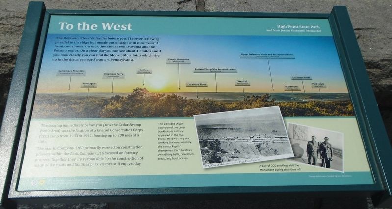
1. To the West Marker
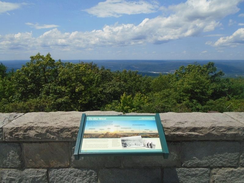
The Delaware River Valley lies before you. The river is flowing parallel to the ridge but mostly out of sight until it curves and heads northwest. On the other side is Pennsylvania and the Pocono region. On a clear day you can see about 40 miles and if you look closely you can find the Moosic Mountains which rise up in the distance near Scranton, Pennsylvania.
The clearing immediately below you (now the Cedar Swamp Picnic Area) was the location of a Civilian Conservation Corps (CCC) camp from 1933 to 1941, housing up to 200 men at a time.
The men in Company 1280 primarily worked on construction projects within the Park. Company 216 focused on forestry projects. Together they are responsible for the construction of many of the roads and facilities park visitors still enjoy today.
[Bottom right photo captions read]
• This postcard shows a portion of the camp bunkhouses as they appeared in the mid-1930s. Despite living and working in close proximity, the camps kept to themselves. Each had their own dining halls, recreation areas, and bunkhouses.
• A pair of CCC enrollees visit the Monument during their time off.
Erected by New
this page online
Topics. This historical marker is listed in these topic lists: Charity & Public Work • Environment • Horticulture & Forestry • Parks & Recreational Areas. A significant historical year for this entry is 1933.
Location. 41° 19.26′ N, 74° 39.703′ W. Marker is near Wantage, New Jersey, in Sussex County. It can be reached from Monument Road. Marker is at the base of the High Point Monument in High Point State Park. Touch for map. Marker is at or near this postal address: 1480 NY Route 23 (Park Office address), Sussex NJ 07461, United States of America. Touch for directions.

Regionally, this marker is in North Jersey and in the New York City Metropolitan Area. It is also in the American Northeast and in the Mid-Atlantic. Globally, it is in North America, the Western Hemisphere, the Western World, and the Anglosphere. Historically, it finds itself in what was once New Netherland and also one of the original Thirteen Colonies.
Other nearby markers. At least 8 other markers are within walking distance of this marker: High Point Monument (a few steps from this marker); To the South
Photographed by William Fischer, Jr., July 15, 2022
2. To the West Marker and View
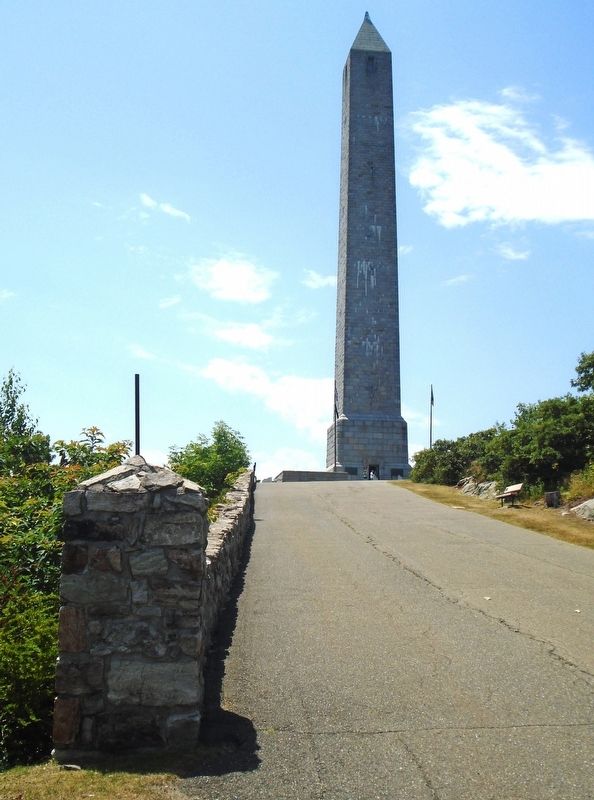
More about this marker. The monument is visible for miles.
Also see . . . High Point State Park Overview. (Submitted on July 15, 2022, by William Fischer, Jr. of Reynoldsburg, Ohio.)
Photographed by William Fischer, Jr., July 15, 2022
3. High Point Monument

Photographed by William Fischer, Jr., July 15, 2022
4. To the North Marker
Photographed by William Fischer, Jr., July 15, 2022
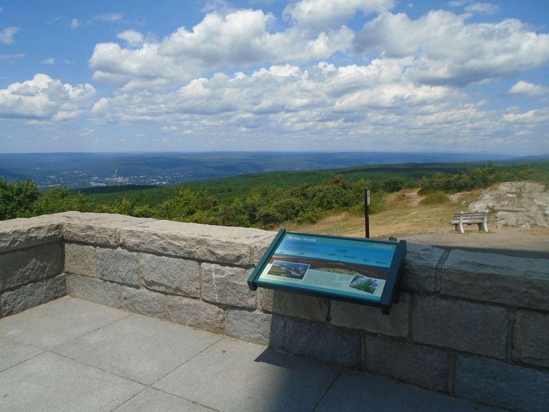
5. To the North Marker and View
Credits. This page was last revised on July 15, 2022. It was originally submitted on July 15, 2022, by William Fischer, Jr. of Reynoldsburg, Ohio. This page has been viewed 218 times since then and 12 times this year. Photos: 1, 2, 3, 4, 5. submitted on July 15, 2022, by William Fischer, Jr. of Reynoldsburg, Ohio.
