Lowellville in Mahoning County, Ohio — The American Midwest (Great Lakes)
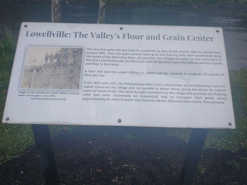
Lowellville: The Valley's Flour and Grain Center
The very first grist mill was built in Lowellville by John McGill shortly after he settled here around 1800. Over the years several more grist and flouring mills were established along the banks of the Mahoning River. At one time, the villages of Lowell (on the north bank of the river) and McGillsville (on the south bank of the river) were the main producers of grain and flour in the Valley.
A later mill was the Lowell Milling Co. which had the capacity to produce 725 barrels of flour per day.
From 1839 until 1872, the Pennsylvania-Ohio Canal (also known as the Mahoning Cross-Cut Canal) traversed the village and ran parallel to Water Street giving the street its original mills and other businesses an economical way to transport their goods across name of Canal Street. The canal brought commerce to the village and provided the flouring approximately 82 miles of water way between Akron, Ohio and New Castle, Pennsylvania.
Topics. This historical marker is listed in these topic lists: Agriculture • Industry & Commerce • Waterways & Vessels. A significant historical year for this entry is 1800.
Location. 41° 2.234′ N, 80° 32.275′ W. Marker is in Lowellville, Ohio, in Mahoning County. Marker is on West Water Street west of McGill Street, on the left when traveling west. Touch for map. Marker is at or near this postal address: 60 W Water St, Lowellville OH 44436, United States of America. Touch for directions.
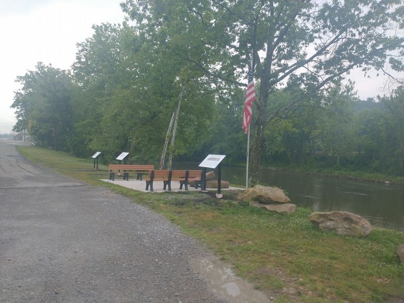
Other nearby markers. At least 8 other markers are within 2 miles of this marker, measured as the crow flies. Our River: A Valuable Recorce for Lowellville's Early Industries (here, next to this marker); Lowellville's Industrial History (a few steps from this marker); Dam Removal Project (a few steps from this marker); The Mahoning River on Display (about 500 feet away, measured in a direct line); Lowellville Veterans Memorial (approx. 0.2 miles away); Lowellville Veterans Park (approx. 0.2 miles away); The Little Red School House (approx. 1.8 miles away); Quaker Falls (approx. 1.8 miles away in Pennsylvania). Touch for a list and map of all markers in Lowellville.
Credits. This page was last revised on July 20, 2022. It was originally submitted on July 17, 2022, by Craig Doda of Napoleon, Ohio. This page has been viewed 107 times since then and 22 times this year. Photos: 1, 2. submitted on July 17, 2022, by Craig Doda of Napoleon, Ohio. • Devry Becker Jones was the editor who published this page.
Editor’s want-list for this marker. A clearer photo of the marker and context photo. • Can you help?

