Battleford in Battle River No. 438, Saskatchewan — The Prairie Region (North America)
Fort Battleford
Photographed by Cosmos Mariner, July 14, 2022
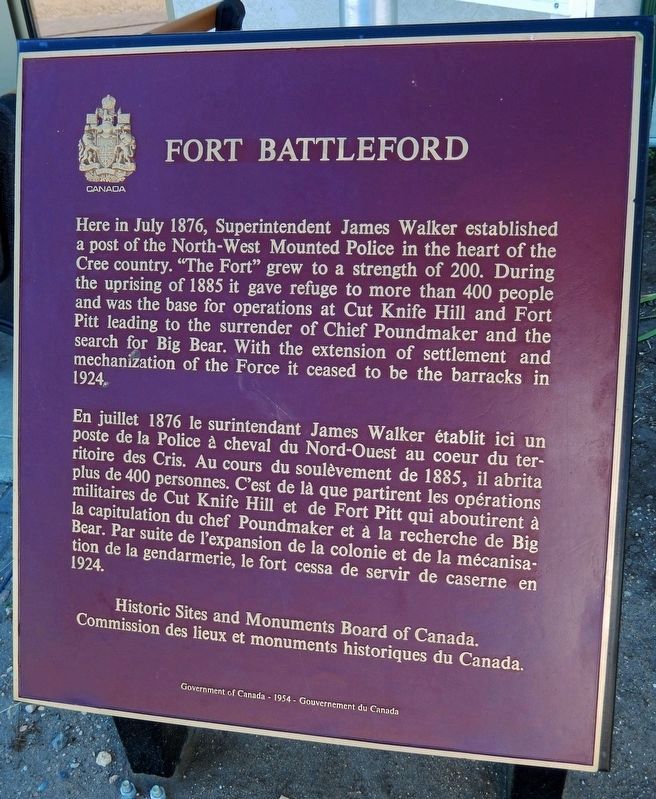
1. Fort Battleford Marker

Here in July 1876, Superintendent James Walker established a post of the North-West Mounted Police in the heart of the Cree country. "The Fort" grew to a strength of 200. During the uprising of 1885 it gave refuge to more than 400 people and was the base for operations at Cut Knife Hill and Fort Pitt leading to the surrender of Chief Poundmaker and the search for Big Bear. With the extension of settlement and mechanization of the Force it ceased to be the barracks in 1924.
Erected 1954 by Historic Sites and Monuments Board of Canada/Commission des lieux et monuments historiques du Canada.
Topics and series.
this page online
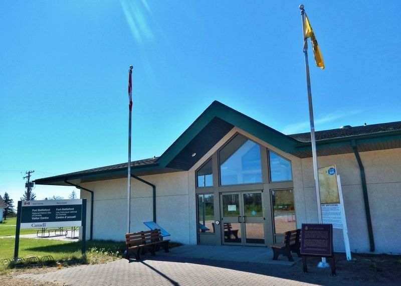
Location. 52° 43.622′ N, 108° 17.963′ W. Marker is in Battleford, Saskatchewan, in Battle River No. 438. It can be reached from Central Avenue just north of Campbell Innes Way, on the right when traveling north. Marker is located at the Fort Battleford National Historic Site entrance. Touch for map. Marker is in this post office area: Battleford SK S0M 0E0, Canada. Touch for directions.

Regionally, this marker is in Parkland Saskatchewan. It is also in the Prairies. Globally, it is in North America, the Western Hemisphere, the Western World, and the Anglosphere. Historically, it finds itself in what was once a British colony and also Rupert’s Land.
Other nearby markers. At least 8 other markers are within 2 kilometers of this marker, measured as the crow flies: A Tribute to Frederick George Light (approx. 0.8 kilometers
Photographed by Cosmos Mariner, July 14, 2022
2. Fort Battleford National Historic Site entrance
Also see . . .
1. Fort Battleford National Historic Site.
Established in 1876, Fort Battleford is at the center of some of the most important events in the post-European contact history of western Canada. The North West Mounted Police (NWMP) at Fort Battleford served many roles, and the town of Battleford was the first capital of the North West Territories. NWMP members were police officers as well as translators, administrators, and escorts, especially during Treaty Six negotiations. The NWMP at Fort Battleford also had an active role in the 1885 conflicts.(Submitted on July 21, 2022, by Cosmos Mariner of Cape Canaveral, Florida.)
2. Fort Battleford.
Photographed by Cosmos Mariner, July 14, 2022
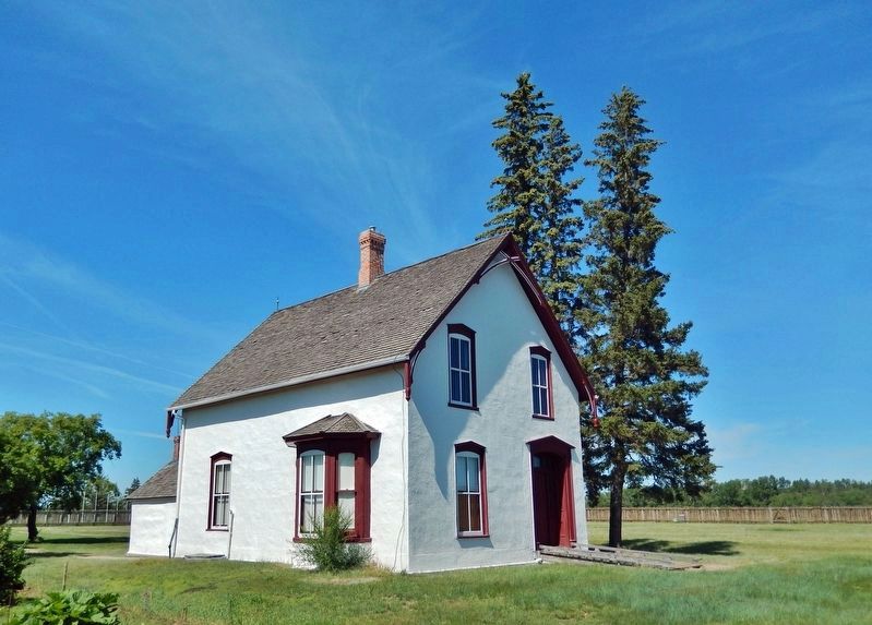
3. Fort Battleford: Commanding Officer’s Quarters
Fort Battleford was the sixth North-West Mounted Police fort to be established in the North-West Territories of Canada, and played a central role in the events of the North-West Rebellion of 1885. It was here Chief Poundmaker was arrested, and where six Cree and two Stoney men were hanged for murders committed in the Frog Lake Massacre and the Looting of Battleford. Its location near the confluence of the North Saskatchewan and the Battle rivers offered access to fresh water, as it was many years before an on-site well was made available. The fort sheltered around 500 people, and they helped to fortify Battleford.(Submitted on July 21, 2022, by Cosmos Mariner of Cape Canaveral, Florida.)
Photographed by Cosmos Mariner, July 14, 2022
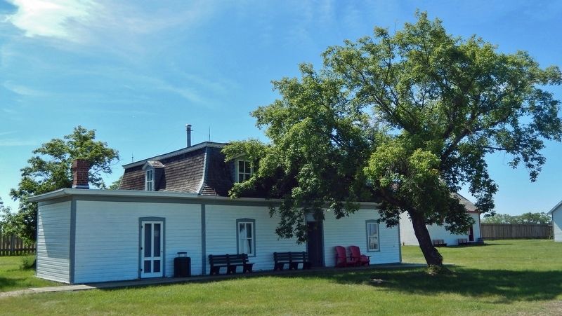
4. Fort Battleford: Officers Quarters
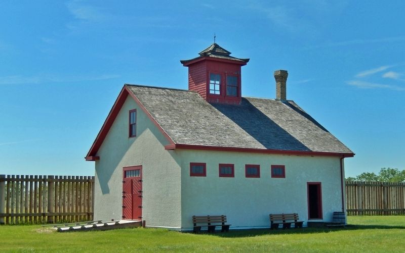
Photographed by Cosmos Mariner, July 14, 2022
5. Fort Battleford: Sick Horse Stable
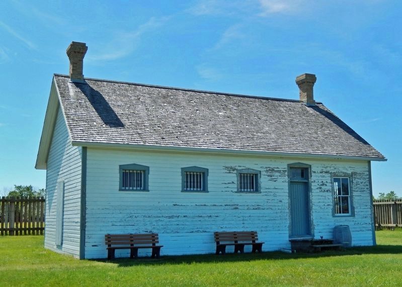
Photographed by Cosmos Mariner, July 14, 2022
6. Fort Battleford: Guardhouse & Jail
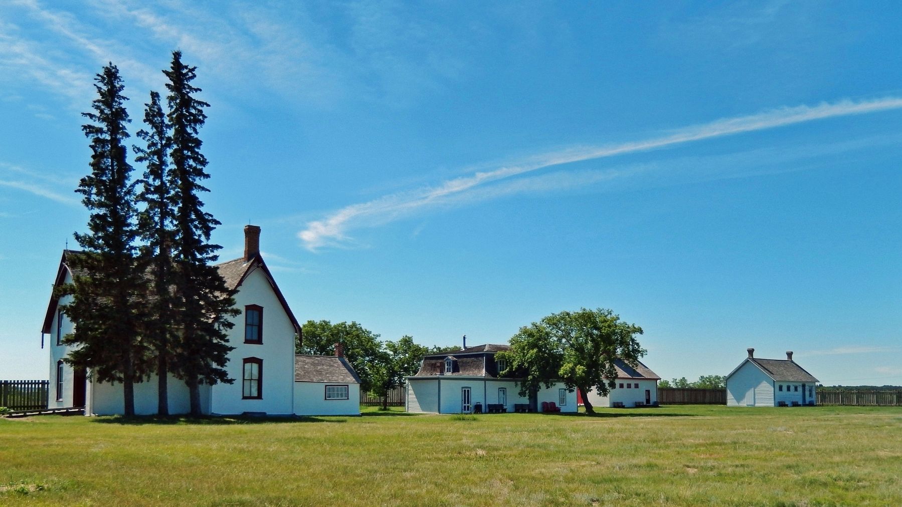
Photographed by Cosmos Mariner, July 14, 2022
7. Fort Battleford National Historic Site
Credits. This page was last revised on October 24, 2025. It was originally submitted on July 21, 2022, by Cosmos Mariner of Cape Canaveral, Florida. This page has been viewed 420 times since then and 19 times this year. Photos: 1, 2, 3, 4, 5, 6, 7. submitted on July 21, 2022, by Cosmos Mariner of Cape Canaveral, Florida.
