Devils Tower in Crook County, Wyoming — The American West (Mountains)
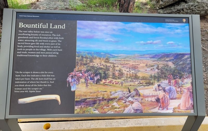
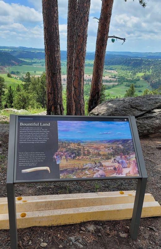
Bountiful Land
"On the scraper it shows a dot for every hunt. Each line indicates a hide that was taken per hunt. The elk horn itself has an indentation of where her thumb is. And you think about all the hides that this woman used the scraper on."
Trina Lone Hill, Oglala Sioux
Erected by Devils Tower National Monument - National Park Service.
Topics. This historical marker is listed in these topic lists: Native Americans • Parks & Recreational Areas.
Location. 44° 35.365′ N, 104° 43.007′ W. Marker is in Devils Tower, Wyoming, in Crook County. Marker can be reached from Devils Tower National Monument Road (State Highway 110) 3˝ miles west of State Highway 24. The marker is located along the Tower Trail. Touch for map. Marker is at or near this postal address: 340 WY-110, Devils Tower WY 82714, United States of America. Touch for directions.
Other nearby markers. At least 8 other markers are within walking distance of this marker. People of the Land (within shouting distance of this marker); Buried Tower (about 300 feet away, measured in a direct line); How Did the Tower Form? (about 500 feet away); Reach for the Top (about 600 feet away); Many Meanings for Many People (about 800 feet away); Friends, Family, and Fun (about 800 feet away); Devils Tower ... the first National Monument (about 800 feet away); Daredevil Stunt (approx. 0.2 miles away). Touch for a list and map of all markers in Devils Tower.
More about this marker. The marker is located on the grounds of the Devil's Tower National Park which requires a small entrance fee to access.
Also see . . . Devils Tower National Monument. (Submitted on July 22, 2022, by James Hulse of Medina, Texas.)
Credits. This page was last revised on July 22, 2022. It was originally submitted on July 22, 2022, by James Hulse of Medina, Texas. This page has been viewed 93 times since then and 13 times this year. Photos: 1, 2, 3. submitted on July 22, 2022, by James Hulse of Medina, Texas.


