Franklin in Williamson County, Tennessee — The American South (East South Central)
James McGavock Family Cemetery
Photographed by Darren Jefferson Clay, July 23, 2022
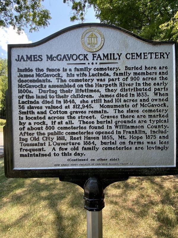
1. James McGavock Family Cemetery Marker
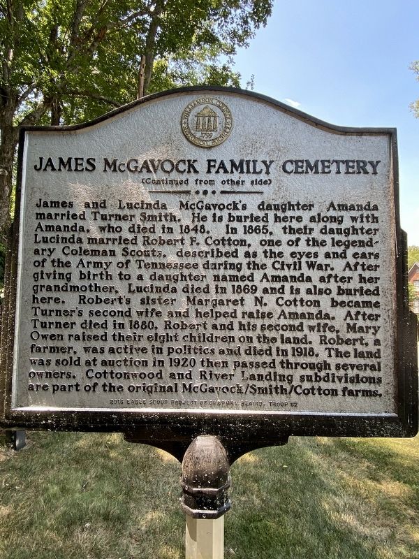
James and Lucinda McGavock’s daughter Amanda married Turner Smith. He is buried here along with Amanda, who died in 1848. In 1865, their daughter Lucinda married Robert F. Cotton, one of the legendary Coleman Scouts, described as the eyes and ears of
this page online
Erected 2018 by Williamson County Historical Society.
Topics. This historical marker is listed in these topic lists: Cemeteries & Burial Sites • Settlements & Settlers.
Location. 35° 58.754′ N, 86° 54.648′ W. Marker is in Franklin, Tennessee, in Williamson County. It is on Highgrove Circle, on the right when traveling east. Touch for map. Marker is at or near this postal address: 824 Highgrove Cir, Franklin TN 37069, United States of America. Touch for directions.

Regionally, this marker is in Middle
Photographed by Darren Jefferson Clay, July 23, 2022
2. James McGavock Family Cemetery Marker
Other nearby markers. At least 8 other markers are within 2 miles of this marker, measured as the crow flies: Meeting of the Waters (approx. 0.9 miles away); Forest Home (approx. 0.9 miles away); Natchez Trace Road (approx. one mile away); Montpier (approx. 1.1 miles away); The Old Natchez Trace / Old Town Historic Daffodil Project (approx. 1.2 miles away); Berry’s Chapel Church of Christ (approx. 1.2 miles away); Berry’s Chapel Stone Wall / Berry's Chapel Community (approx. 1.3 miles away); Leigh-Morgan Property at Grassland (approx. 1.9 miles away). Touch for a list and map of all markers in Franklin.
Photographed by Darren Jefferson Clay, July 23, 2022
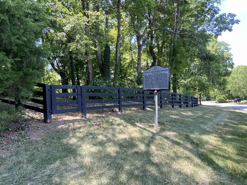
3. James McGavock Family Cemetery Marker
Photographed by Darren Jefferson Clay, July 23, 2022
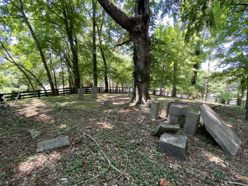
4. James McGavock Family Cemetery
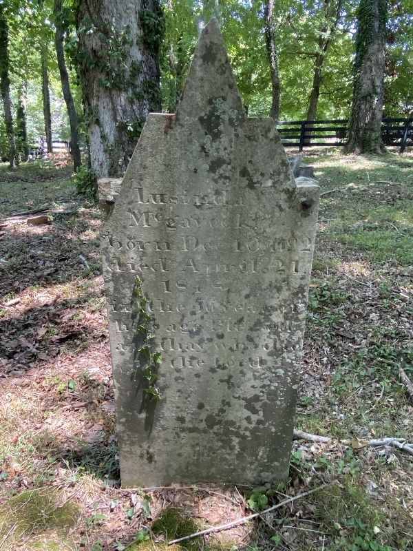
Photographed by Darren Jefferson Clay, July 23, 2022
5. Lucinda McGavock’s headstone
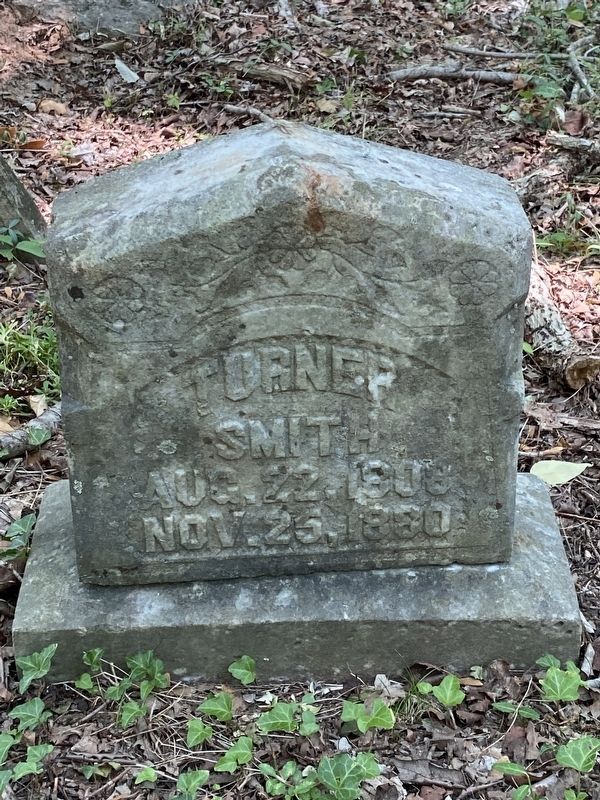
Photographed by Darren Jefferson Clay, July 23, 2022
6. Turner Smith’s headstone
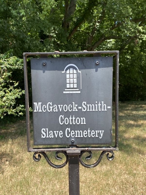
Photographed by Darren Jefferson Clay, July 23, 2022
7. McGavock, Smith and Cotton Slave Cemetery Marker
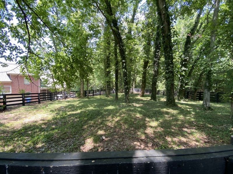
Photographed by Darren Jefferson Clay, July 23, 2022
8. McGavock, Smith, Cotton Slave Cemetery
Credits. This page was last revised on July 25, 2022. It was originally submitted on July 23, 2022, by Darren Jefferson Clay of Duluth, Georgia. This page has been viewed 1,060 times since then and 114 times this year. Photos: 1, 2, 3, 4, 5, 6. submitted on July 23, 2022, by Darren Jefferson Clay of Duluth, Georgia. 7, 8. submitted on July 24, 2022, by Darren Jefferson Clay of Duluth, Georgia. • Mark Hilton was the editor who published this page.
