Franklin in Williamson County, Tennessee — The American South (East South Central)
Hughes Mill Park
Est. 2012
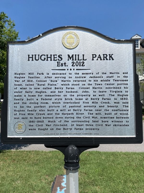
Photographed by Darren Jefferson Clay, July 23, 2022
1. Hughes Mill Park Marker
Erected 2012 by Williamson County Historical Society.
Topics. This historical marker is listed in these topic lists: Settlements & Settlers
this page online
Location. 35° 51.823′ N, 86° 50.683′ W. Marker is in Franklin, Tennessee, in Williamson County. It is on Rural Plains Circle, on the left when traveling south. Touch for map. Marker is at or near this postal address: 1003 Rural Plains Cir, Franklin TN 37064, United States of America. Touch for directions.

Regionally, this marker is in Middle Tennessee and in Greater Nashville. It is also in the American South and specifically in the Upper South. Globally, it is in North America, the Western Hemisphere, the Western World, and the Anglosphere. Historically, it finds itself in what was once the territory of the Mississippian Culture, one of the Confederate States of America, and the Antebellum South.
Other nearby markers. At least 8 other markers are within 3 miles of this marker, measured as the crow flies: Franklin High School Gymnasium Windows (about 500 feet away, measured in a direct line); Forrest’s Recapture of Freeman’s Cannons (approx. 0.2 miles away); Franklin Noon Rotary Rodeo (approx. 0.9 miles away); Tyler Berry (approx. one
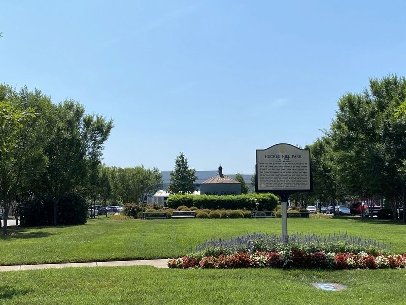
Photographed by Darren Jefferson Clay, July 23, 2022
2. Hughes Mill Park Marker
Credits. This page was last revised on July 24, 2022. It was originally submitted on July 23, 2022, by Darren Jefferson Clay of Duluth, Georgia. This page has been viewed 523 times since then and 61 times this year. Photos: 1, 2. submitted on July 23, 2022, by Darren Jefferson Clay of Duluth, Georgia. • Mark Hilton was the editor who published this page.
