Burns Harbor in Porter County, Indiana — The American Midwest (Great Lakes)
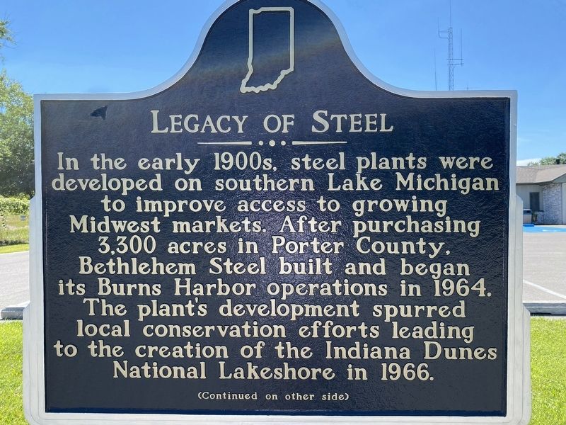
Legacy of Steel
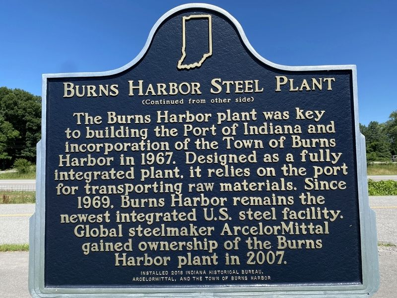
Burns Harbor Steel Plant
In the early 1900s steel plants were developed on southern Lake Michigan to improve access to growing Midwest markets. After purchasing 3,300 acres in Porter County, Bethlehem Steel built and began its Burns Harbor operations in 1964. The plant's development spurred local conservation efforts leading to the creation of the Indiana Dunes National Lakeshore in 1966.
The Burns Harbor plant was key to building the Port of Indiana and incorporation of the Town of Burns Harbor in 1967. Designed as a fully integrated plant, it relies on the port for transporting raw materials. Since 1969, Burns Harbor remains the newest integrated U.S. steel facility. Global steelmaker ArcelorMittal gained ownership of the Burns Harbor plant in 2007.
Erected 2018 by Indiana Historical Bureau, ArcelorMittal, and the Town of Burns Harbor. (Marker Number 64.2018.1.)
Topics. This historical marker is listed in these topic lists: Environment • Industry & Commerce • Waterways & Vessels. A significant historical year for this entry is 1964.
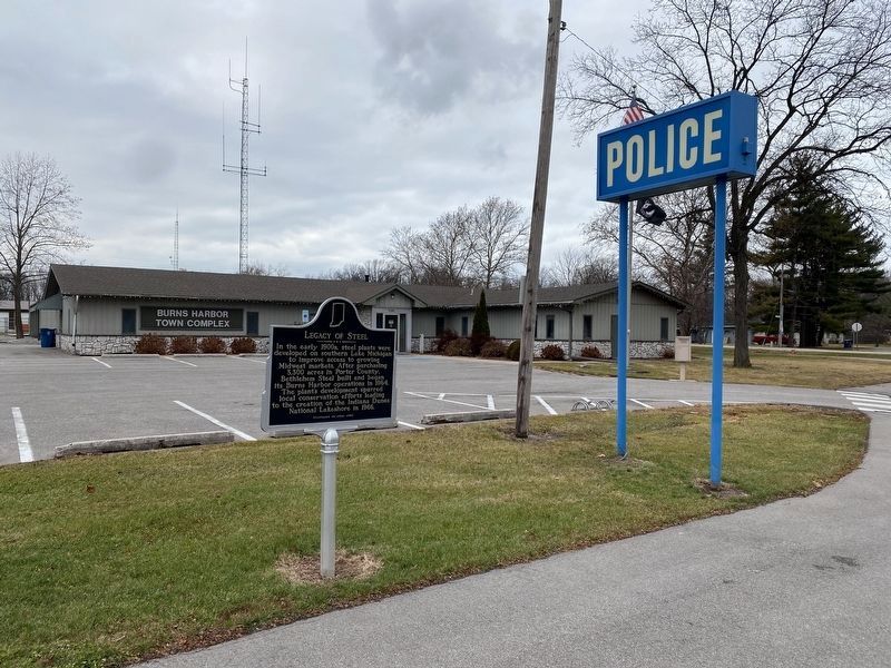
Location. 41° 36.738′ N, 87° 7.579′ W. Marker is in Burns Harbor, Indiana, in Porter County. Marker is on West North Boo Road just south of Navaho Trail, on the left when traveling north. Marker is located in front of the Burns Harbor Town Complex by the bike path. Touch for map. Marker is at or near this postal address: 1240 W North Boo Rd, Chesterton IN 46304, United States of America. Touch for directions.
Other nearby markers. At least 8 other markers are within 5 miles of this marker, measured as the crow flies. The Brown Mansion (approx. 3.4 miles away); Ogden Dunes Ski Jump (approx. 3.4 miles away); Willow Creek Confrontation (approx. 3.4 miles away); Cowles Bog (approx. 3˝ miles away); Dunes Hi-Way (approx. 3.9 miles away); Iron Brigade (approx. 3.9 miles away); Indiana State Police Dunes Park Post #1 (approx. 3.9 miles away); Lustron Home (approx. 4.2 miles away).
Credits. This page was last revised on December 12, 2022. It was originally submitted on July 25, 2022, by Lou Donkle of Valparaiso, Indiana. This page has been viewed 98 times since then and 22 times this year. Photos: 1, 2. submitted on July 25, 2022, by Lou Donkle of Valparaiso, Indiana. 3. submitted on December 11, 2022, by Lou Donkle of Valparaiso, Indiana. • Devry Becker Jones was the editor who published this page.


